140 m away
Mountains to Sea Trail: Mitchell to NC-181
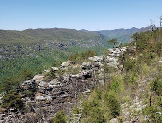
A segment of the Mountains to Sea Trail best known for its traverse through Linville Gorge.
Difficult Hiking
- Distance
- 95 km
- Ascent
- 3.8 km
- Descent
- 4.9 km
An easy, paved path to the observation platform on Mount Mitchell.
Hiking Easy

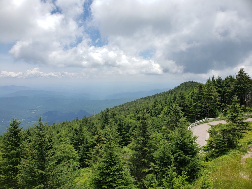
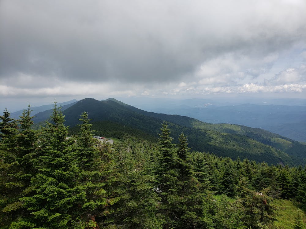
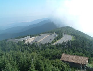
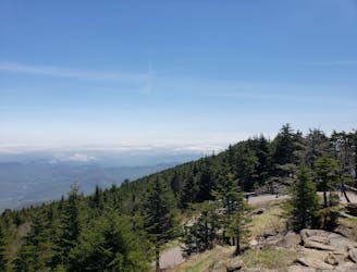
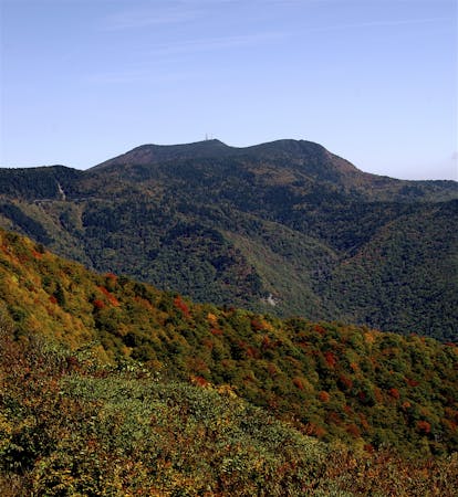
Towering at nearly 6,700' above sea level, Mount Mitchell is a hiker's paradise and the highest peak east of the Mississippi River. The infamous Black Mountain Crest Trail, the High Loop, and North Carolina's 1200-mile long Mountains to Sea Trail all provide incredible hiking experiences within the state park. This short hike provides the same incredible views by way of a paved path to the observation deck at the summit.
According to Wikipedia, "The mountain, previously known as Black Dome for its rounded shape, was named after Elisha Mitchell, a professor at the University of North Carolina, who first explored the Black Mountain region in 1835, and determined that the height of the range exceeded by several hundred feet that of Mount Washington in New Hampshire, commonly thought at the time to be the highest point east of the Rocky Mountains. Mitchell fell to his death at nearby Mitchell Falls in 1857, having returned to verify his earlier measurements."
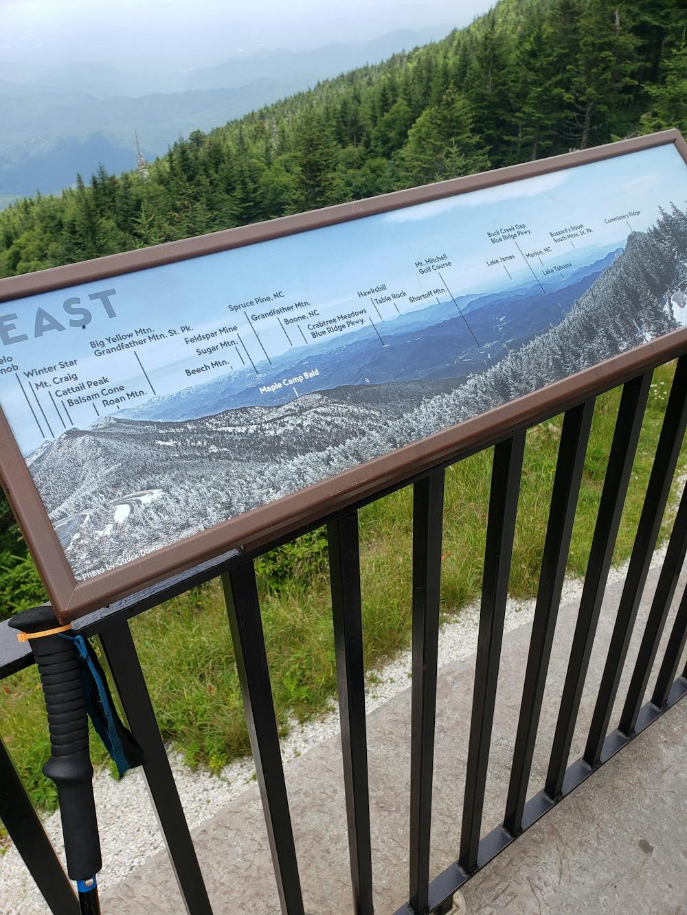
This hike is perfect for the entire family, including those of the 4-legged variety. In less than 1/4 miles, you'll climb gradually from the conscession stand to the observation deck. From it's perch, you are welcomed with incredible 360-degree views of the Blue Ridge. Several placards around the deck denote the surrounding peaks, including Table Rock, Beech Mountain, Mount Pisgah, and even some of the peaks in the Great Smoky Mountains National Park.
Know that Mount Mitchell is typically open from April until October due to harsh winter weather. That said, cooler temperatures at this elevation make it perfect for the entire family to escape the heat of the summer - high temperatures during the summer months average in the 70's.
Easy
Walking along a well-kept trail that’s mostly flat. No obstacles are present.

The path is on completely flat land and potential injury is limited to falling over.
Close to help in case of emergency.
140 m away
A segment of the Mountains to Sea Trail best known for its traverse through Linville Gorge.
Difficult Hiking
2.6 km away
A classic hike to the summit of Mount Mitchell, the highest point east of the Mississippi River.
Difficult Hiking
4.4 km away
An incredibly challenging, yet rewarding, approach to Mount Mitchell.
Severe Hiking
6.5 km away
An epic ridgetop traverse connecting the Blue Ridge Parkway to NC-197.
Difficult Hiking
6.9 km away
A wild loop with waterfalls, sweeping views, and a trek past an abandoned mica mine.
Difficult Hiking
7 routes · Hiking

7 routes · Hiking

10 routes · Hiking

16 routes · Hiking

17 routes · Hiking · Trail Running