2.3 km away
Craggy Pinnacle
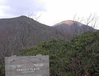
A short hike in the Great Craggy Mountains with sweeping 360-degree views.
Moderate Hiking
- Distance
- 1.1 km
- Ascent
- 49 m
- Descent
- 49 m
A beautiful route across Snowball Mountain, Hawkbill Rock, and the site of a former fire tower.
Hiking Severe
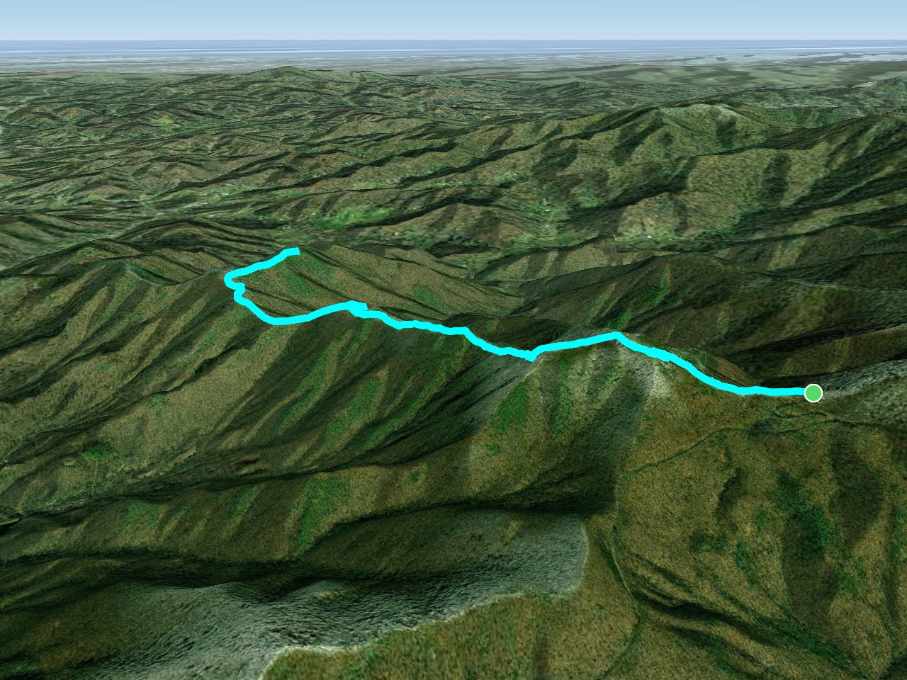
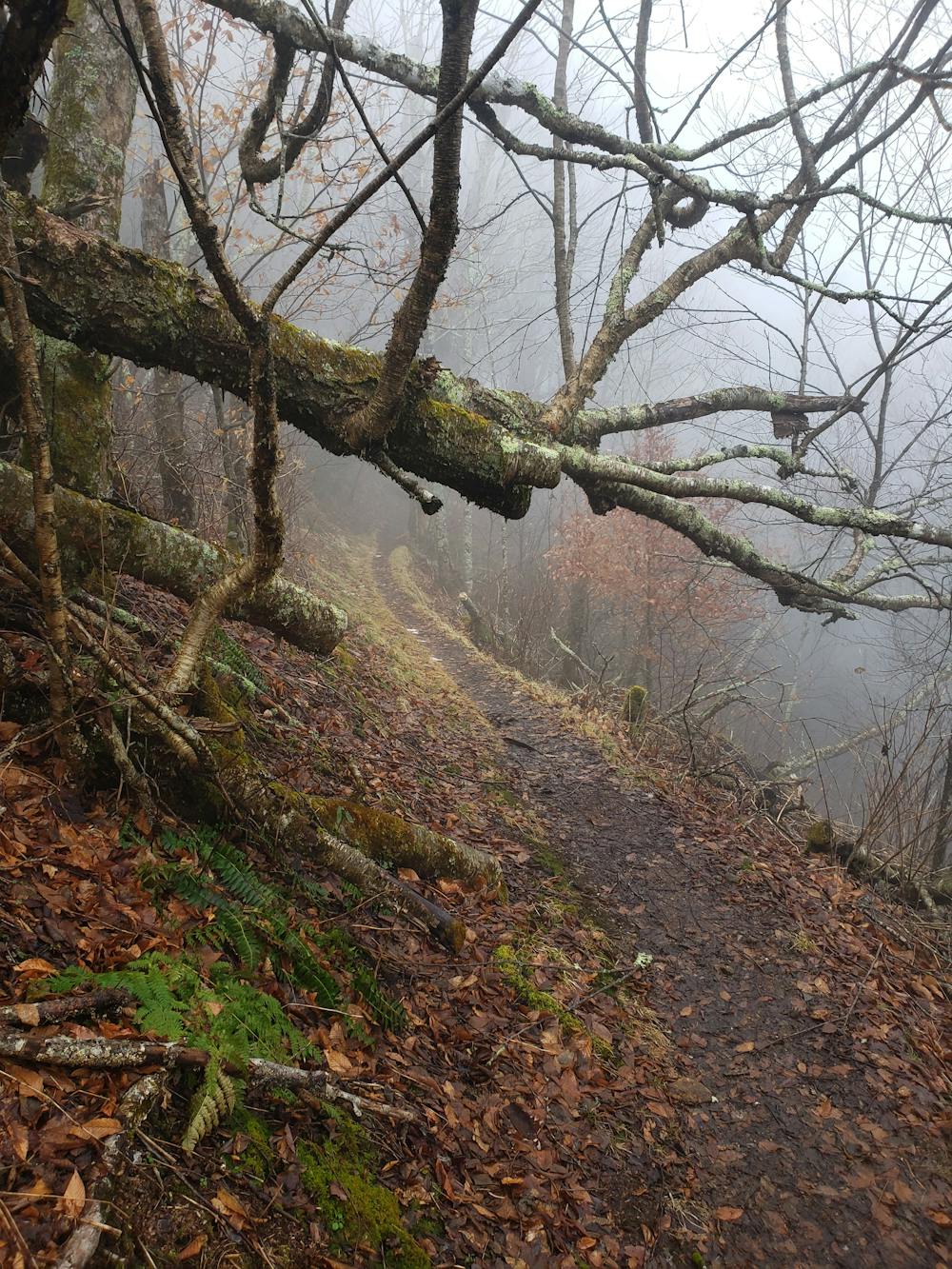
Snowball Mountain Trail is a beautiful hike that has something to offer to everyone, no matter your skill level. Accessible via the Blue Ridge Parkway (near Craggy Gardens), and Stoney Fork Road, this trail is typically visited in the spring, summer, and fall, though occasional winter access is available when the Blue Ridge Parkway is open.
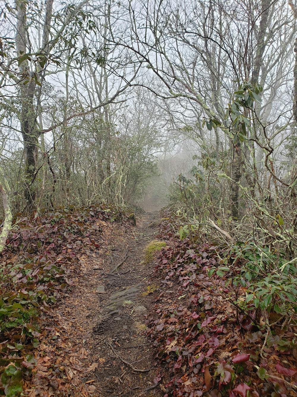
To begin the hike, look for the white-dot-blazed marker denoting the Mountains to Sea Trail (MST). You will find it at the 3-way intersection with Stony Fork Road and the access road to the Craggy Gardens Picnic Area. Follow the MST trail west for 0.1 miles to the intersection with the Snowball Mountain Trail. Around this same area, a clearing serves as a popular spot for a picnic—it's only a short hike from the road.
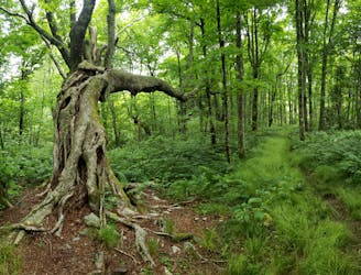
A steep climb leads to the official summit of Snowball Mountain, just above 5,300 feet. As you approach the summit, look for the rare spruce-fir stands that only occur in a few places in the southern Appalachian Mountains.
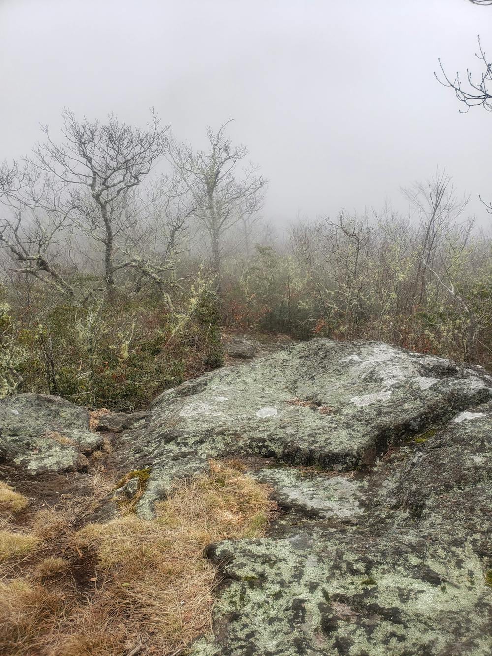
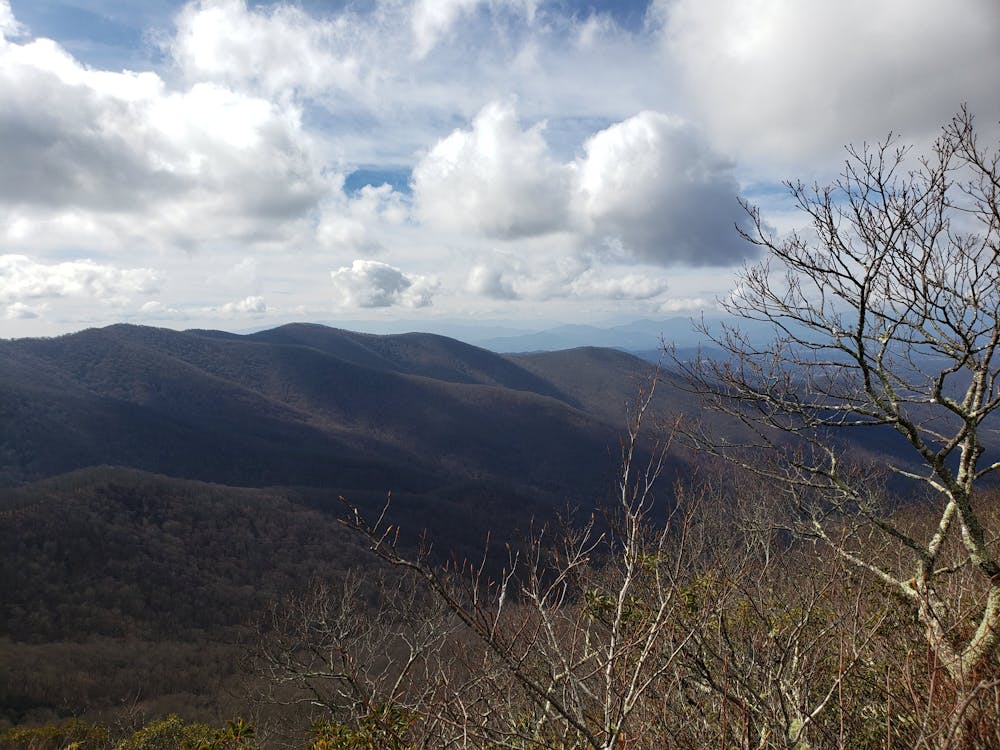
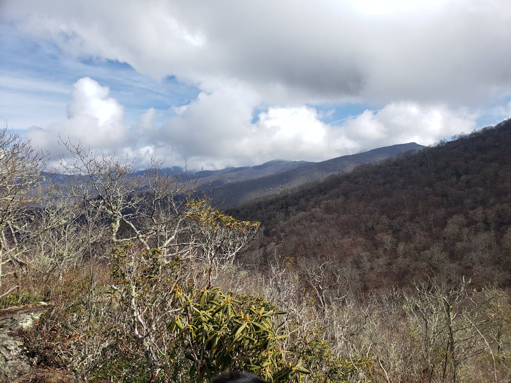
Beyond the summit, the trail heads to Hawkbill Rock, arguably the most popular destination along the trail. A large, craggy overlook gives way to phenomenal views.
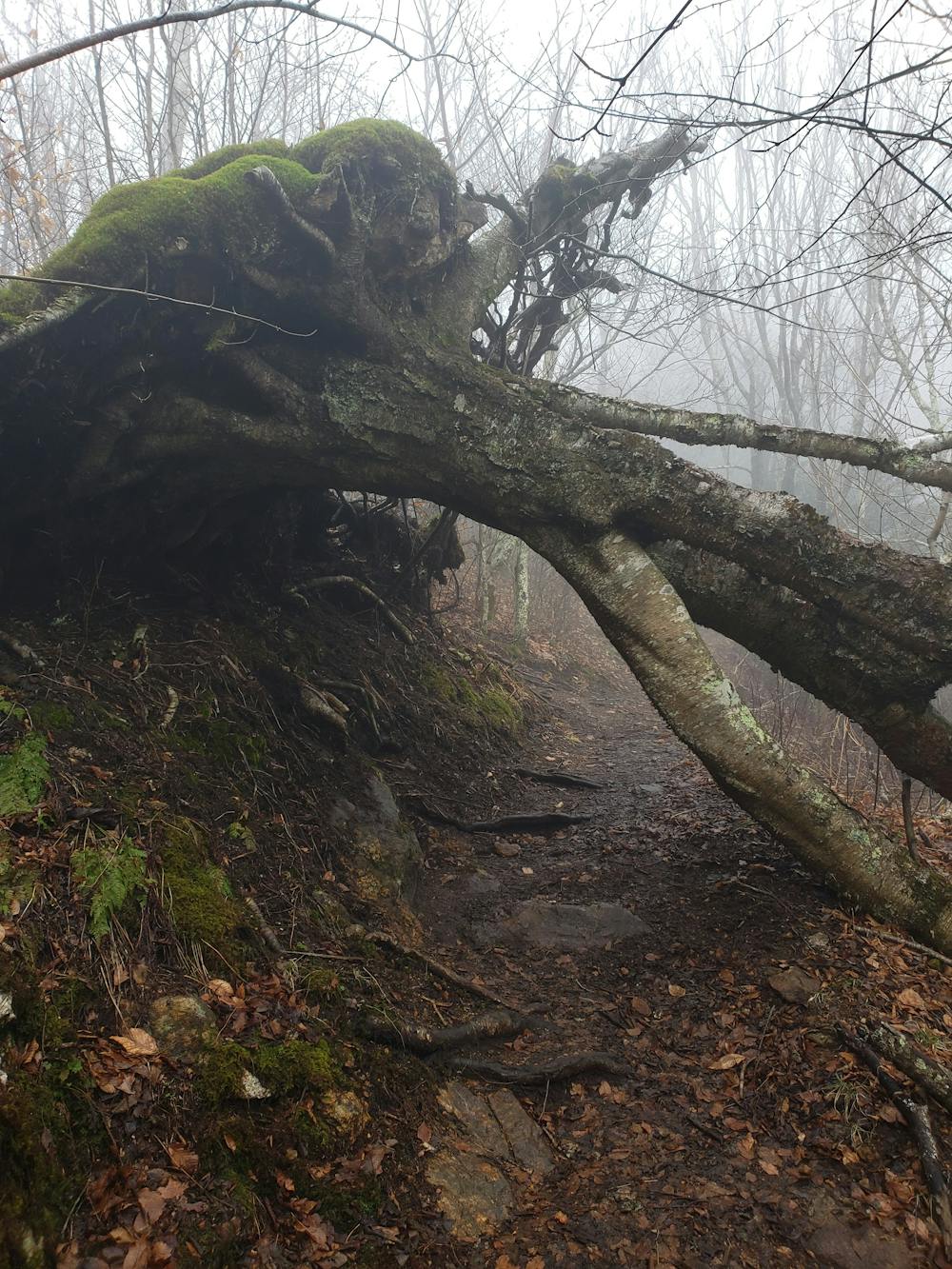
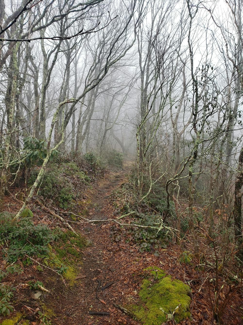
Ahead, the next stretch of trail appears wilder and more remote, as few people continue past the overlook. Singletrack eventually gives way to an old doubletrack before the trail climbs up and over Little Snowball Mountain.
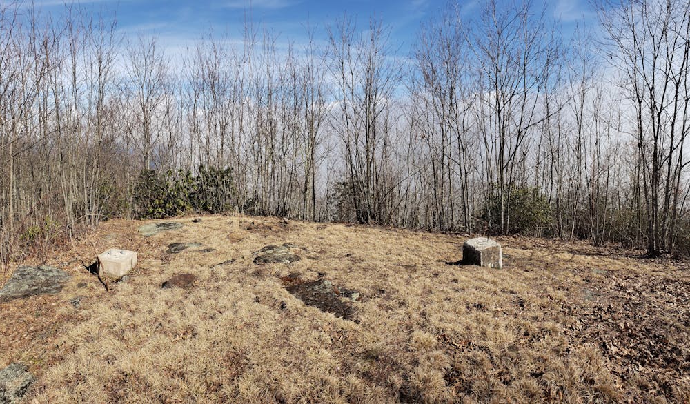
The trail terminates at the site of a former fire tower, the only remnants of which are the concrete anchors in the ground. During the fall and winter, you can snag some partial views from the clearing before turning around and retracing your steps to the trailhead.
Soures: https://www.hikewnc.info/trails/blue-ridge-parkway-section-4/snowball
Severe
Hiking challenging trails where simple scrambling, with the occasional use of the hands, is a distinct possibility. The trails are often filled with all manner of obstacles both small and large, and the hills are very steep. Obstacles and challenges are often unexpected and can be unpredictable.

Some trail sections have exposed ledges or steep ascents/descents where falling could cause serious injury.

Away from help but easily accessed.
2.3 km away
A short hike in the Great Craggy Mountains with sweeping 360-degree views.
Moderate Hiking
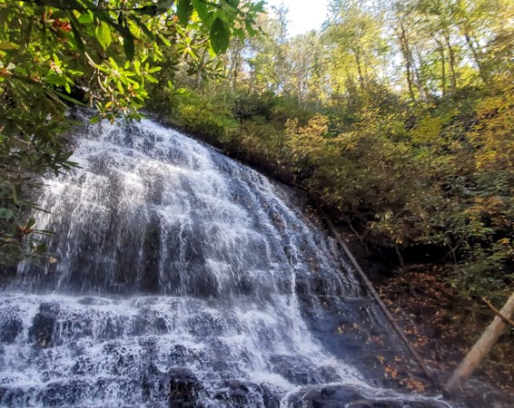
3.9 km away
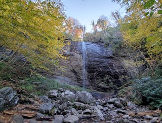
A short hike at the top of Big Ivy to a narrow and near-vertical, 70-foot waterfall.
Easy Hiking
8 km away
An epic ridgetop traverse connecting the Blue Ridge Parkway to NC-197.
Difficult Hiking

10 routes · Hiking

16 routes · Hiking

8 routes · Hiking
10 routes · Hiking