1.4 km away
Ravenel Park
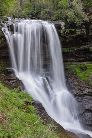
One of the best hikes to enjoy the sunrise or sunset near Highlands.
Moderate Hiking
- Distance
- 2.3 km
- Ascent
- 72 m
- Descent
- 72 m
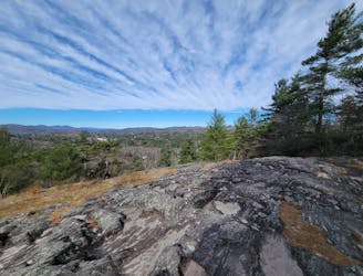
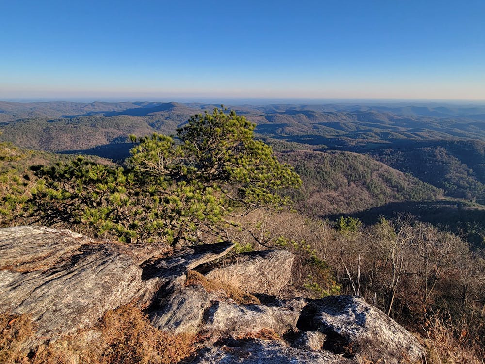
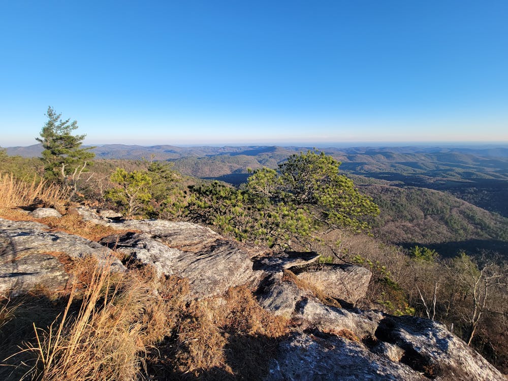
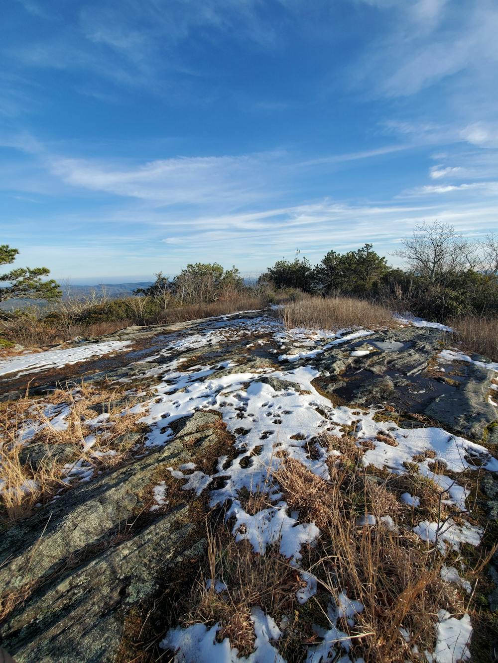
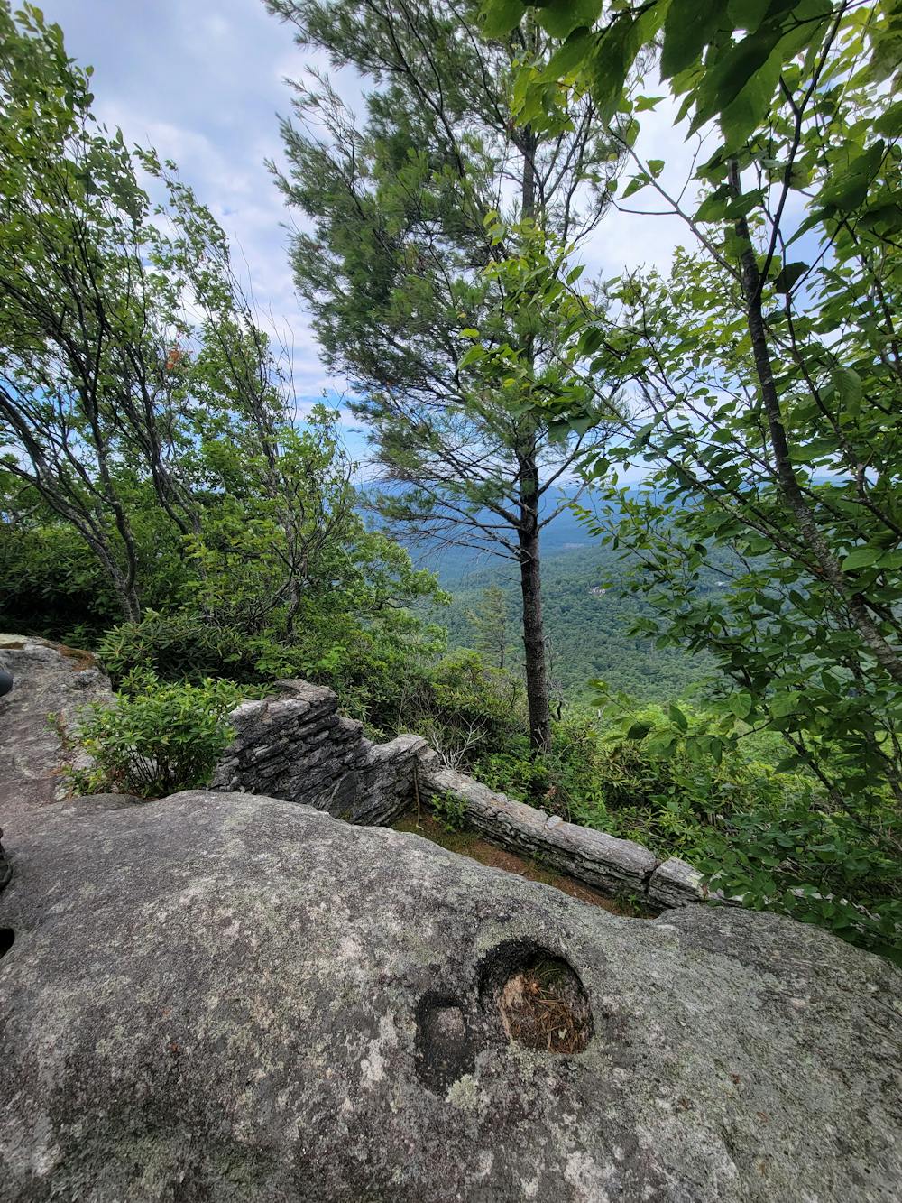
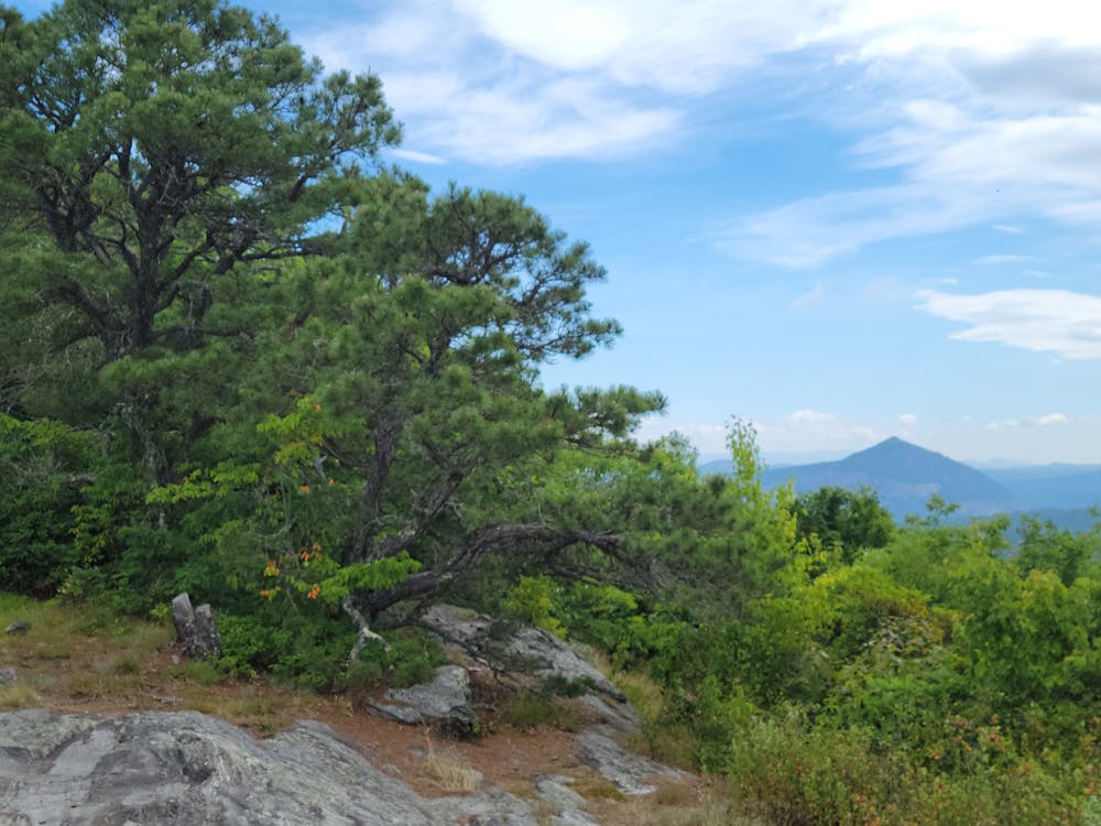
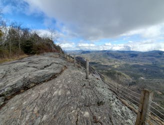
A popular summit hike in Highlands with views reaching in to NC, SC, and Georgia.
Hiking Moderate

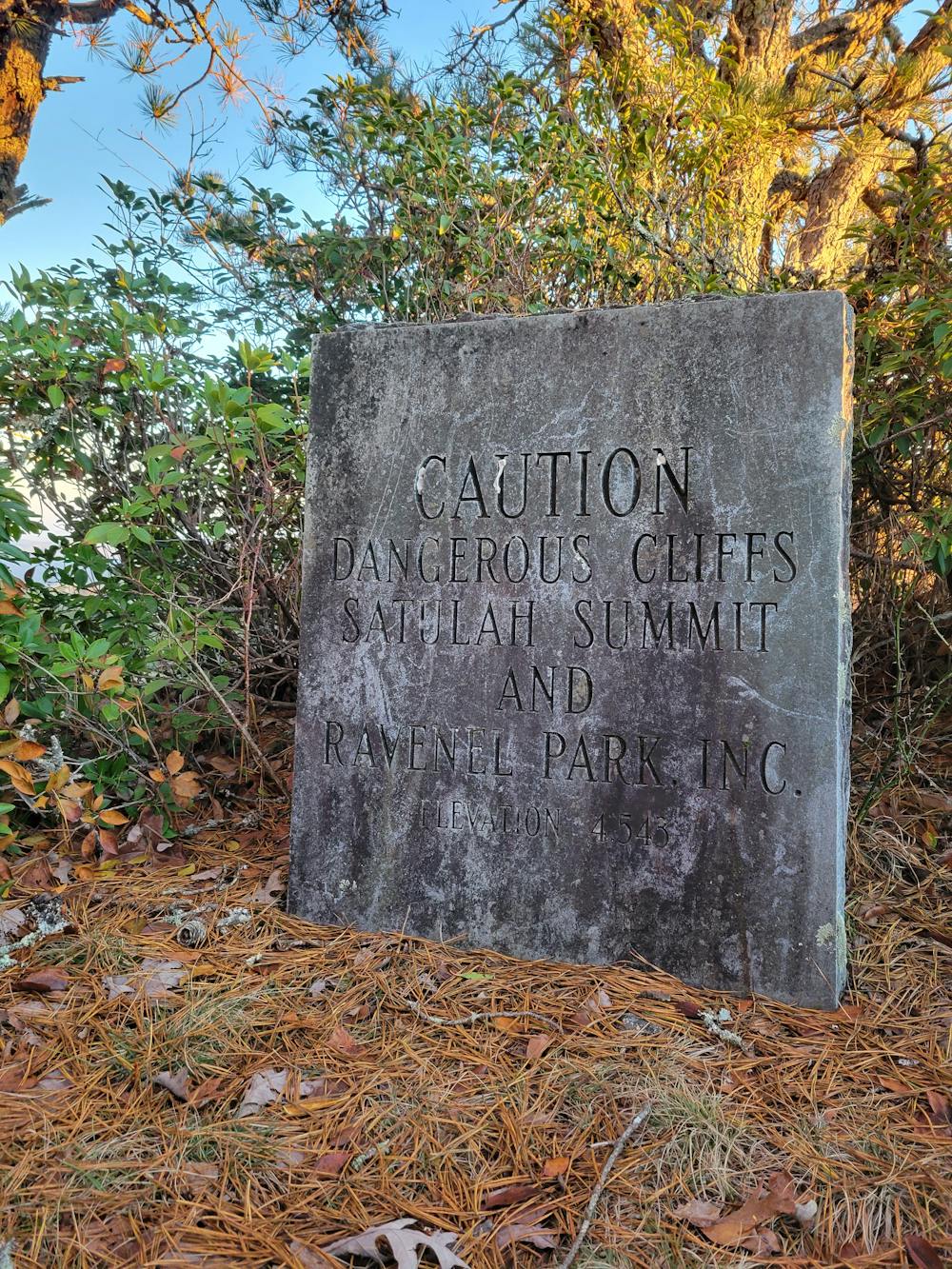
The summit of Satulah Moutnain was the first property protected by the Land Trust more than 100 years ago. In 1909 a group of concerned citizens raised $500 to conserve the summit of Satulah, ensuring it would remain in its natural state as a public park for all to enjoy in perpetuity.
This group eventually evolved into the organization we now know as Highlands-Cashiers Land Trust (HCLT). Since then, HCLT has gone on to conserve over 3,400 acres of valuable land resources in Highlands and Cashiers, including 100 acres here at Satulah Mountain Preserve.
In addition to the far-reaching views the summit has to offer, the mountaintop is also hos to several rare and endangered plants, all endemic to the area. At the trailhead, American chestnut and chinquapin saplings can be views, the latter being partially resileient to an invasive blight that killed off nearly every chestnut prior to the turn of the 20th century. By some estimates, American Chestnuts accounted for nearly 20 - 30% of our forests prior to the accidental introduction of the blight.
Other rare and unique plants on Satulah include granite dome goldenrod, Hartweg’s locust, dwarf juniper, krigia, oat grass and sphagnum moss as we look east towards Whiteside Mountain. The distinct profiles of Rock Mountain, Chimney Top and Toxaway Mountain define the foreground, while the faded peaks of the Great Balsam Mountains and the Blue Ridge Parkway can be seen amongst the blue haze in the distance.
To access the trailhead from downtown Highlands, head south on 4th Street. Turn left onto Satulah Rd. When you get to Worley Rd., turn right to stay on Satulah Rd., this will lead you to the trailhead.
Alternatively, you can continue onto Worley Rd. to stay on the paved portion. This will end in a cul-de-sac where you will see trailheads for both the Ride Trail and Old Jeep Trail, which will converge later on the trail. Unfortunately, there is no parking at any of the trail heads, meaning you should plan to hike up the road from town.
Moderate
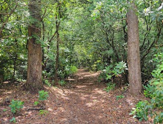
Hiking along trails with some uneven terrain and small hills. Small rocks and roots may be present.

The trail contains some obstacles such as outcroppings and rock which could cause injury.
Away from help but easily accessed.
1.4 km away
One of the best hikes to enjoy the sunrise or sunset near Highlands.
Moderate Hiking
3.2 km away
A quiet trail network near Highlands with a small pond and tons of wildflowers to explore.
Moderate Hiking
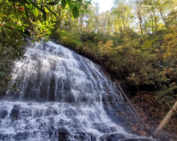
5.1 km away
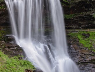
A short walk to an impressive waterfall you can walk behind!
Easy Hiking
5.9 km away
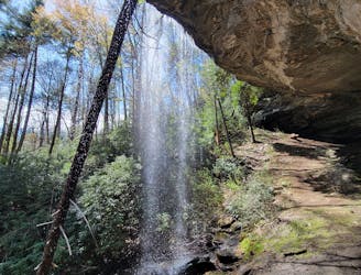
A stunning waterfall in Blue Valley with a massive rock "house" you can explore behind the falls.
Easy Hiking
6.4 km away
A classic hike between Highlands and Cashiers with far-reaching views over NC, SC, and GA.
Moderate Hiking
5 routes · Hiking
10 routes · Hiking