3.3 km away
Dixon Woods
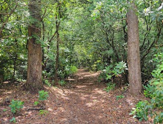
A quiet trail network near Highlands with a small pond and tons of wildflowers to explore.
Moderate Hiking
- Distance
- 717 m
- Ascent
- 7 m
- Descent
- 7 m
A classic hike between Highlands and Cashiers with far-reaching views over NC, SC, and GA.
Hiking Moderate

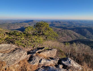
Whiteside Mountain is arguably the most popular overlook hike along the Highlands-Cashiers Plateau. With views extending as far as South Carolina and Georgia, this hike wanders along the edge of 1,500' granite cliffs lined with fencing, rails, and informational placards.
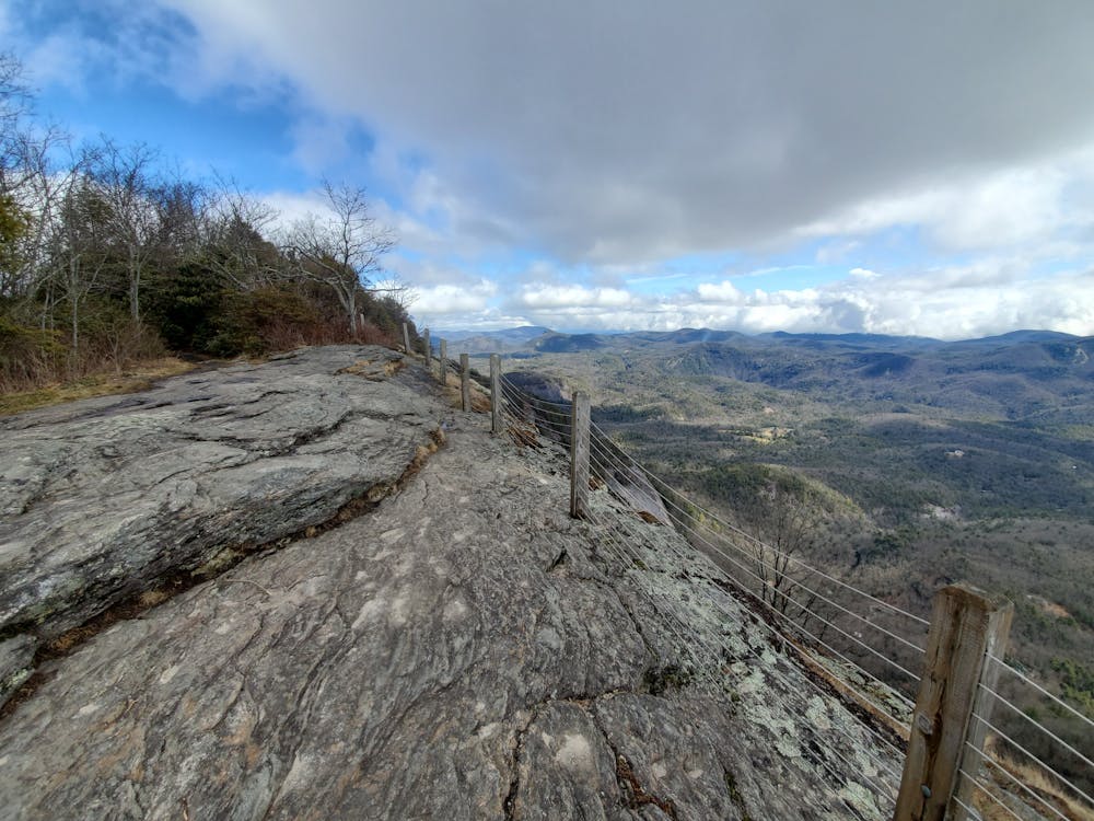
While family-friendly as a whole, parents should keep close watch over younger children due to the height of the cliffs. While the trail is listed as dog-friendly, on a busier day, you may opt to keep yours at home for the same reasons listed above.
The hike is best enjoyed clockwise, which begins with a steady walk up an old gravel road, then returning along the cliff. A carving at the mountain's highest point is an excellent place to snag a photo, just remember to look up and enjoy the view!
There is a small parking fee to enjoy Whiteside, so plan to bring cash. There is also cell reception at the trailhead, so don't worry about being out of reach from work or family if that is important to you.
Moderate
Hiking along trails with some uneven terrain and small hills. Small rocks and roots may be present.

Some trail sections have exposed ledges or steep ascents/descents where falling could cause serious injury.

Away from help but easily accessed.
3.3 km away
A quiet trail network near Highlands with a small pond and tons of wildflowers to explore.
Moderate Hiking
5.1 km away
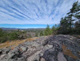
One of the best hikes to enjoy the sunrise or sunset near Highlands.
Moderate Hiking
6.4 km away
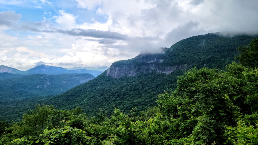
A popular summit hike in Highlands with views reaching in to NC, SC, and Georgia.
Moderate Hiking
7.2 km away

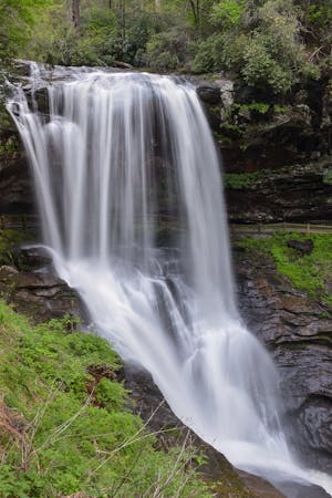
A short, family-friendly waterfall hike less than 10 minutes from Cashiers.
Easy Hiking
8.7 km away
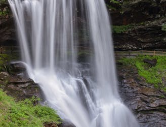
A short walk to an impressive waterfall you can walk behind!
Easy Hiking
5 routes · Hiking