4.5 km away
Ridgeline Trail

The Ridgeline Flow Trail is now one of the most renowned flow trails in the country.
Moderate Mountain Biking
- Distance
- 7.7 km
- Ascent
- 198 m
- Descent
- 198 m
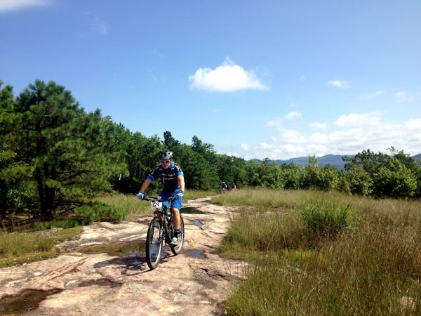
Experience Dupont's famous slickrock balds in the most efficient way possible.
Mountain Biking Severe

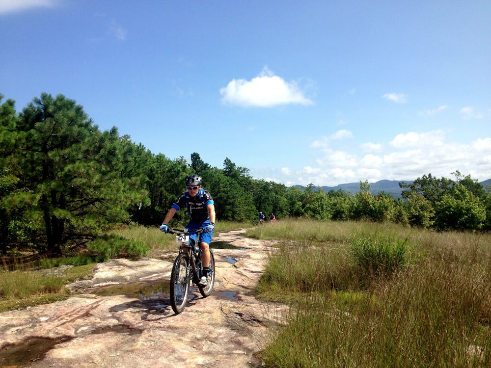
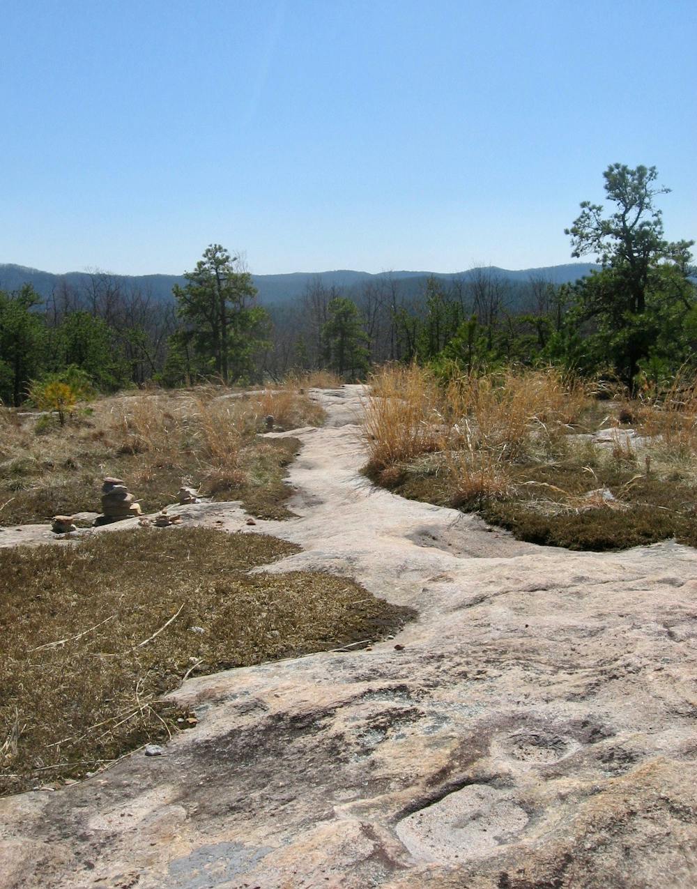
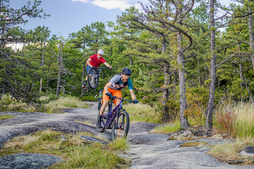
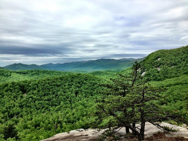
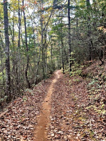
Dupont State Forest is a massive 10,400-acre forest just outside of Brevard, North Carolina that has become one of the most popular and highly-acclaimed trail systems in the United States. Dupont is probably best-known for two things: its gorgeous waterfalls and the iconic slickrock balds with views of the entire region, which this route visits. The slickrock balds are reminiscent of riding the renowned Slickrock Trail in Moab, but with an East Coast flavor… and on a mountainside slant! Some riders could easily spend all day sessioning these otherworldly trails. In fact, the route shown here is the best way to maximize the slickrock experience in one ride.
Dupont is located right next door to the famous Pisgah National Forest, but it's important to note that Dupont is distinct from Pisgah. For riders coming to the Brevard area, it's useful to think of Dupont as "Pisgah Lite." While most of the trails here aren't easy, some of them are very beginner friendly and flowy, and the more difficult trails will entertain advanced-level mountain bikers—all without being as gnarly or as intimidating as the Pisgah National Forest.
The slickrock balds make up some of the more challenging trails in the area. While all of the features can easily be rolled, the climbs to the top are steep and the hard and steep surface means that riders’ speeds can quickly soar.
This route also includes the Burnt Mountain loop. If you wish for a shorter ride, it can easily be bypassed by turning left instead of right at the bottom of the Cedar Rock descent, but for advanced riders looking for a challenge Burnt Mountain’s technical singletrack—in a more classic sense—is an excellent accent to the riding on Cedar Rock.
Sources: http://www.pisgahareasorba.org/meetup-rides/trail-locations-maps-info/dupont-state-forest/ http://www.pisgahareasorba.org/2010/04/burnt-mountain-the-long-way-revised/
Severe
Widely variable, narrow trail tread with steeper grades and unavoidable obstacles of 15in/38cm tall or less. Obstacles may include unavoidable bridges 24in/61cm wide or less, large rocks, gravel, difficult root sections, and more. Ideal for advanced-level riders.

Some trail sections are extremely exposed where falling will almost certainly result in serious injury or death.

Little chance of being seen or helped in case of an accident.
4.5 km away
The Ridgeline Flow Trail is now one of the most renowned flow trails in the country.
Moderate Mountain Biking
6.3 km away

This IMBA Epic route through Dupont State Forest is undoubtedly epic in length—not for the faint of heart!
Difficult Mountain Biking
9 routes · Mountain Biking

25 routes · Mountain Biking

10 routes · Mountain Biking
3 routes · Mountain Biking
3 routes · Mountain Biking