1.9 km away
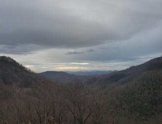
Lookout Mountain Loop
A scenic, yet demanding, trail run to some of the best views in Montreat.
Difficult Trail Running
- Distance
- 6.4 km
- Ascent
- 383 m
- Descent
- 383 m
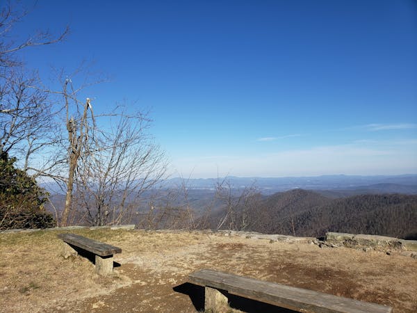
The Grand Tour of Montreat Peaks
Trail Running Difficult

This route is essentially the same one used in the Seven Sisters race with the start/end point moved to the Montreat gates.
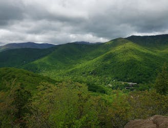
The climb up Rainbow Mountain is challenging right off the bat. Trekking poles can be helpful in this section. Once you top out, the trail mellows out for a stretch before getting to Lookout Rocks. This area has many trail intersections, but is generally well marked. You can't go wrong by always picking the trail that goes steeply uphill!
Once past Lookout, you get to go up and over Boggs Bunion, Brushy and Rocky Head with lots of steep up and down. A more moderate version of this section would follow the Old Toll Road to the East of the peaks.
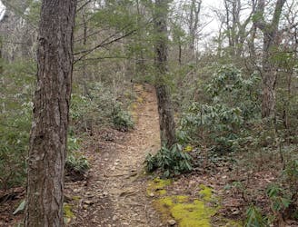
Past the Rocky Head descent, the trail mellows again - although this section can often be running ankle deep after heavy rains. Conditions will improve after you join up with the Greybeard trail. This bit up to Walker's Knob is some of the best running trail in the area.
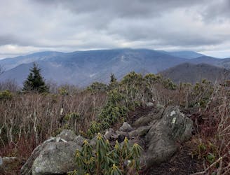
You will pass the West Ridge intersection on the way to tag the Greybeard summit, optional of course. The view from Walker Knob is the best IMHO. The West Ridge descent is tricky to follow, overgrown, technical and really fun. You will NOT see people on this stretch until you hit Big Piney. Carry your cellphone.
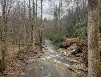
One last steep drop from Little Piney puts you back on the road, but it is just a short stretch of pavement to get back to the gate and your car.
Difficult

The trail contains some obstacles such as outcroppings and rock which could cause injury.

Close to help in case of emergency.
1.9 km away
A scenic, yet demanding, trail run to some of the best views in Montreat.
Difficult Trail Running
2.7 km away
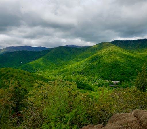
A must-do trail run in the Montreat Wilderness.
Difficult Trail Running
6 km away
A punishing out-and-back trail run to the Blue Ridge Parkway with killer views along the way..
Severe Trail Running
7.8 km away
A quick run to one of North Carolina's best waterfalls.
Easy Trail Running
8.3 km away
A local favorite trail running loop with epic views and easy access from town.
Difficult Trail Running
12 routes · Trail Running
6 routes · Trail Running