7.1 km away
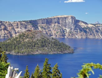
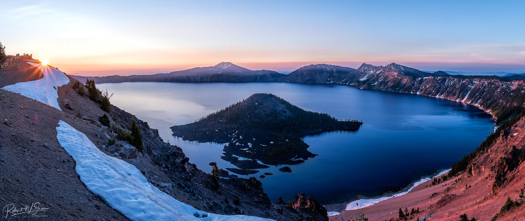
Mount Scott
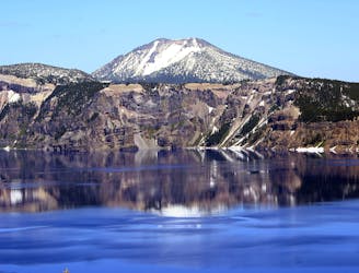
Panoramic hike to the highest point in the national park, and a phenomenal view over Crater Lake.
Difficult Hiking
- Distance
- 6.9 km
- Ascent
- 392 m
- Descent
- 392 m
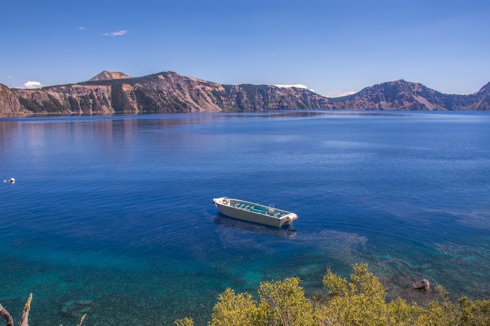
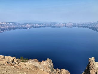
The only way to reach the waters of Crater Lake.
Hiking Moderate

The only way to actually reach the waters of Crater Lake is via this short two-mile round-trip hike. While the hike isn't long, you'll descend a steep 610 vertical feet (according to FATMAP, 700 vertical according to some other sources) in the one-mile walk down to the lakeshore. This means you're in for a steep climb to get back up to the Crater's Rim. Only descend to the water's edge if you're confident you can make it back up!
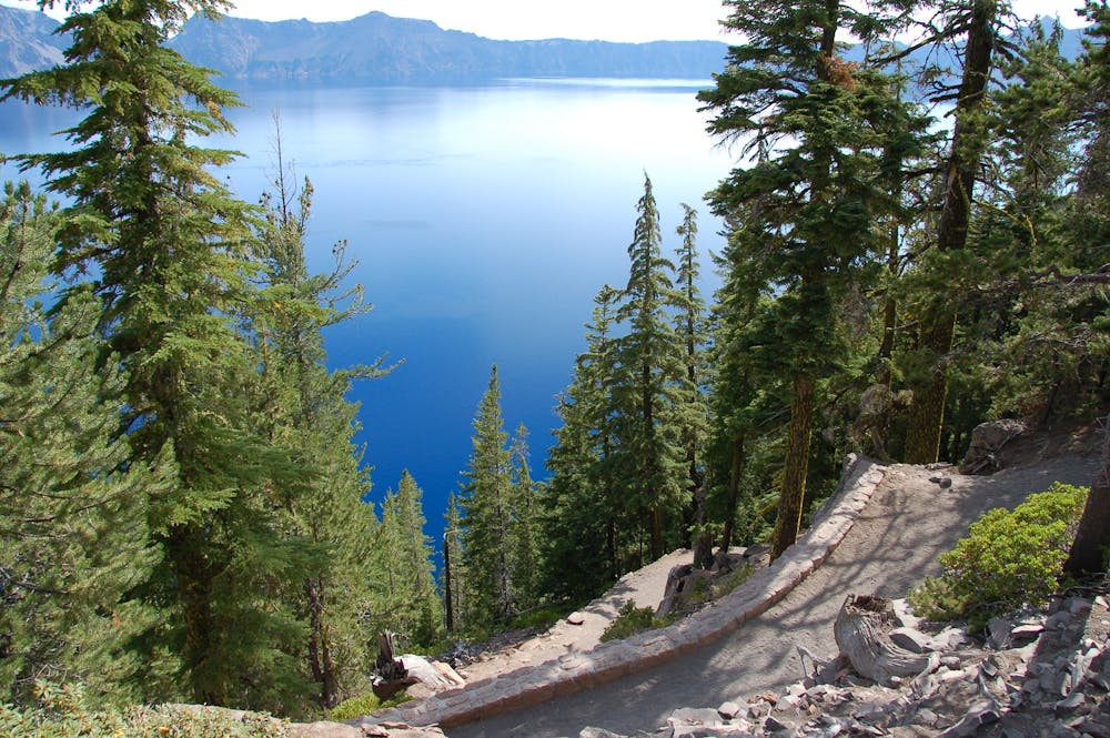
The trail leading down to the lake switchbacks several times on its way down the steep side of the crater. While dusty, the trail is well-maintained due to its popularity. While you won't encounter any technical trail challenges along this hike, the steep climb back up to the rim might challenge some people physically. But if you need a break on the climb back up, you can make use of a number of benches that have been installed along the trail.
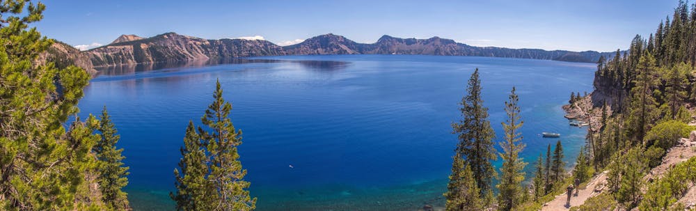
For those that do reach the water, you'll be able to swim in the crystal clear waters of the deepest lake in the United States, and one of the most beautiful lakes in the world! You'll also spot some inviting cliffs along the edge for jumping into the deeps.
If you want to take the boat tour to Wizard Island and maybe even hike to the top of the Island's cone, you'll use this hike to reach the shores of the lake and the boat that will take you to Wizard Island.
Sources: https://nomanbefore.com/cleetwood-cove-trail-crater-lake-oregon/ https://www.outdoorproject.com/united-states/oregon/cleetwood-cove-trail
Moderate
Hiking along trails with some uneven terrain and small hills. Small rocks and roots may be present.

The path is on completely flat land and potential injury is limited to falling over.
Close to help in case of emergency.
7.1 km away
Panoramic hike to the highest point in the national park, and a phenomenal view over Crater Lake.
Difficult Hiking
7.4 km away
One of the most beautiful but logistically difficult to reach points in Crater Lake National Park.
Severe Hiking
9.1 km away
Climb to a stunning overlook of Crater Lake.
Difficult Hiking
10 routes · Alpine Climbing · Hiking
6 routes · Hiking

52 routes · Mountain Biking · Freeride Skiing · Gravel Biking · Hiking · Road Biking

63 routes · Alpine Climbing · Hiking