7.1 km away
Cleetwood Cove
The only way to reach the waters of Crater Lake.
Moderate Hiking
- Distance
- 3.3 km
- Ascent
- 186 m
- Descent
- 186 m
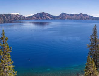
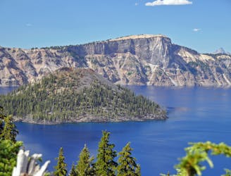
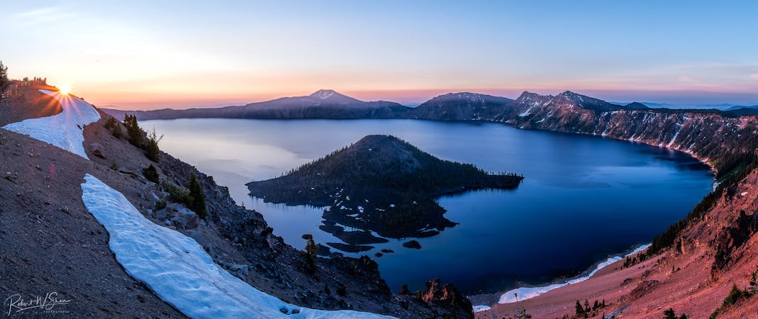
Panoramic hike to the highest point in the national park, and a phenomenal view over Crater Lake.
Hiking Difficult

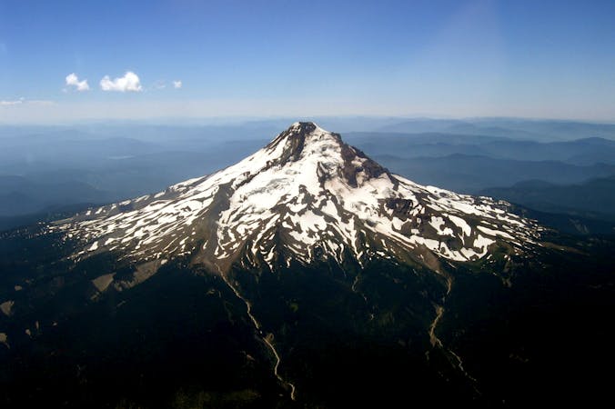
Mount Scott is the highest peak in Crater Lake National Park, rising to 8,929 feet elevation. Its summit provides perhaps the best view you can get over the lake, plus a panorama of mountains and forest across Oregon. The trail climbs rather steeply and with some rocky sections, but with switchbacks that leave the grade quite manageable. The Park Service recommends this hike in the morning, “when the light is ideal for lake viewing.” Getting an early start could also earn some solitude on this highly popular trail.
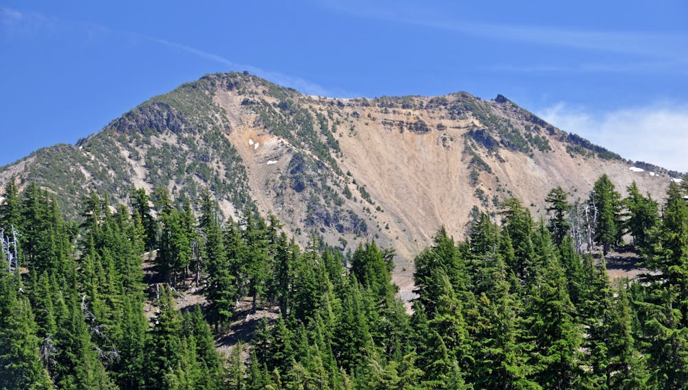
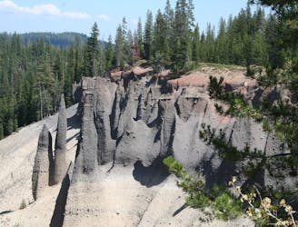
The trail rises along slopes of volcanic gravel called pumice, and through many rock outcrops. Much of the ground is bare, but vegetation takes hold where it can. Hardy pines grow here and there, and sometimes in dense stands. Patches of grass fleck the gray dirt, and summer wildflowers add color to the mix. Views over the landscape are frequent throughout the hike, and they only get better going up.
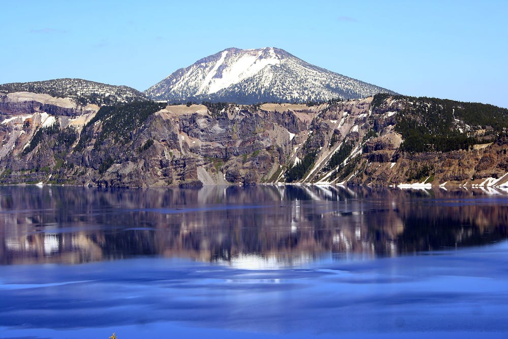
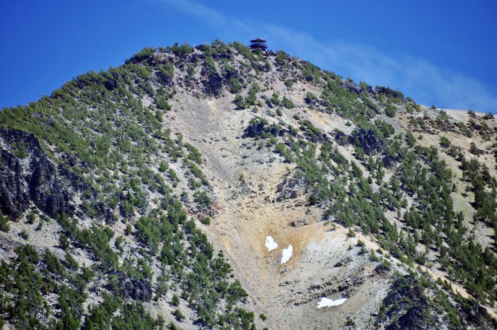
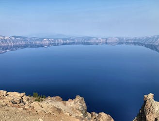
The final stretch is particularly dramatic, as the trail follows the crest of Mount Scott’s ridgeline with slopes falling away on either side. Dead ahead is the lookout tower which marks the summit. The building is closed to the public, but beside it you’ll enjoy the same vantage as the personnel who watch for wildfires from within. Crater Lake lies nearly 1000 feet below, and from here it’s deep blue looks even more profound.
Note that this trail has a limited season. The Park Service typically closes it with the first significant snowfall, and doesn't usually reopen until early or mid July.
Sources: https://www.nps.gov/crla/learn/news/newspaper.htm https://oregonwild.org/mt-scott
Difficult
Hiking trails where obstacles such as rocks or roots are prevalent. Some obstacles can require care to step over or around. At times, the trail can be worn and eroded. The grade of the trail is generally quite steep, and can often lead to strenuous hiking.

The trail contains some obstacles such as outcroppings and rock which could cause injury.
Away from help but easily accessed.
7.1 km away
The only way to reach the waters of Crater Lake.
Moderate Hiking
9 km away
Head off the beaten path in Crater Lake National Park.
Easy Hiking
9.3 km away
Climb to a stunning overlook of Crater Lake.
Difficult Hiking
9.8 km away
One of the most beautiful but logistically difficult to reach points in Crater Lake National Park.
Severe Hiking
10 routes · Alpine Climbing · Hiking
6 routes · Hiking

52 routes · Mountain Biking · Freeride Skiing · Gravel Biking · Hiking · Road Biking

63 routes · Alpine Climbing · Hiking