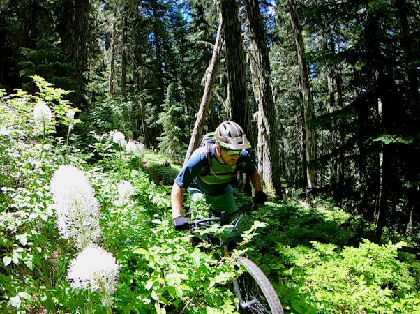
Alpine Trail
Known as the "crown jewel" of Oakridge, the Alpine Trail easily ranks among the best shuttle routes in the world.
Difficult Mountain Biking
- Distance
- 26 km
- Ascent
- 769 m
- Descent
- 1.6 km
A backcountry point-to-point ride of epic proportions.
Mountain Biking Difficult

The ATCA ride serves up a longer, more arduous variant of the classic Alpine Trail shuttle. If Alpine just isn't enough to satisfy your appetite for singletrack, try on the ATCA for size!
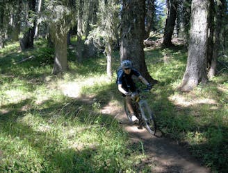
The route begins high in the mountains above Oakridge after a long shuttle up a dirt road. A mellow climb greets riders departing the trailhead, with the singletrack snaking beneath towering trees.
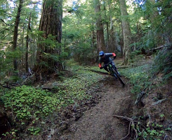
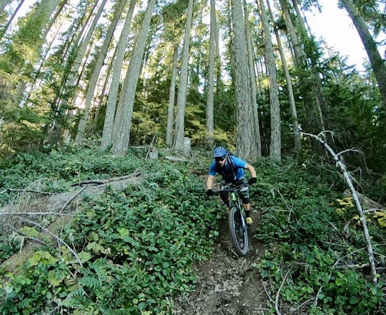
Once the trail starts heading down, it descends with a vengeance! While the grade isn't super steep, the flow of the trail and relatively straight sightlines allow riders to amp up the speed, the massive Douglas Firs whizzing past in a blur of brown and green.
Thanks to the lush Pacific Northwest vegetation, the trail tread is filled with dark dirt that provides traction for days, only helping riders max out the speed. As you'd expect, tangles of tree roots cross the trail.
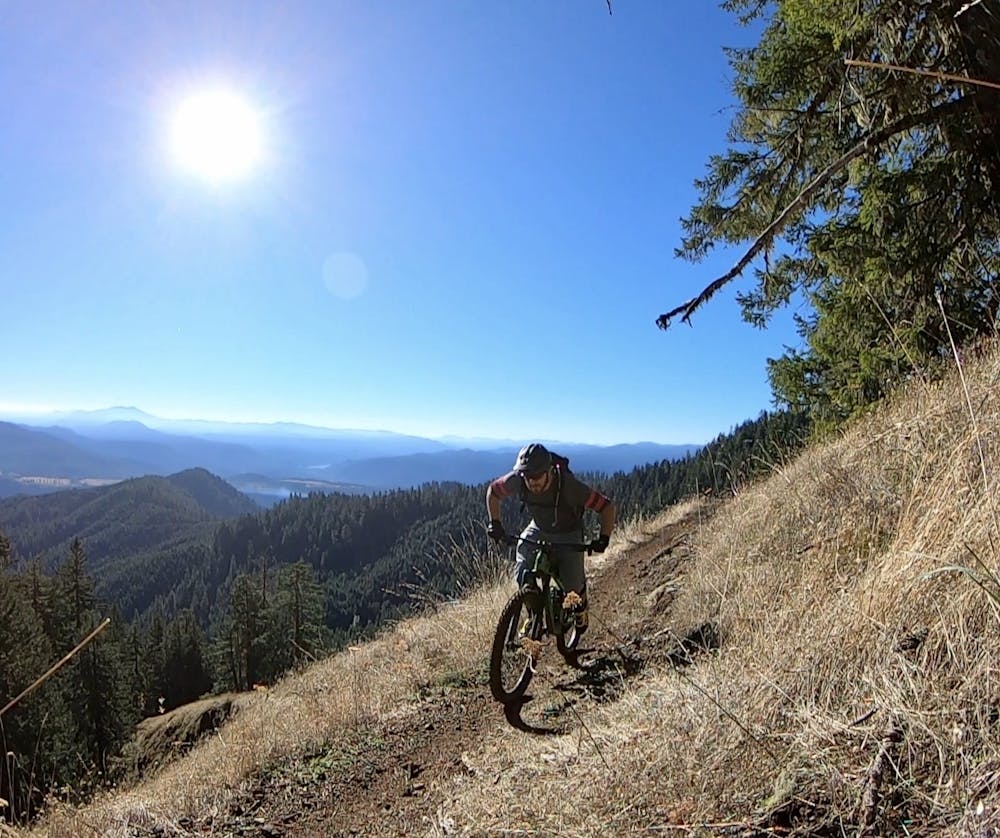
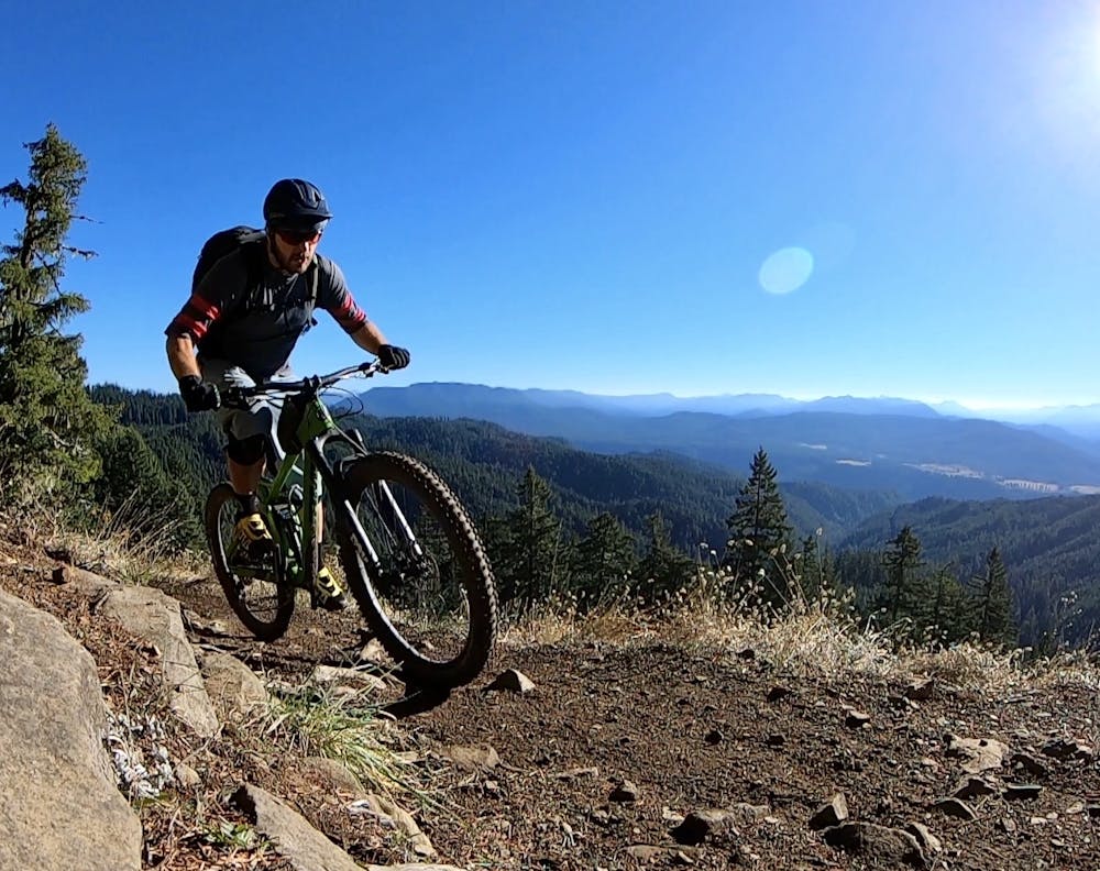
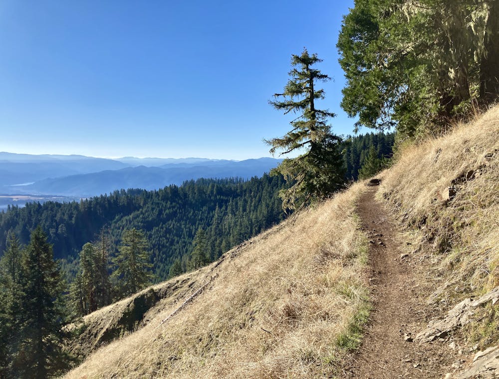
After crossing the classic exposed section of singletrack offering up long-range views, keep your eyes peeled for the turn off onto Tire Mountain. The Tire Mountain turn off is marked but not well, so ride alert.
After turning onto Tire Mountain, you'll be faced with a few punchy climbs before a steep, fast descent down to the junction with Cloverpatch. Be sure to take some time to enjoy the views, as Tire Mountain is "one of the most stunning trails near Oakridge," according to HikeOregon.net.
Cloverpatch delivers a proper punch-to-the-gut with a steep climb to reach the high point, followed by another steep descent down to Tire Creek Road.
After pedaling along Tire Creek Road, consider whether you have enough fuel in the tank for a 1,500-foot climb, because that's what you're facing next. You'll have to labor your way up the road and the Cloverpatch Tie Trail to regain the Alpine Trail and complete the classic descent. If you don't think you can make it, you can bail out down Tire Creek Road... but you will have to pedal quite a few miles of flat road to return to Westfir.
If you do manage to regain the Alpine Trail, you'll enjoy the final section of high-speed descending on dark dirt with wide-open sightlines—an appropriate reward for that brutal climb you just completed!
Was 5,000 feet of climbing and 7,700 feet of descending still not enough for you? Then skip the shuttle and pedal your way up the mountain, you masochist.
Difficult
Mostly stable trail tread with some variability featuring larger and more unavoidable obstacles that may include, but not be limited to: bigger stones, roots, steps, and narrow curves. Compared to lower intermediate, technical difficulty is more advanced and grades of slopes are steeper. Ideal for upper intermediate riders.

The trail contains some obstacles such as outcroppings and rock which could cause injury.

In the high mountains or remote conditions, all individuals must be completely autonomous in every situation.
Known as the "crown jewel" of Oakridge, the Alpine Trail easily ranks among the best shuttle routes in the world.
Difficult Mountain Biking

25 routes · Mountain Biking

16 routes · Mountain Biking

10 routes · Mountain Biking
5 routes · Mountain Biking
10 routes · Mountain Biking
6 routes · Mountain Biking

15 routes · Mountain Biking