MERA: North Knob -> Dead Bull Moto Loop
A ripping loop on the moto side of the mountain.
Difficult Mountain Biking
- Distance
- 12 km
- Ascent
- 395 m
- Descent
- 395 m
Singletrack gems on the moto legal side of MERA.
Mountain Biking Difficult

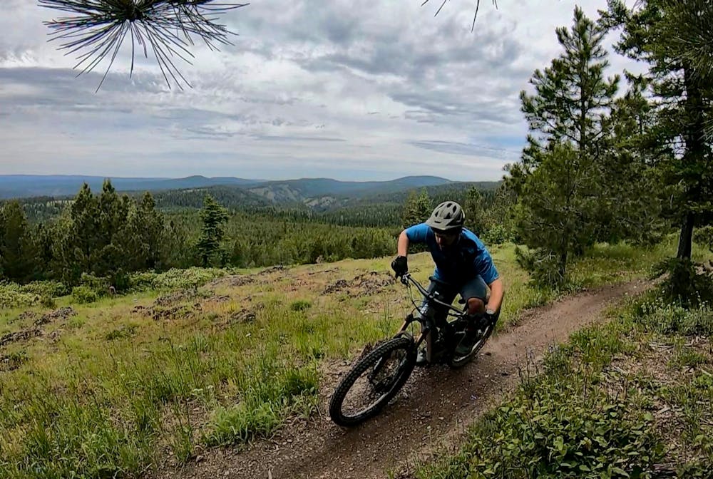
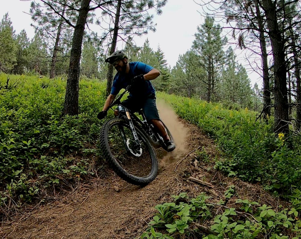
The Mount Emily Recreation Area is split into two halves: the motorized half and the non-motorized half. However, there’s no reason that non-motorized bikes can’t venture onto the moto-legal half of the trail system. In fact, the dirt bike trails on the western side of the mountain offer some incredible routes for mountain biking!
The loop mapped here is one of two short, recommended loops for mountain biking on the moto side of the mountain. Both of the loops begin high up in the national forest on Fox Hill Road. Ride both of them in a big figure-8 for a decent-length mountain bike ride, or, for a truly big day in the mountains, ride up from the non-motorized side of the mountain, down the moto side, then back up and over to where you began.
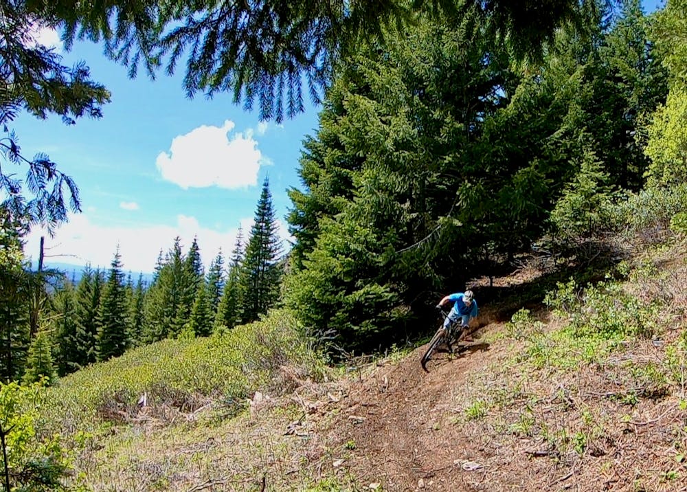
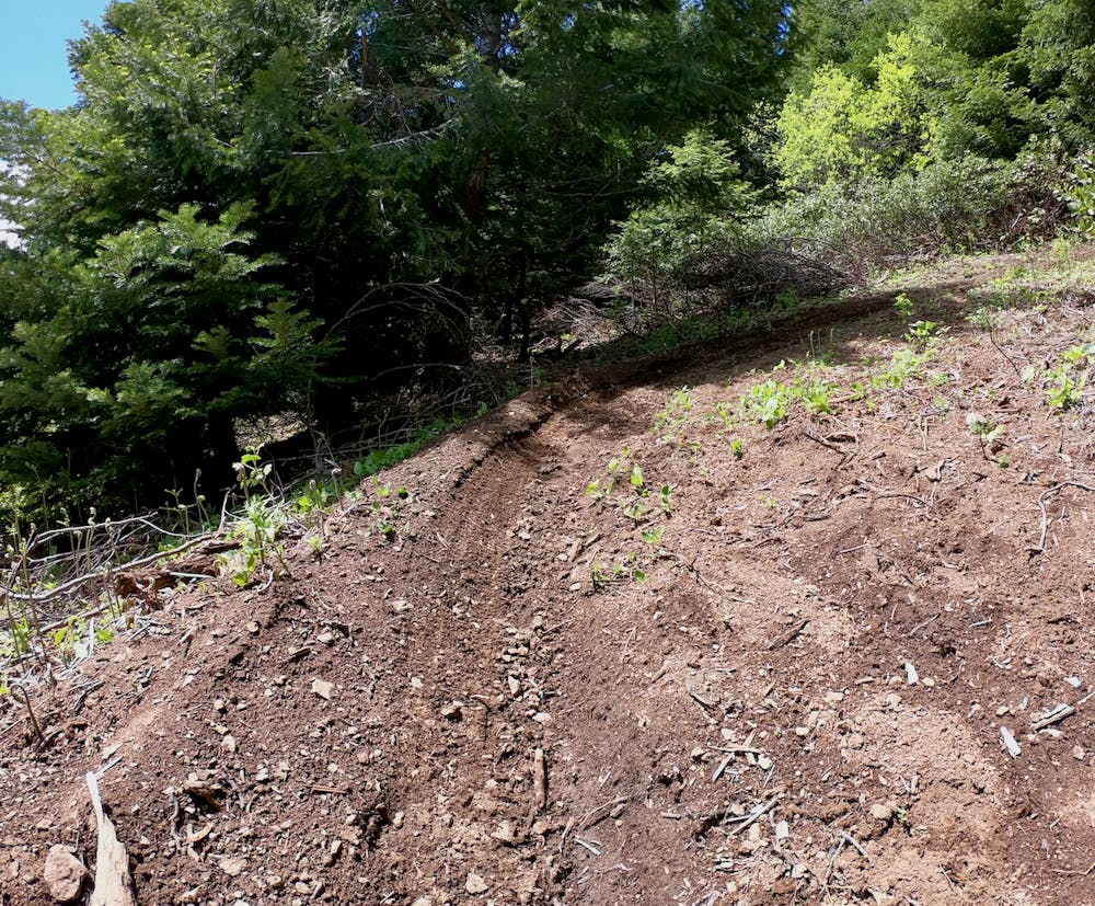
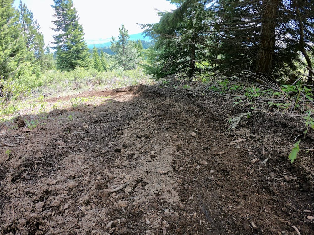
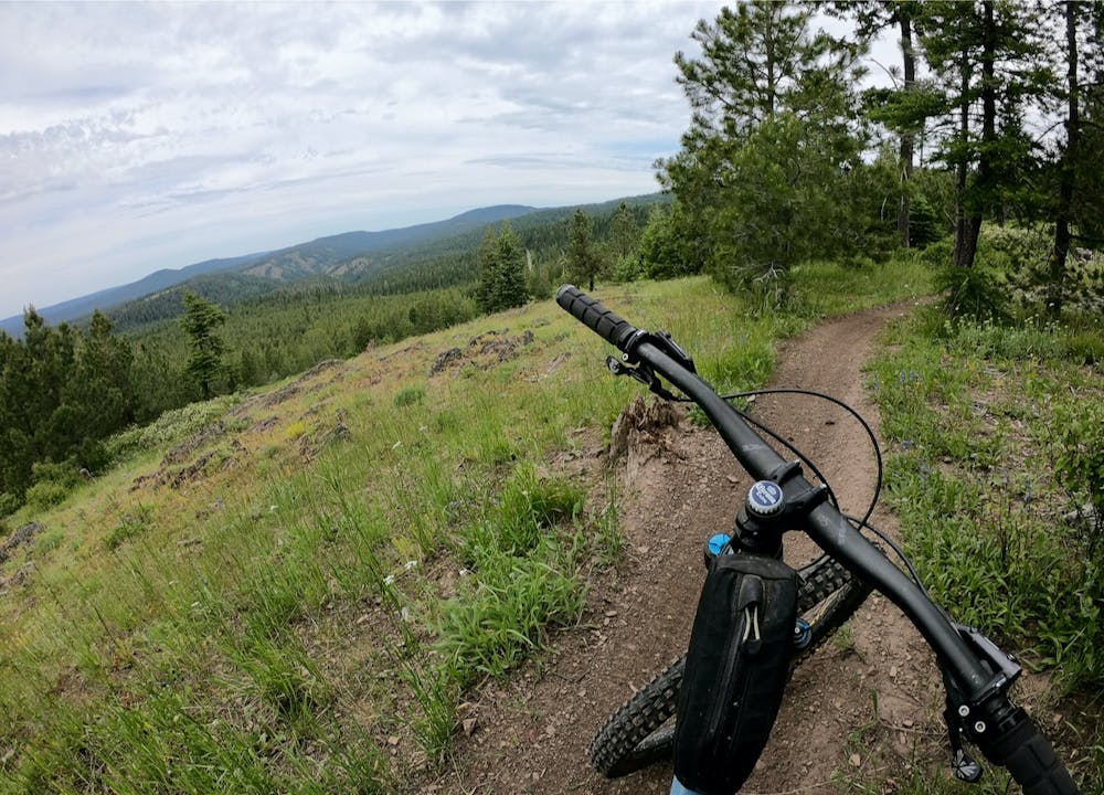
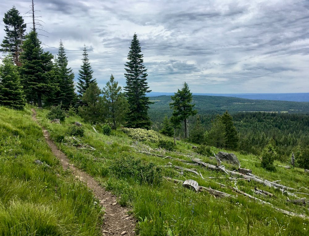
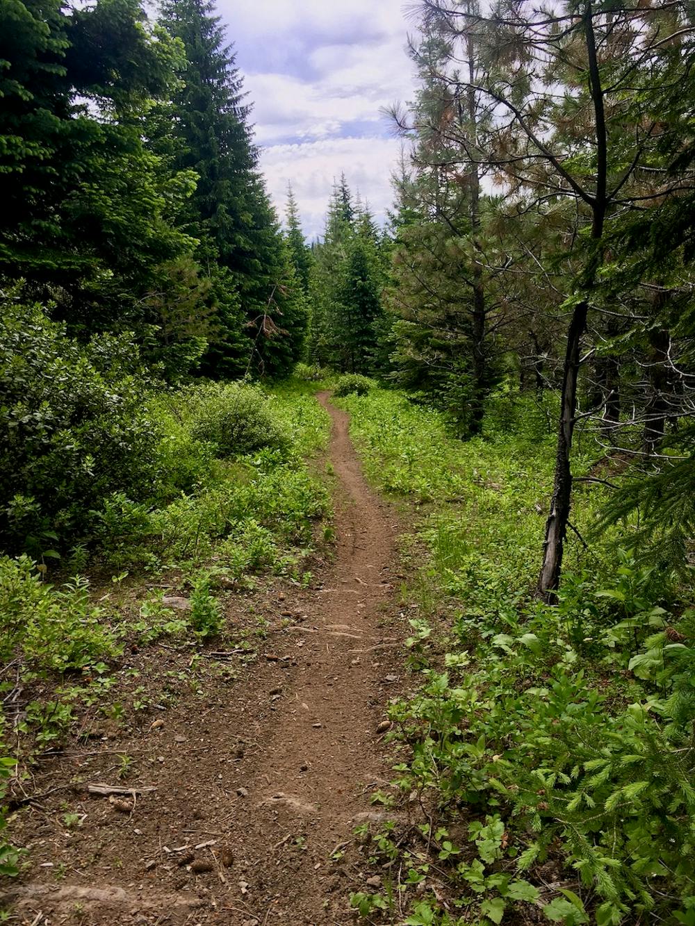
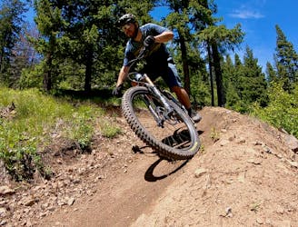
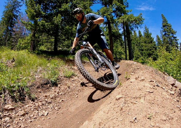
The route mapped here runs to the top of the North Knob and descends Dead Bull to the Fenceline Trail, and finishes on the Snag Trail. Fenceline is a gem of a trail, with stunning views of the valley below and a couple of entertaining rock drops and techy features. These may be the most technical rock features in the entire Mount Emily Recreation Area, but they still aren’t enough to earn this ride a “Severe” difficulty rating.
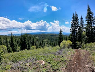
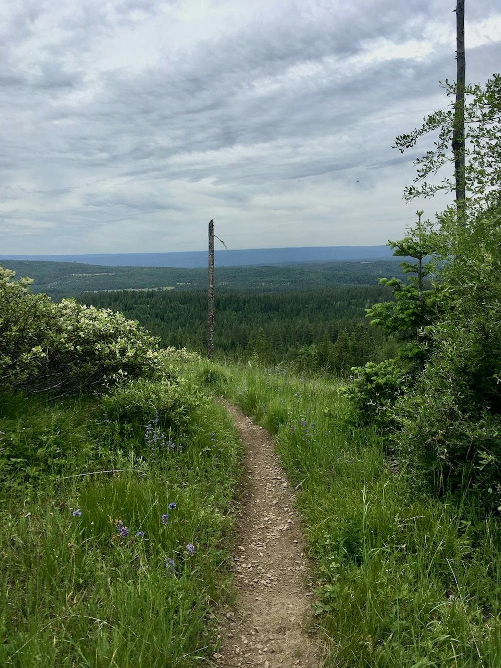
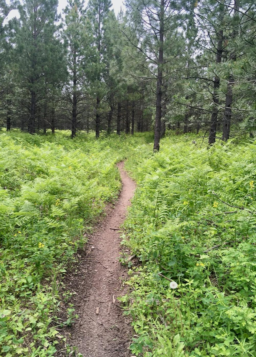
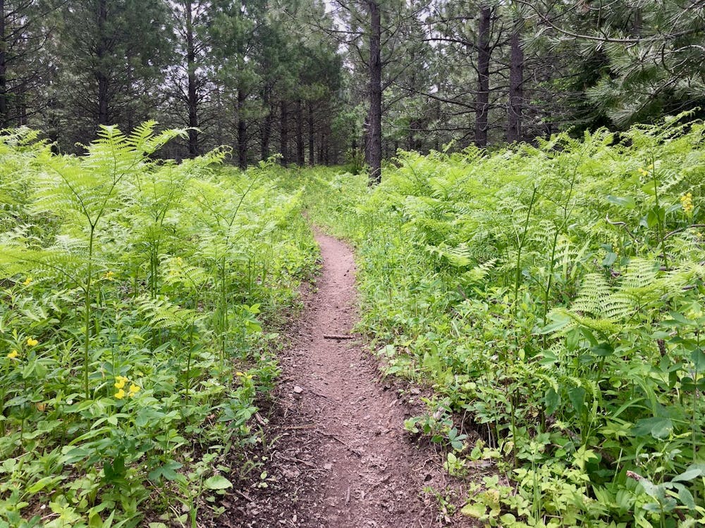
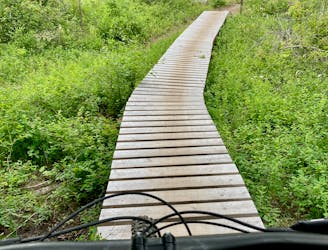
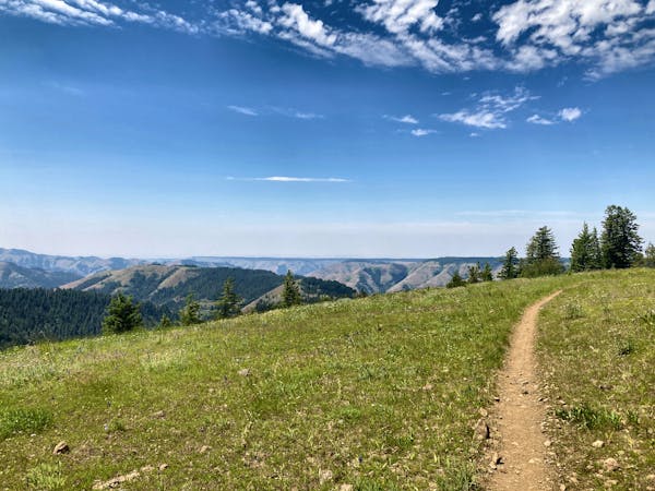
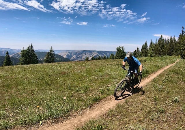
The Snag Trail is a true singletrack gem! The trees open up into alpine meadows, affording beautiful views of endless rolling mountains covered in pine trees. There’s no sign of civilization—it feels like you’re in the middle of absolutely nowhere. And that’s not far from the truth.
In general, it’s incredible how great of shape these dirt bike trails are in. The trail tread isn’t eroded at all, making for delightful pedaling both up and down the mountain. Yes, there are a few steep climbs that might be no problem on the motos that prove more challenging on the mountain bike, but that's all part of the game.
Savor these sweet, hidden, loamy singletrack trails—you might not see another living soul!
Difficult
Mostly stable trail tread with some variability featuring larger and more unavoidable obstacles that may include, but not be limited to: bigger stones, roots, steps, and narrow curves. Compared to lower intermediate, technical difficulty is more advanced and grades of slopes are steeper. Ideal for upper intermediate riders.

The trail contains some obstacles such as outcroppings and rock which could cause injury.

Little chance of being seen or helped in case of an accident.
A ripping loop on the moto side of the mountain.
Difficult Mountain Biking
3.4 km away
The eponymous trail connecting the larger MERA trail system together.
Moderate Mountain Biking
3.7 km away

One of the best routes to maximize the descending at MERA.
Difficult Mountain Biking
3.7 km away
Ride from the low point to the high point—and back!—of the MERA trail system.
Difficult Mountain Biking
3.7 km away
A MERA loop variant with more climbing and flow-filled descending.
Moderate Mountain Biking
3.7 km away
The first downhill mountain biking-only trail at MERA!
Severe Mountain Biking
11 routes · Mountain Biking
18 routes · Mountain Biking · Gravel Biking · Hiking · Stand Up Paddle
5 routes · Mountain Biking

20 routes · Mountain Biking

15 routes · Mountain Biking