1 m away
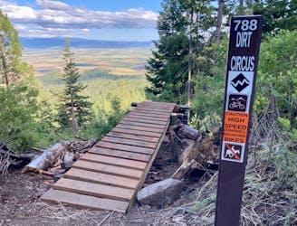
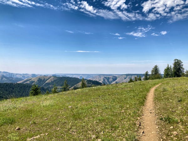
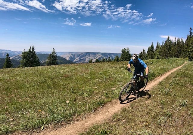
MERA: North Knob -> Caffeine Loop
Ride from the low point to the high point—and back!—of the MERA trail system.
Difficult Mountain Biking
- Distance
- 24 km
- Ascent
- 851 m
- Descent
- 851 m
One of the best routes to maximize the descending at MERA.
Mountain Biking Difficult

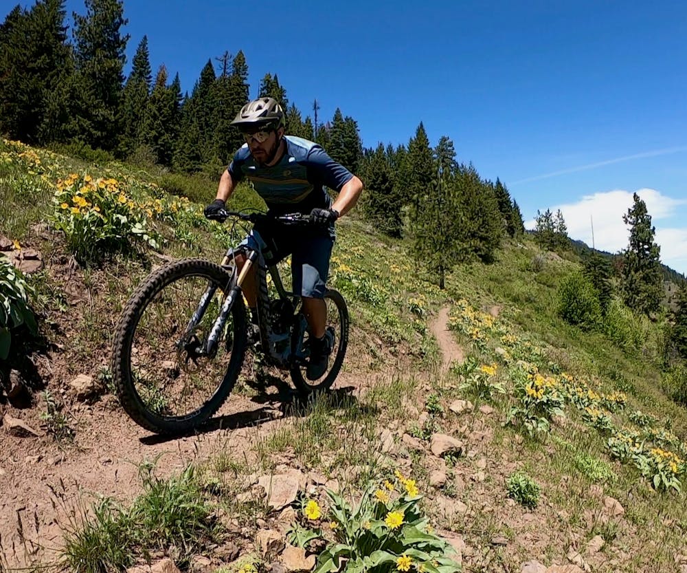
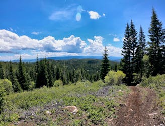
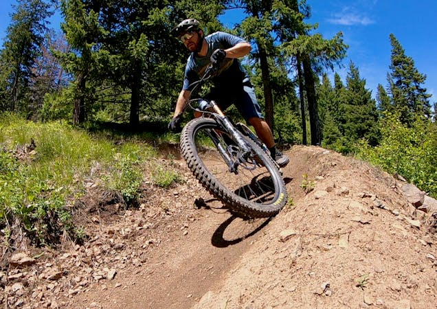
The Tom G Special is one of the top recommended ways to maximize the best descending mountain biking trails in MERA. Named after the local rider who concocted the route, maximizing the best descents involves crisscrossing the mountain on doubletrack roads, making this map quite useful. Otherwise, the route would not be immediately apparent.

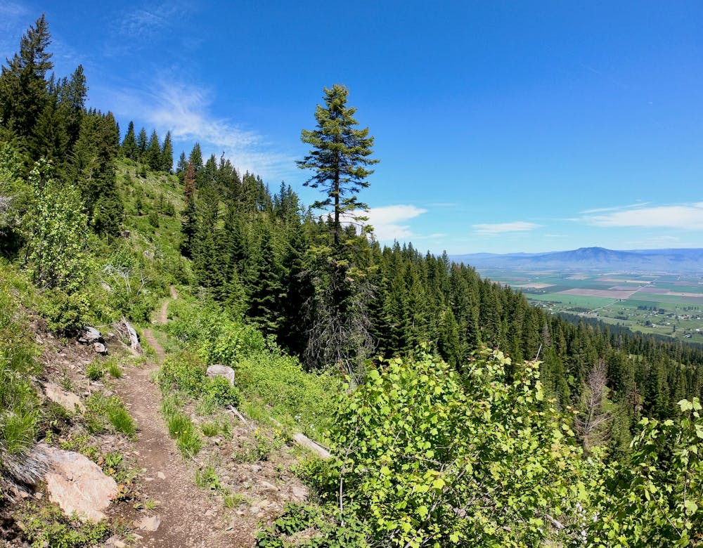
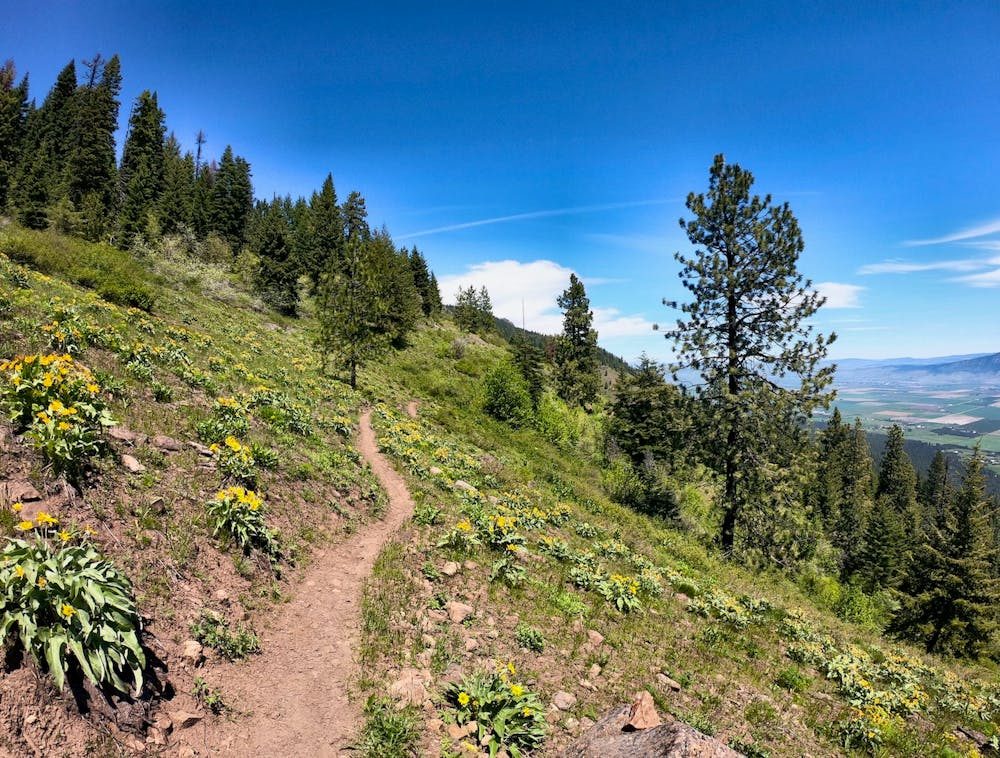
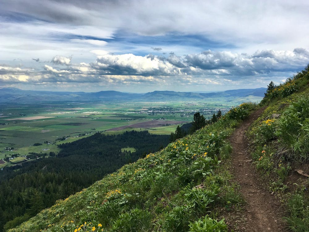
Of course, you can carry on up higher to the top of North Knob and descend North Knob to Ridgeline to Upper Doing Time for even more descending, but the Tom G Special descent can easily be shuttled with a two-wheel-drive vehicle. The loop route mapped here climbs the Mount Emily Road, so the climb can be cut off with a vehicle shuttle.
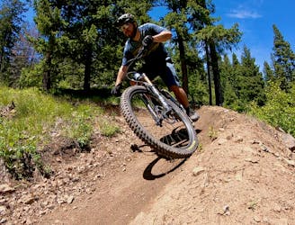
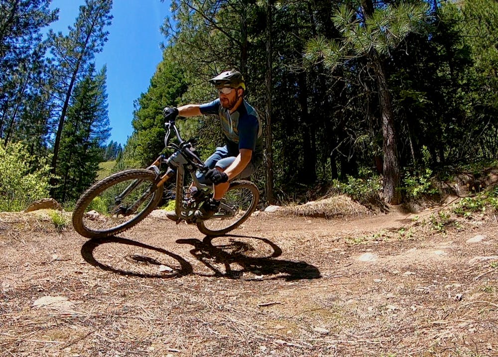
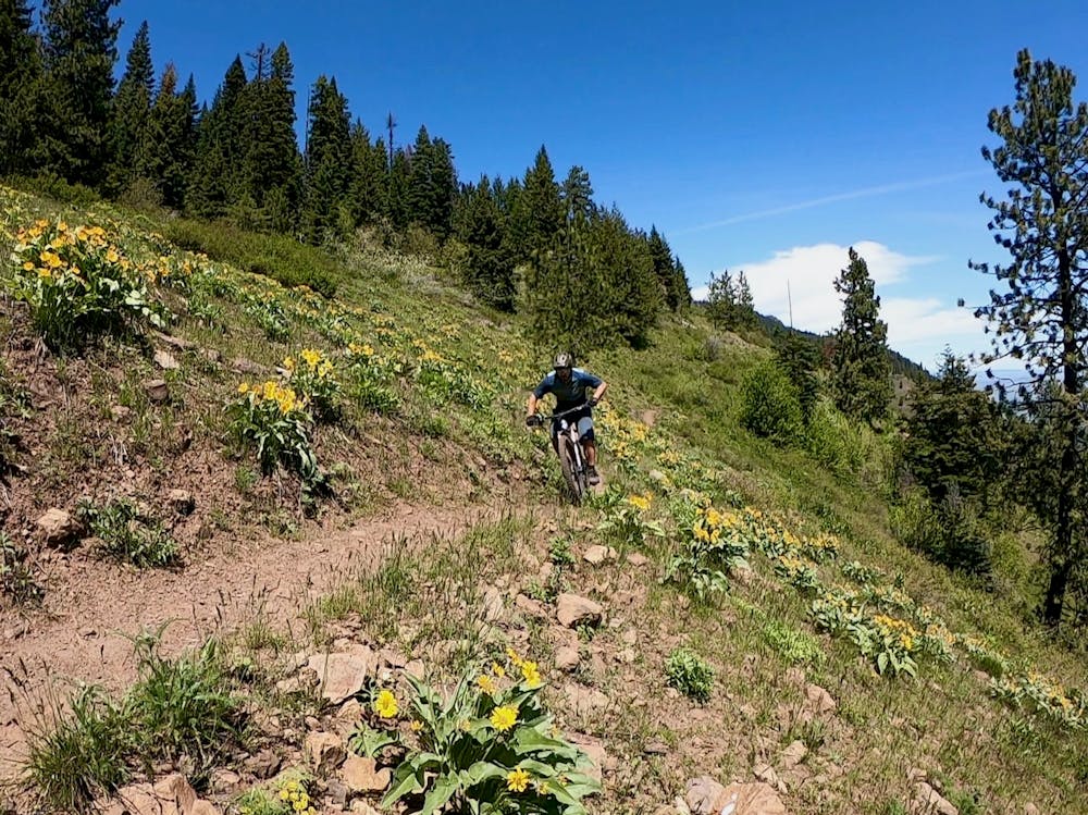
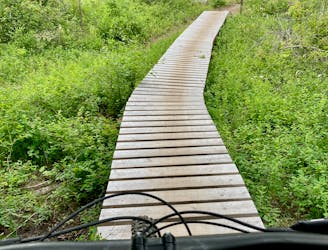
The descent begins on Caffeine and then heads for Doing Time, ripping through a few respectable jumps and drops and blasting through some of the finest berms on the mountain. After the best section of doing time, the route doubles back over to Caffeine via a gated doubletrack, then drops down Caffeine to Whoopsy-Do, eventually finishing with the jumps and berms on the Skills Slalom.
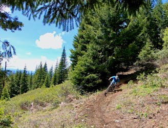
Berms and jumps are the name of the game on this run! You’ll find berms in almost every corner, and while most of the jumps are old school and a bit sketchy, often with sniper landings, there are tons of opportunities to catch some air. Enjoy the dark, tacky dirt and the ripping descent!
Difficult
Mostly stable trail tread with some variability featuring larger and more unavoidable obstacles that may include, but not be limited to: bigger stones, roots, steps, and narrow curves. Compared to lower intermediate, technical difficulty is more advanced and grades of slopes are steeper. Ideal for upper intermediate riders.

The trail contains some obstacles such as outcroppings and rock which could cause injury.
Away from help but easily accessed.
1 m away
Ride from the low point to the high point—and back!—of the MERA trail system.
Difficult Mountain Biking
1 m away
A MERA loop variant with more climbing and flow-filled descending.
Moderate Mountain Biking
1 m away
The first downhill mountain biking-only trail at MERA!
Severe Mountain Biking
1.2 km away
The eponymous trail connecting the larger MERA trail system together.
Moderate Mountain Biking
3.7 km away
A ripping loop on the moto side of the mountain.
Difficult Mountain Biking
3.7 km away
Singletrack gems on the moto legal side of MERA.
Difficult Mountain Biking
11 routes · Mountain Biking
18 routes · Mountain Biking · Gravel Biking · Hiking · Stand Up Paddle
5 routes · Mountain Biking

20 routes · Mountain Biking

15 routes · Mountain Biking