1.2 km away
MERA: Tom G Special Loop

One of the best routes to maximize the descending at MERA.
Difficult Mountain Biking
- Distance
- 18 km
- Ascent
- 655 m
- Descent
- 655 m
The eponymous trail connecting the larger MERA trail system together.
Mountain Biking Moderate

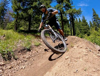
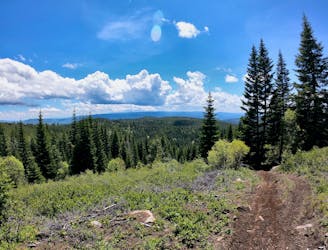
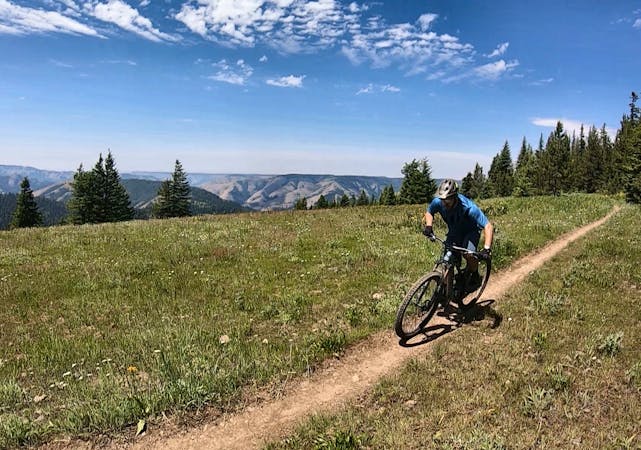
The eponymous MERA Loop anchors the greater trail system, providing a spine that all of the other trails connect to in some way. In addition to connecting the entire network together, this trail epitomizes the style of mountain biking that’s most popular here at MERA.
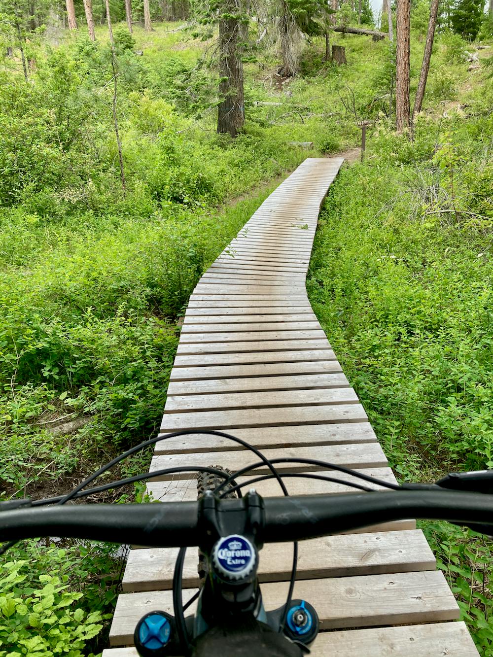
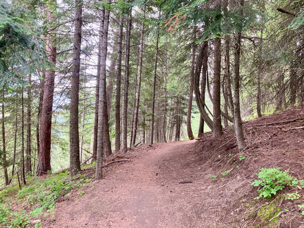
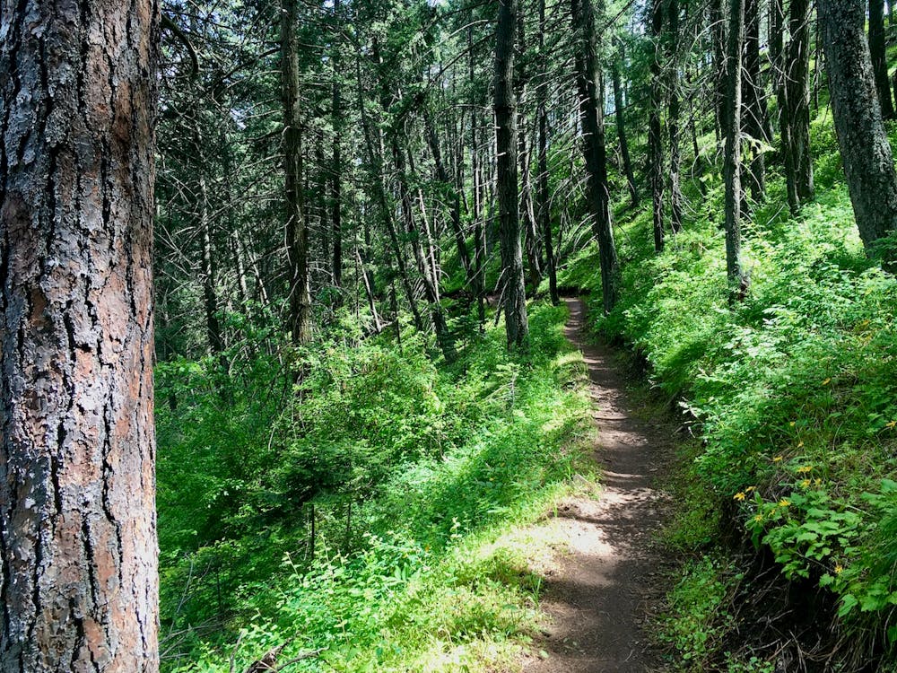
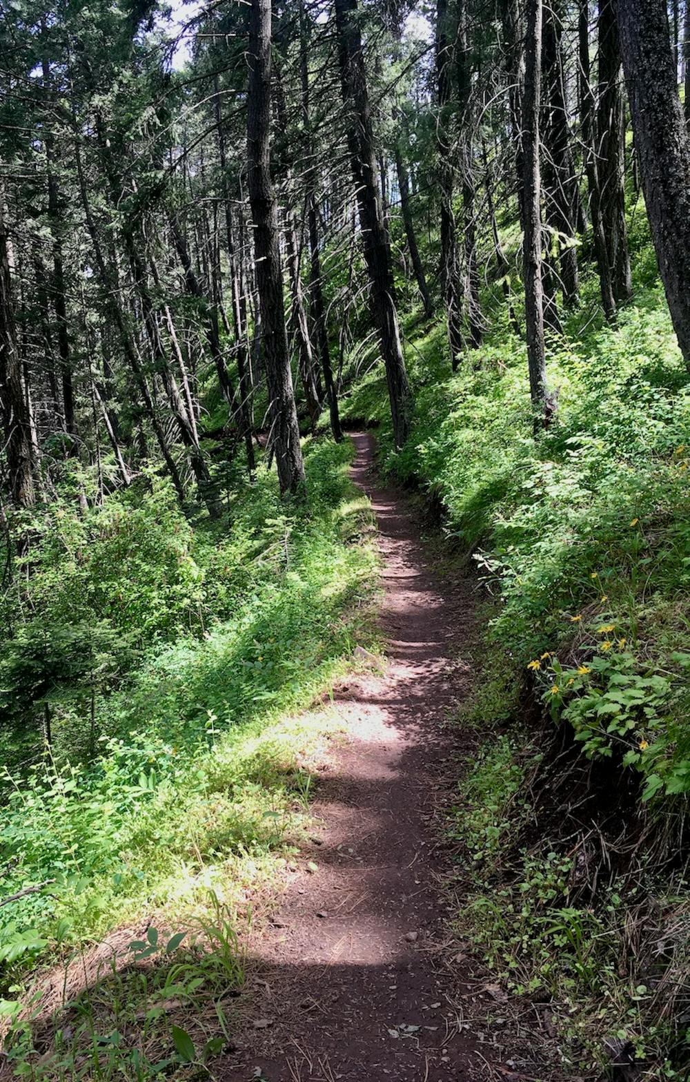
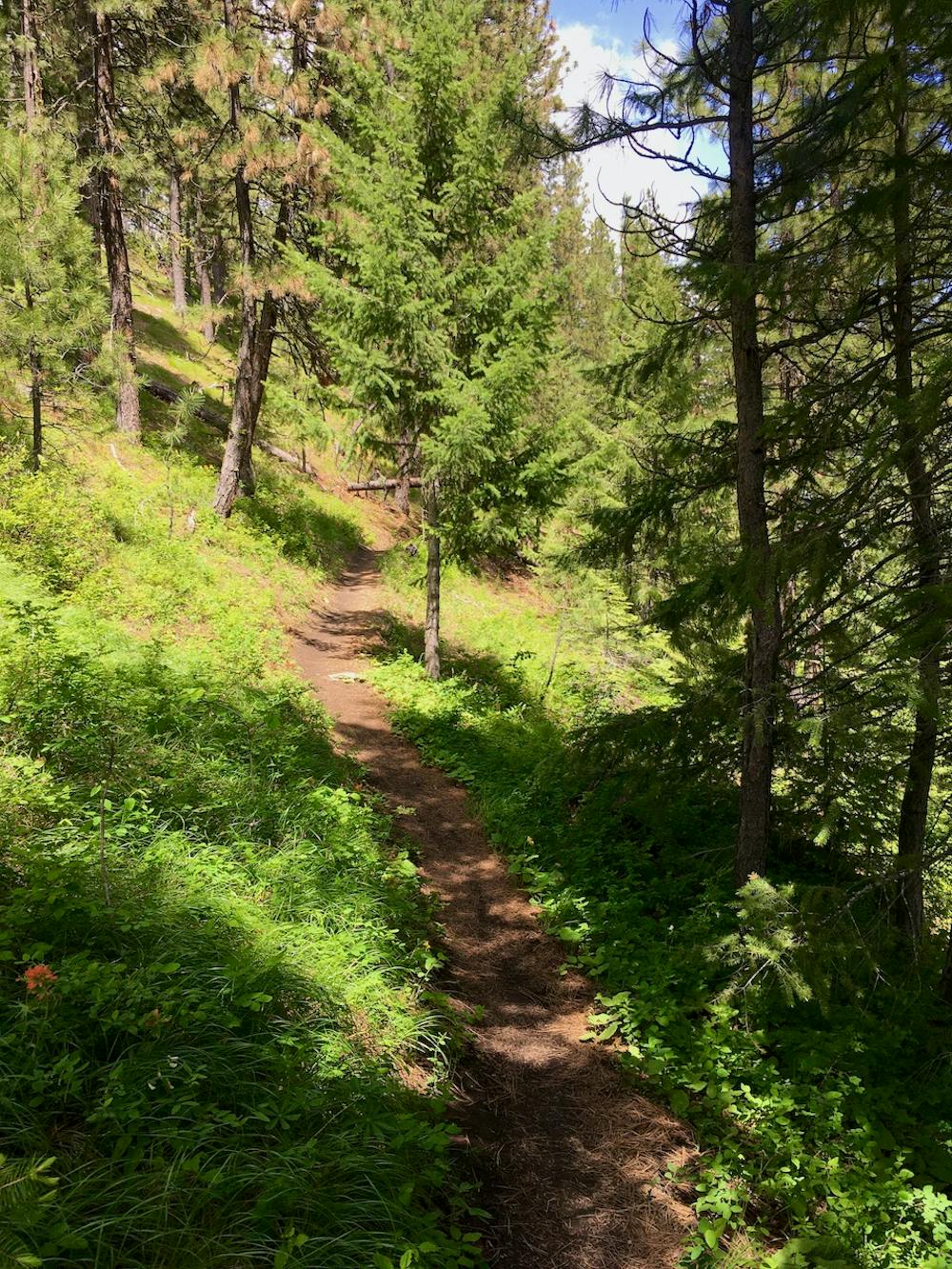
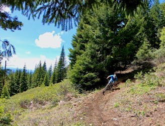
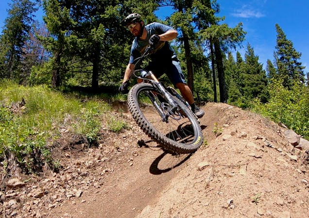
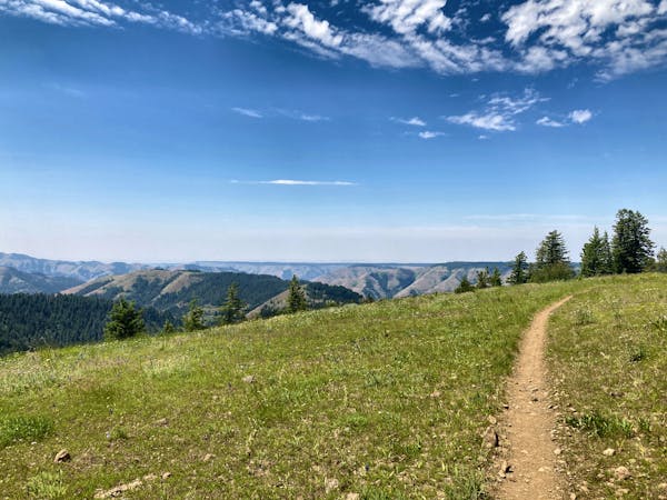
The MERA loop is comprised of buff, fast, flowy dark dirt singletrack snaking through the deep forest along the steep sides of Mount Emily. Tight turns and switchbacks punctuate the high-speed straightaways, and even for a so-called cross country loop, there’s plenty of climbing and descending to be had. Despite being classified as a died-in-the-wool XC trail, swoop and flow is the name of the game on the MERA loop with rollers, berms, and a delightful undulation to the trail at all times.
While some trails in the MERA trail system tend to get overgrown, the singletrack on the MERA loop stays wide and largely free of undergrowth. This is largely due to the popularity of this trail. While the convoluted network of singletrack on this mountainside can sometimes be difficult to navigate, the standard MERA loop is well-marked and easy to follow. Consequently, plenty of people follow it, making it one of the most popular trails in the network.
For a bit more climbing and descending, try incorporating the Sasquatch Trail into your ride, and possibly starting from the Igo Trailhead instead of the Owsley Trailhead.
Moderate
Mostly stable trail tread with some variability, with unavoidable obstacles 8in/20cm tall or less. Other obstacles such as rock gullies and steep sections may exist. Ideal for lower intermediate riders.

The trail contains some obstacles such as outcroppings and rock which could cause injury.
Away from help but easily accessed.
1.2 km away
One of the best routes to maximize the descending at MERA.
Difficult Mountain Biking
1.2 km away
Ride from the low point to the high point—and back!—of the MERA trail system.
Difficult Mountain Biking
1.2 km away
A MERA loop variant with more climbing and flow-filled descending.
Moderate Mountain Biking
1.2 km away
The first downhill mountain biking-only trail at MERA!
Severe Mountain Biking
3.4 km away
A ripping loop on the moto side of the mountain.
Difficult Mountain Biking
3.4 km away
Singletrack gems on the moto legal side of MERA.
Difficult Mountain Biking
11 routes · Mountain Biking
18 routes · Mountain Biking · Gravel Biking · Hiking · Stand Up Paddle
5 routes · Mountain Biking

20 routes · Mountain Biking

15 routes · Mountain Biking