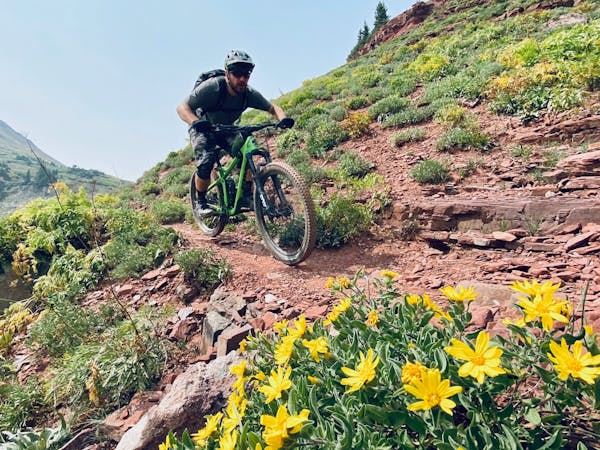
25 routes · Mountain Biking

Shuttle on the little-known but highly-acclaimed O'Leary Mountain.
Mountain Biking Difficult

Rumors of an epic ride located somewhere in the Cascades between Eugene and Bend, Oregon, had been swirling around for a few years. Eventually, those rumors coalesced, and the International Mountain Bike Association bestowed its venerable “Epic” designation on the trail, shoving it into the spotlight on the center stage of mountain biking.
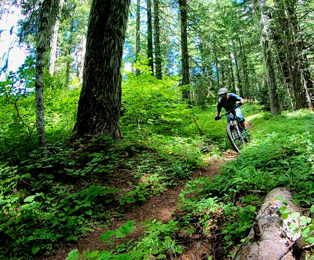
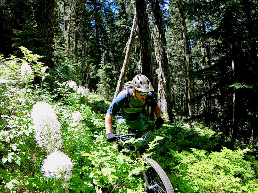
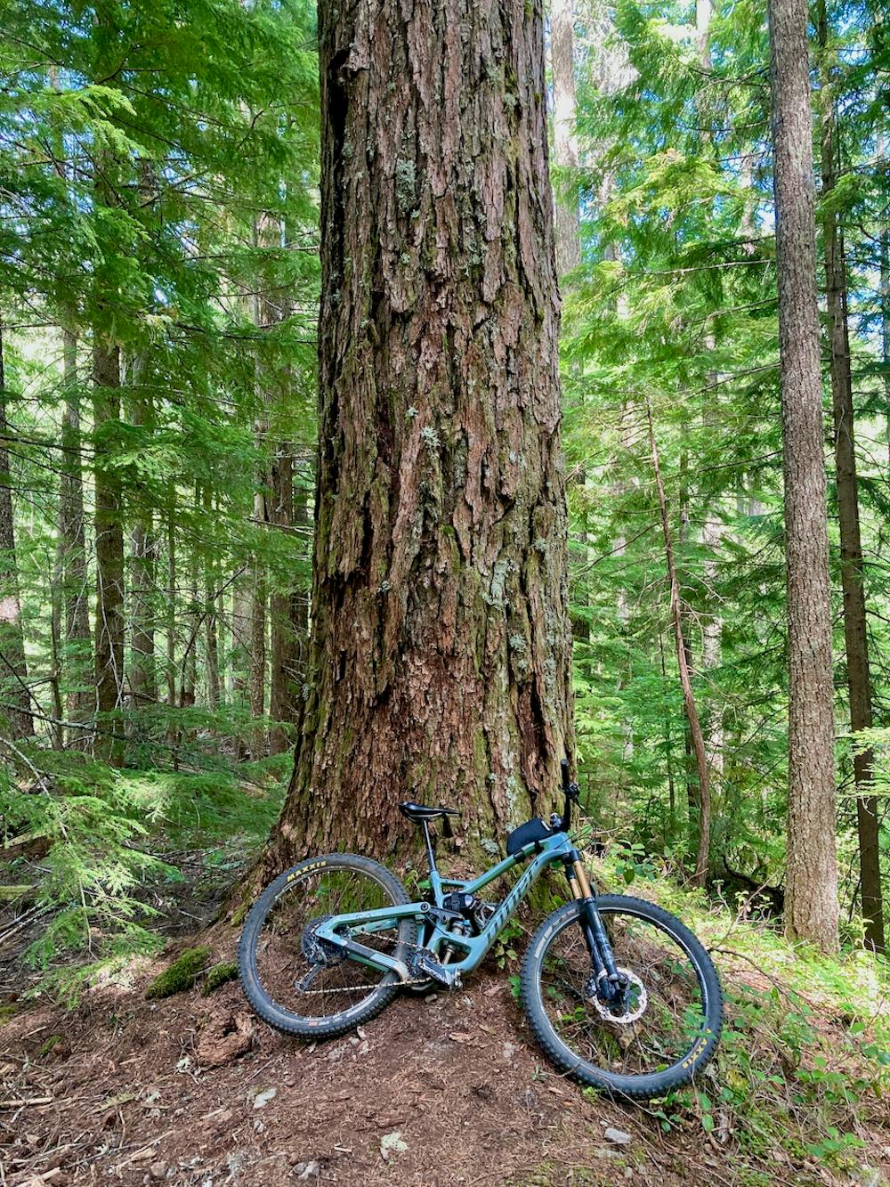

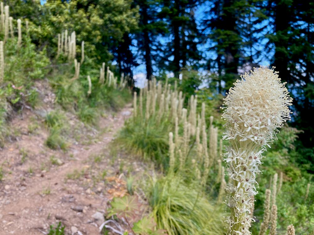
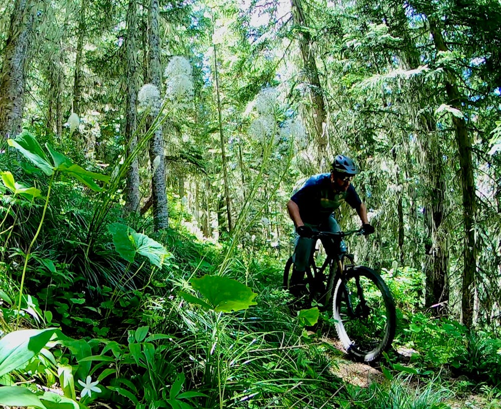
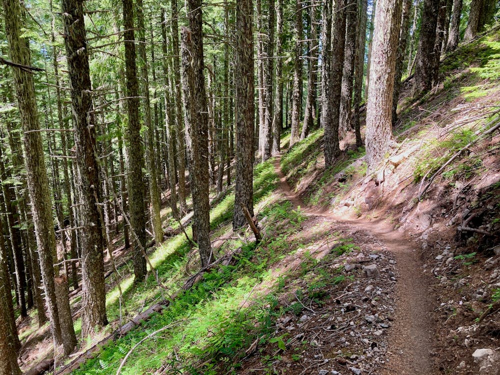
The trail in question? O’Leary Mountain.
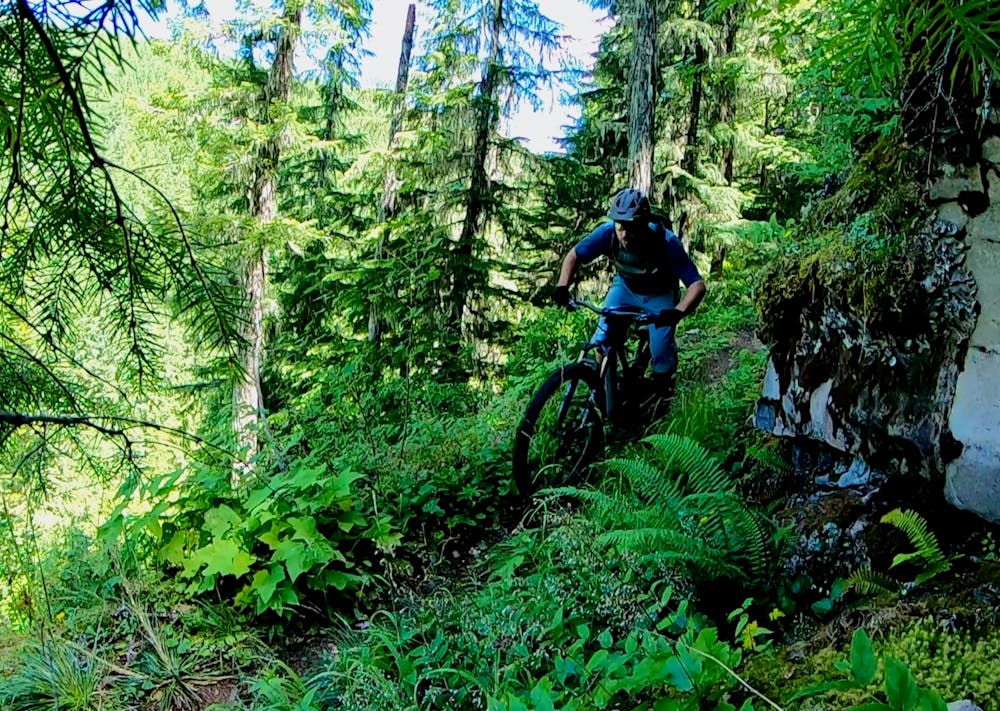
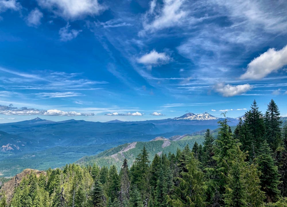
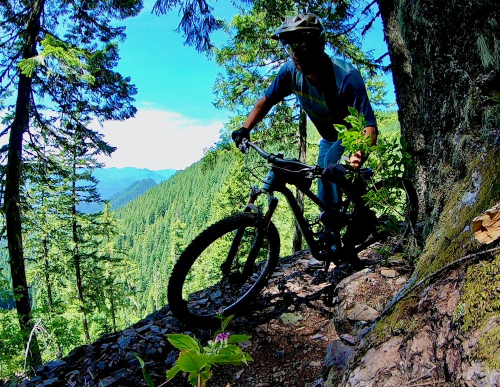
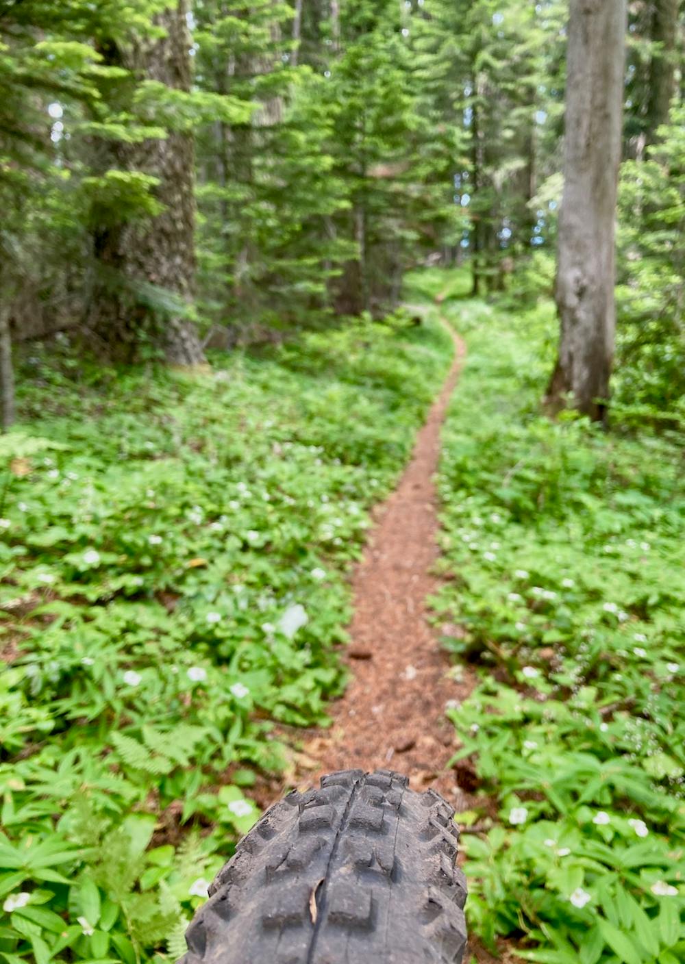
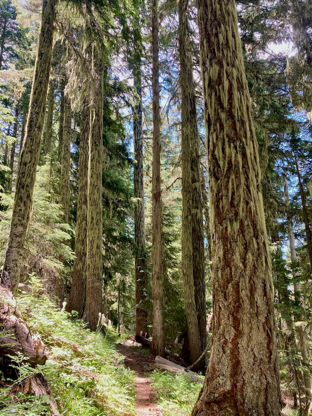
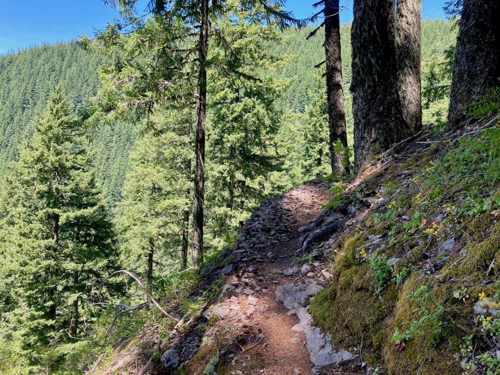
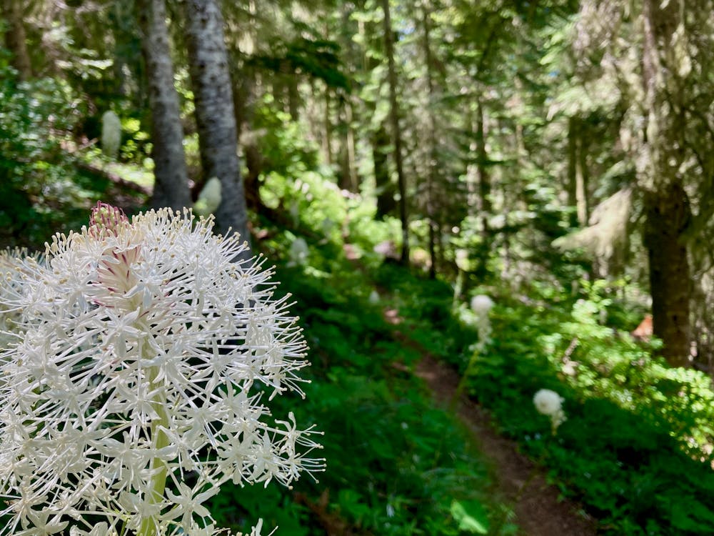
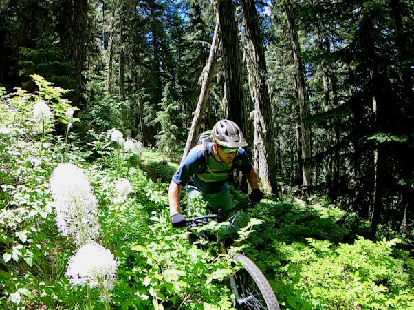
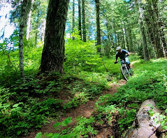
The O’Leary Mountain Trail is a sublime singletrack trail high in the Cascade Mountains. This euphoric mountain biking experience offers up stupendous views of the surrounding mountain range coupled with endless sinuous singletrack running through a lush Oregon forest. The trees tower overhead, and the steep strip of black dirt allows you to rocket downhill at Mach 10… until you reach some sections of severely-exposed singletrack with a long, long fall below you and a stacked set of tight, rocky switchbacks. The character of the trail changes throughout the descent—just when you think you have it figured out, you'll encounter a set of berms, or some delightful jumps, or the aforementioned switchbacks. The variety is part of the appeal!
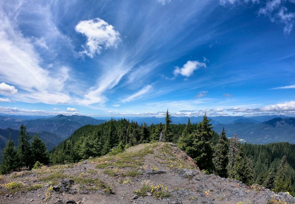
During the first half of the ride, you’ll have the opportunity to leave your bike on the trail and scramble to the top of Macduff Mountain. The quick scramble up the hillside is well-worth the break in the downhill action. From the top of the 5,040-foot mountain, you’ll enjoy expansive 360-degree views of the region that have to be seen to be believed! But for a taste, check out the pictures attached.
While O’Leary Mountain is steep and fast and does have a few exposed sections, there are no brutally-technical stretches of trail. Most fit and competent intermediate riders should be able to complete this ride, if they’re willing to step outside their comfort zones a bit.
There are three different ways to ride O’Leary Mountain: as a shuttle, a partial shuttle, or an entire loop. Technically, the partial shuttle option gets the IMBA Epic label, but that option isn’t mapped here. Rather, we’re giving you the two most logical options: full loop or full shuttle.
The route mapped here is the full shuttle option, getting you as high up the mountain as possible. Note that some of the roads marked on the map are actually gated and closed, so the most logical drive up the mountain (and the directions Google will give you) is inaccessible. Instead, to reach this shuttle drop point, take Horse Creek Road to NF-356, to NF-1993. Do not take the first right turn onto NF-1993 directly from Horse Creek Road.
Even with a shuttle, the 17-mile O’Leary Mountain ride demands over 2,400 vertical feet of climbing... but it rewards with over 6,000 feet of high speed downhill shredding! The 6,000 feet of ridiculously fun descending may just make this one of the best mountain bike shuttle runs in the USA.
If you haven’t ridden O’Leary yet, start planning your trip right now!
Difficult
Mostly stable trail tread with some variability featuring larger and more unavoidable obstacles that may include, but not be limited to: bigger stones, roots, steps, and narrow curves. Compared to lower intermediate, technical difficulty is more advanced and grades of slopes are steeper. Ideal for upper intermediate riders.

25 routes · Mountain Biking
10 routes · Mountain Biking
5 routes · Mountain Biking
5 routes · Mountain Biking
20 routes · Mountain Biking
15 routes · Mountain Biking