58 m away
Funner -> Storm King Enduro Run
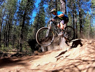
Bend's classic enduro stage.
Severe Mountain Biking
- Distance
- 12 km
- Ascent
- 50 m
- Descent
- 458 m
A fast, flowy shuttle run on the southern end of the Bend trail system.
Mountain Biking Moderate

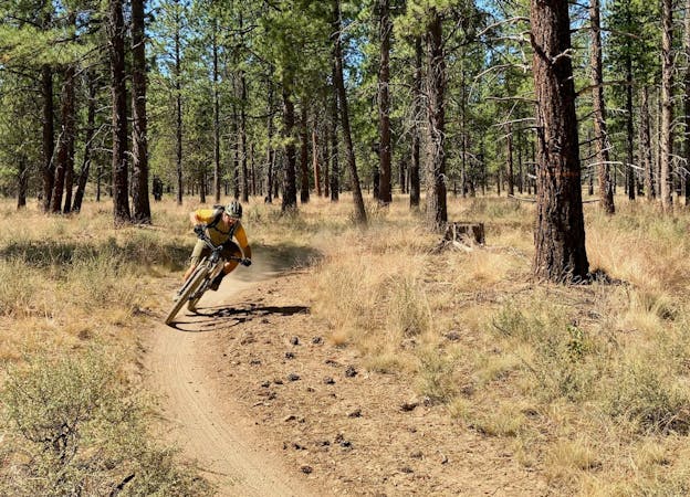
Tyler’s Traverse to Catch and Release forms an excellent point-to-point shuttle run that avoids most of Bend's trail traffic. After pedaling across Upper Tiddlywinks and Kiwa Butte to get to the top of Tyler’s Traverse, get ready for miles and miles of fast, flowy descending!
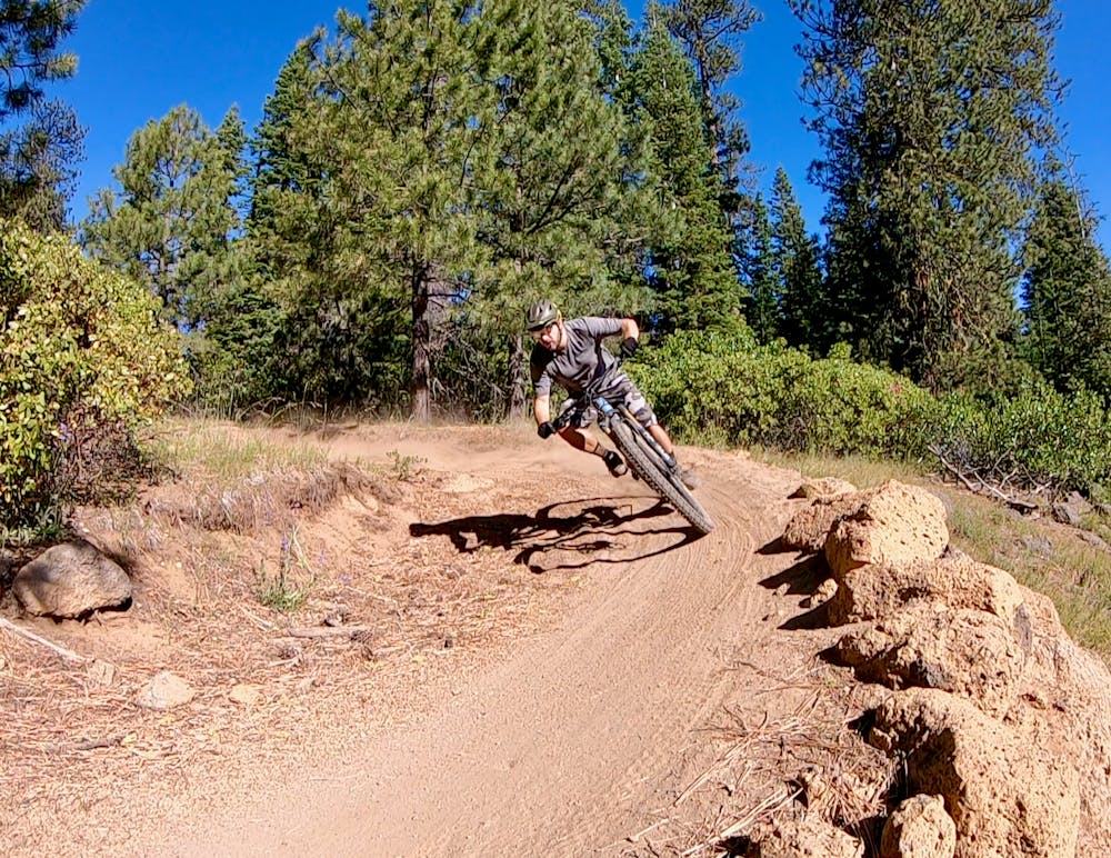
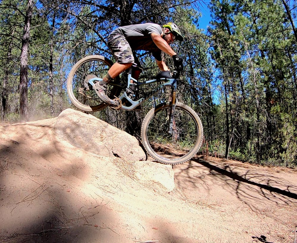
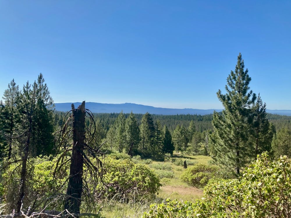
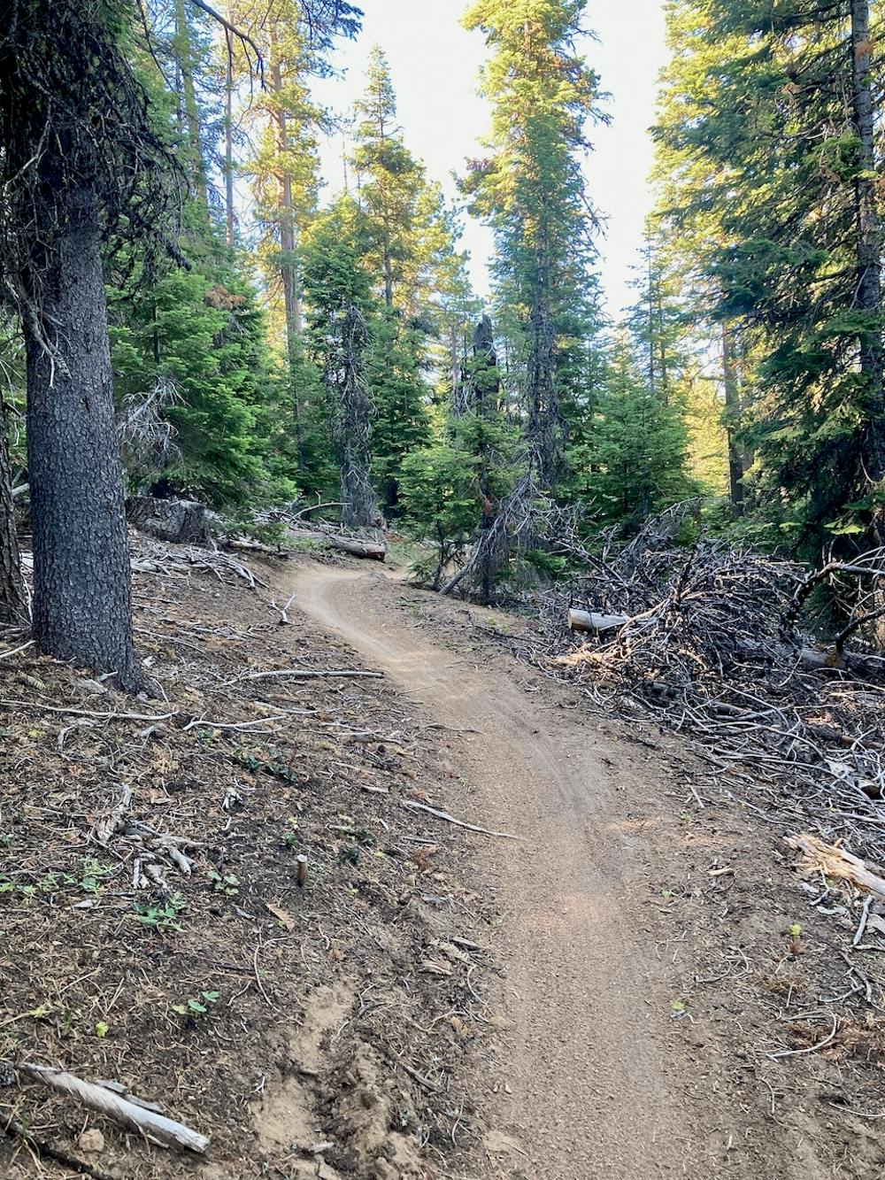
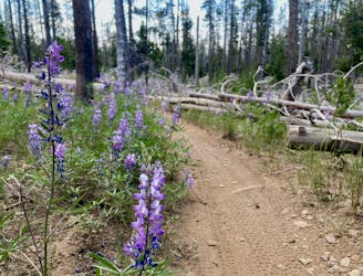
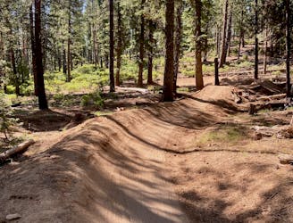
Unlike nearby Tiddlywinks, you won’t find any big features on Tyler’s. If you keep your eyes open, you can spot a few small jumps, alt drop lines, and the occasional little challenge sprinkled throughout the endless series of low, flowy berms. While there aren’t any great views to be had (aside from one corner), the constant swoop and flow as the trail descends for miles through the pines is plenty to attract riders to Tyler’s
This series of trails forms the southern end of the primary Bend trail system, so it’s quite removed from the heart of Phil’s. You have to do some work to reach Tyler’s, whether it’s hopping in the car and setting up a shuttle or pedaling miles of trail.
If you want to focus solely on the downhill rip, drop a car right at the bottom of Tyler’s Traverse. If you want to eek out a little bit more mileage and make the shuttling action easier, just drop your car on the Cascade Lakes Highway at the end of Catch and Release.
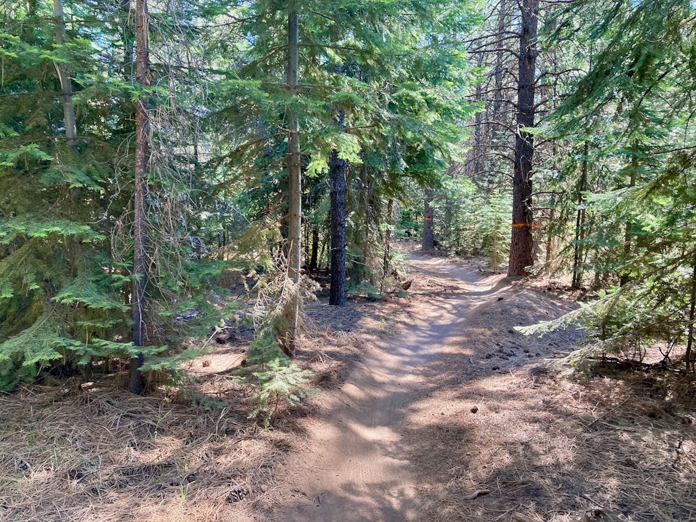
The final few miles on Catch and Release consist of classic pedally, green Bend singletrack to get back to your car. This section of trail is up and down with no serious descending, but provides a decent cool down.
All things considered, this shuttle on Tyler’s Traverse gets a solid two thumbs up!
Moderate
Mostly stable trail tread with some variability, with unavoidable obstacles 8in/20cm tall or less. Other obstacles such as rock gullies and steep sections may exist. Ideal for lower intermediate riders.

The path is on completely flat land and potential injury is limited to falling over.

Away from help but easily accessed.
58 m away
Bend's classic enduro stage.
Severe Mountain Biking
2.8 km away
One of the most rewarding mountain bike rides in Bend!
Difficult Mountain Biking
5.7 km away
North Fork from Skyliner Trailhead.
Difficult Mountain Biking
6.1 km away
A feature-rich loop ride removed from the business of the Phil's Trailhead.
Difficult Mountain Biking
7 routes · Mountain Biking
5 routes · Mountain Biking · Hiking · Stand Up Paddle

20 routes · Mountain Biking

15 routes · Mountain Biking