South Rim Trail Lollipop
Gain stunning views off of Big Bend's elevated South Rim.
Difficult Hiking
- Distance
- 23 km
- Ascent
- 933 m
- Descent
- 933 m
An incredible loop hike to Big Bend's dramatic South Rim.
Hiking Difficult

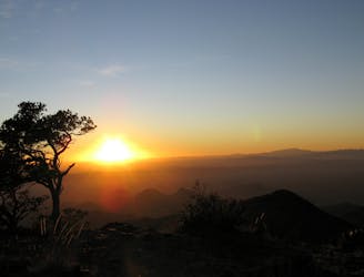
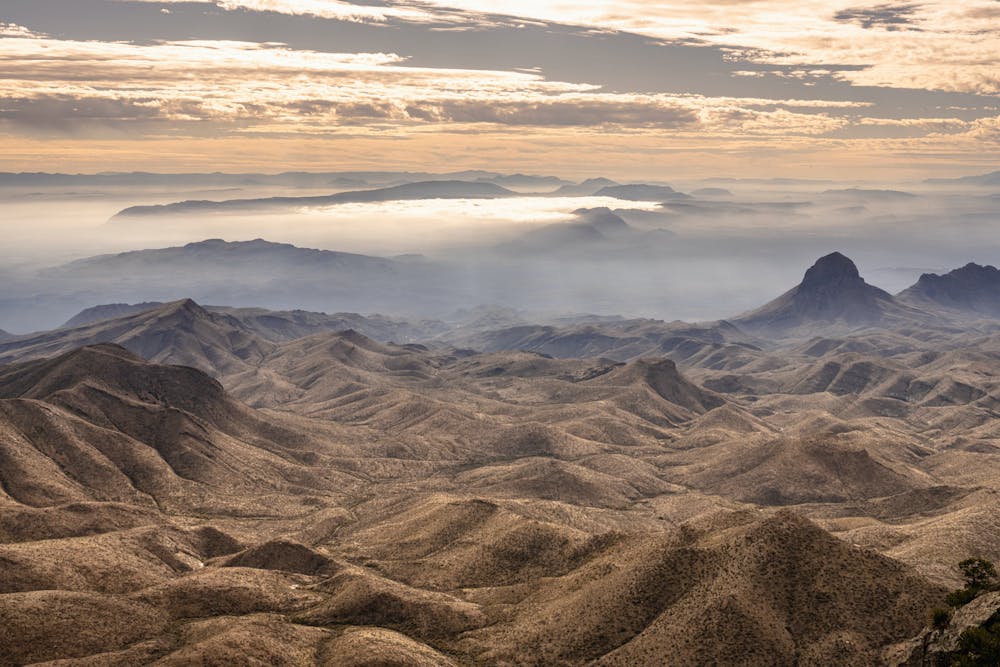
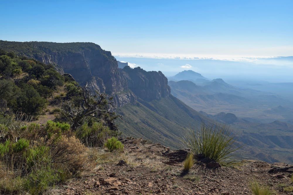
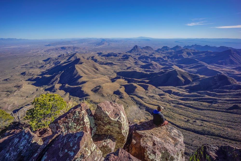
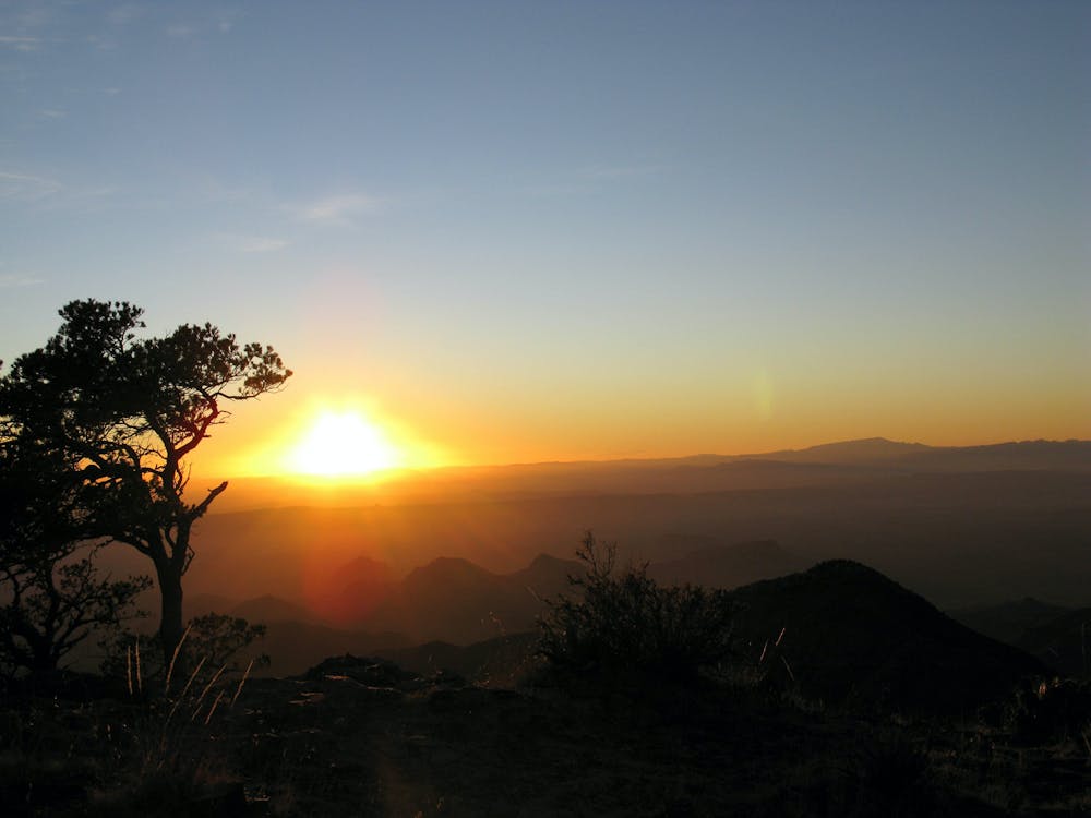
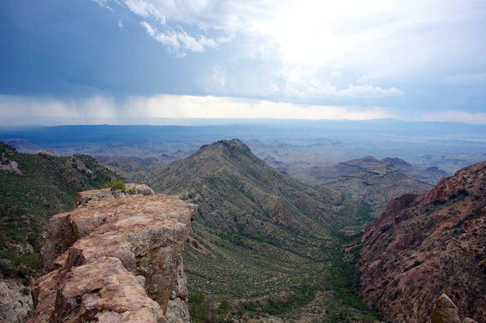
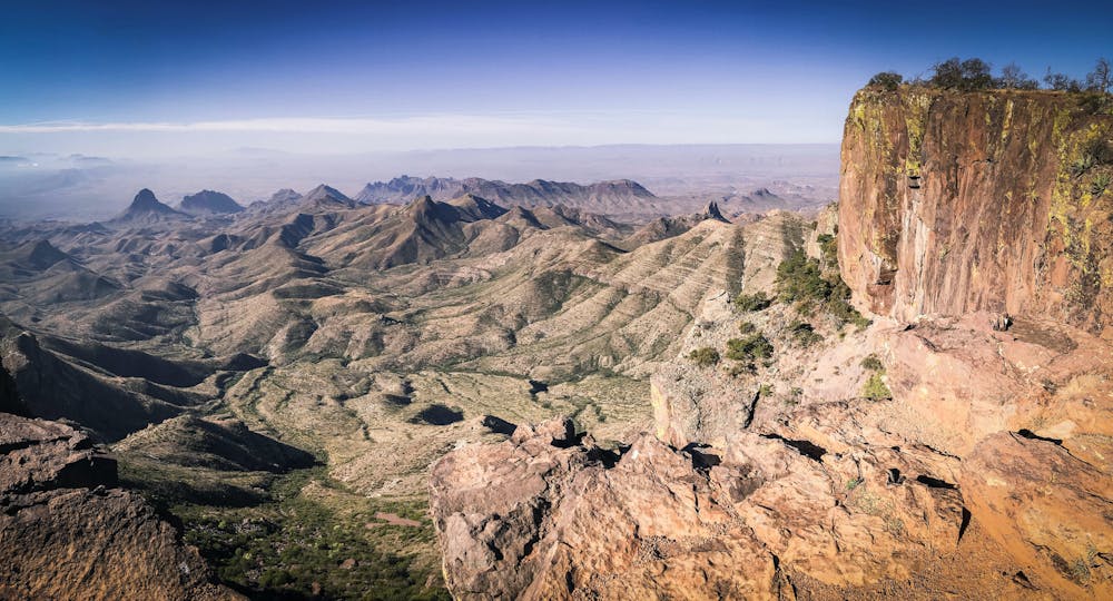
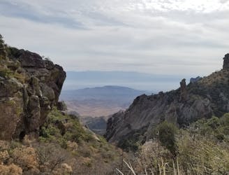
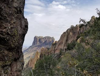
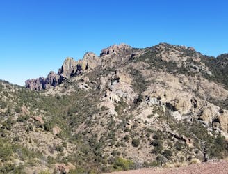
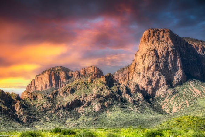
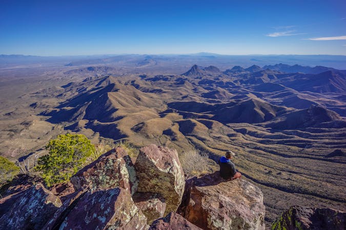
The South Rim Trail is renowned as one of the most beautiful hikes in all of Texas! This stunning trail traverses along an elevated rim in the Chisos Mountains, and from the rim, you'll enjoy expansive views of the Chihuahuan desert spread out below you.
To make this hike truly epic, you can combine it with several other trails in the Chisos to form the "Chisos Mountain Loop." This 14-mile loop begins on the Laguna Meadows trail, traverses the South Rim, and then finishes on the Pinnacles trail.
If you're truly a glutton for punishment, you can also add on a summit of Emory Peak—the highest mountain in Big Bend National Park. So ultimately, how long and how difficult you want to make this adventure is entirely up to you.
While it's definitely possible to complete this loop as a day hike, you can choose to break it up into an overnight backpacking trip by using one of the many backcountry campsites that line the trail. If you go for a longer itinerary, tackling this route over two days might be a good idea.
Note: If you plan to spend the night in the backcountry, you'll need to book your backcountry campsite in advance. Check with the NPS for campsite availability.
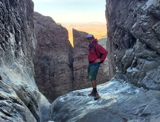
The trail tread itself is classic high desert singletrack, consisting of plenty of rocks, rock steps, some sandy sections, and some fairly steep climbs. This hike is mostly non-technical, but if you choose to climb up Emory, expect to encounter some substantially steeper and more technical climbing.
Many sources note that the best views from the South Rim are only accessible via a short spur trail off of the main loop. Be sure to head all the way out to the rim, because the views are absolutely exceptional!
Sources: https://www.earthtrekkers.com/south-rim-trail-hike-big-bend-national-park/ https://bigbendguide.com/inside-the-park/hikes/day-hikes/the-south-rim-trail/ https://www.theoutbound.com/theoutbound/25-must-do-hikes-in-texas
Difficult
Hiking trails where obstacles such as rocks or roots are prevalent. Some obstacles can require care to step over or around. At times, the trail can be worn and eroded. The grade of the trail is generally quite steep, and can often lead to strenuous hiking.

Some trail sections have exposed ledges or steep ascents/descents where falling could cause serious injury.
Little chance of being seen or helped in case of an accident.
Gain stunning views off of Big Bend's elevated South Rim.
Difficult Hiking
14 m away
A epic undertaking to the summit of Emory Peak, the tallest peak in the Chisos Mountains.
Difficult Hiking
15 m away
An epic multi-day journey through Big Bend National Park
Severe Hiking
561 m away
The most popular trail in the Chisos Basin.
Difficult Hiking
1.5 km away
A popular hike in Big Bend National Park with endless views of the Chisos Mountains.
Difficult Hiking
12 routes · Hiking

10 routes · Hiking
14 routes · Hiking

63 routes · Alpine Climbing · Hiking