1.4 km away
Window Trail
The most popular trail in the Chisos Basin.
Difficult Hiking
- Distance
- 7.4 km
- Ascent
- 222 m
- Descent
- 222 m
A popular hike in Big Bend National Park with endless views of the Chisos Mountains.
Hiking Difficult

The NPS describes this hike as "an outstanding introduction to the flora and fauna of the Chisos Mountains." Located near the Chisos Basin Visitor Center, this hike is a perfect opportunity to escape the heat and ascend into the higher elevations.
The hike begins at a trailhead on Basin Junction Road. Be sure to get an early start as the parking area can fill quickly in the spring and fall months.
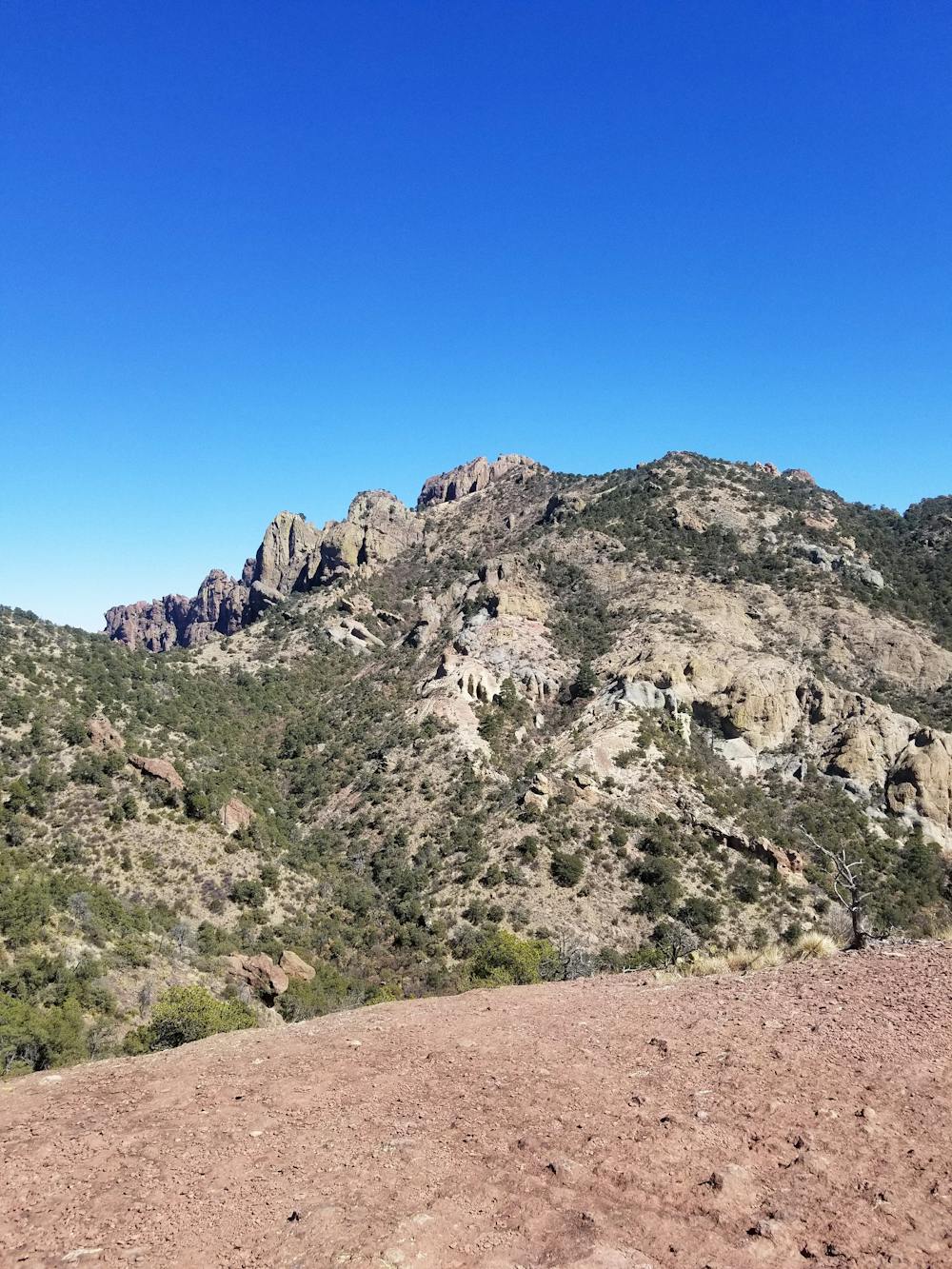
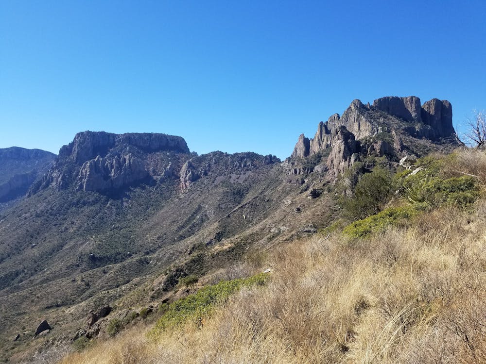
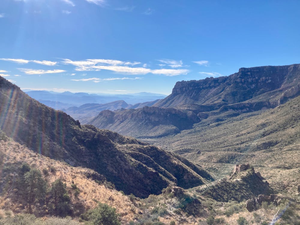
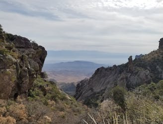
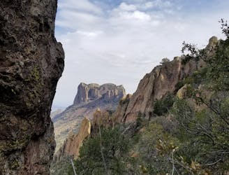
The trail begins with a steady uphill climb into a saddle, roughly one mile in. From here, you'll have an excellent vantage point to view Casa Grande (elevation 7,100 feet) to the west and Juniper canyon to the south.
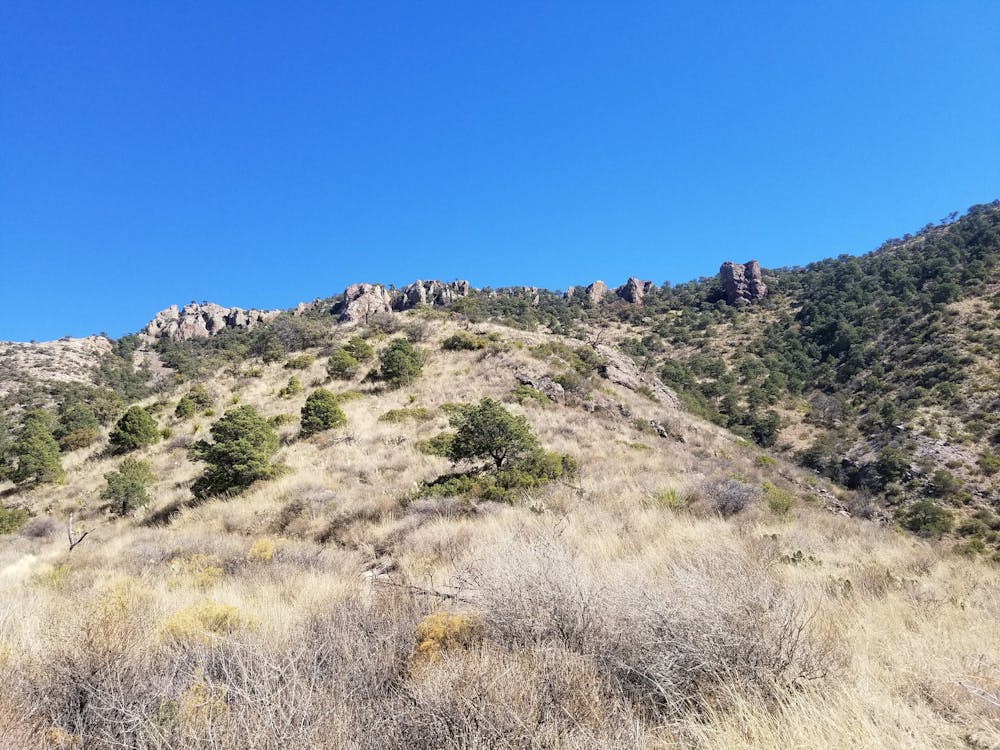
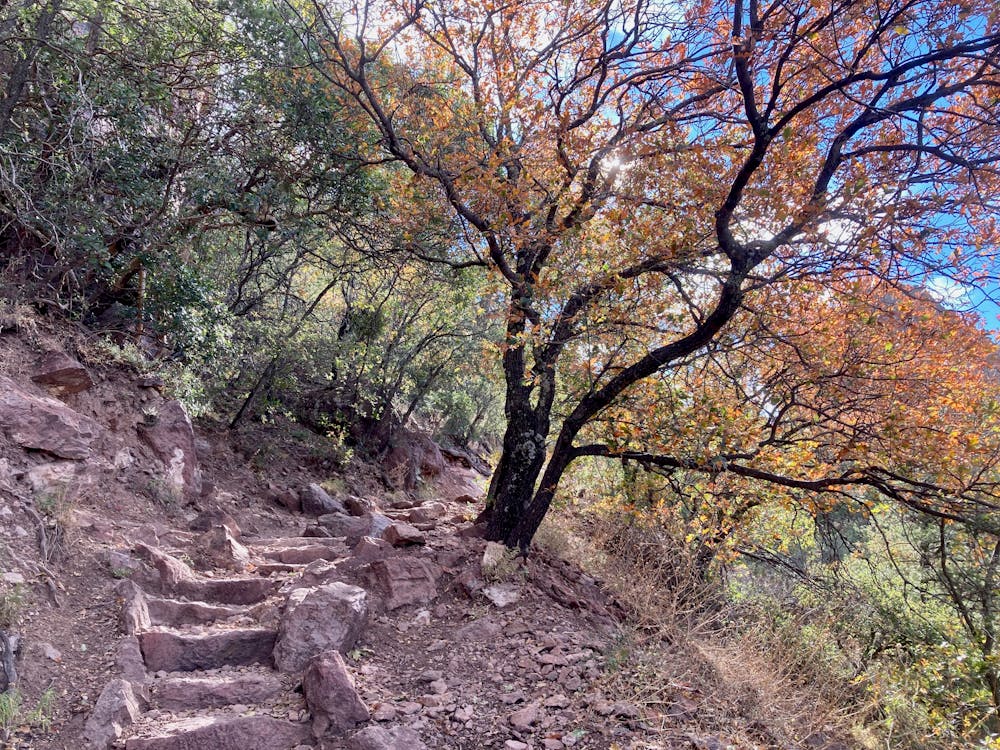
Ahead, the trail steepens as it continues to ascend a series of rugged switchbacks. Here, the picturesque forest begins to showcase pine, juniper, and oak trees in addition to a wide array of other plants, including cacti.
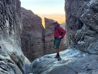
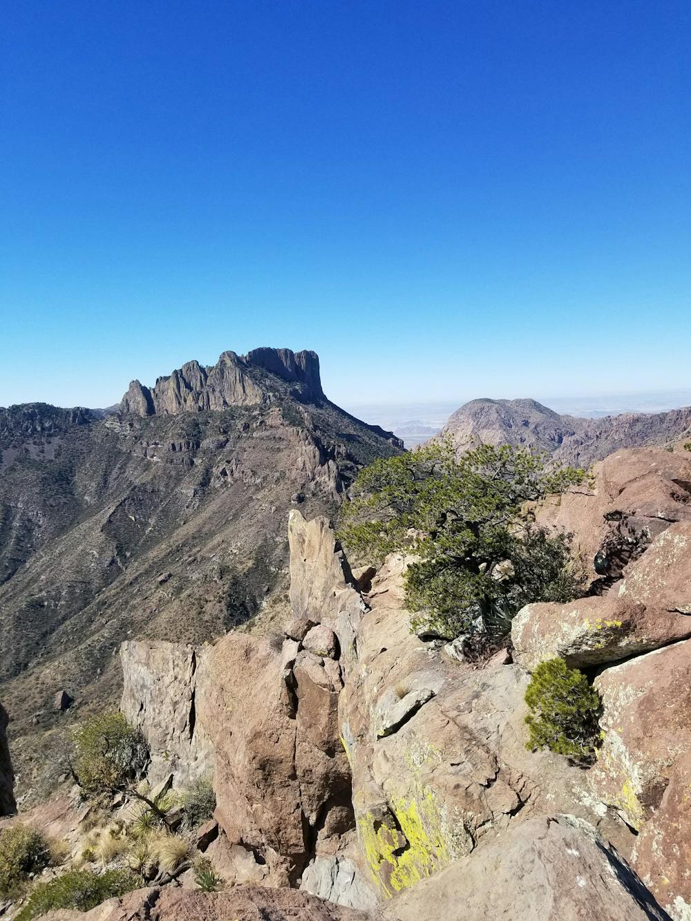
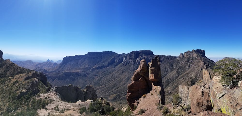
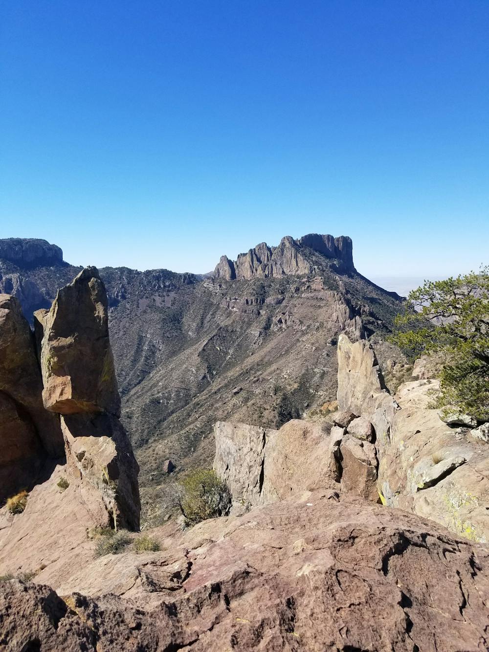
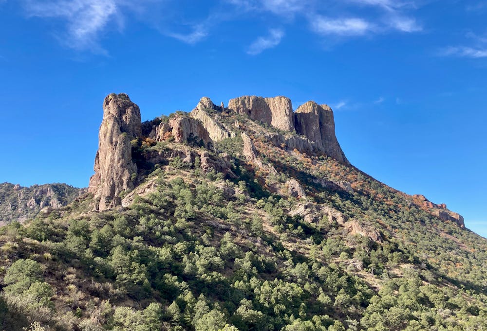
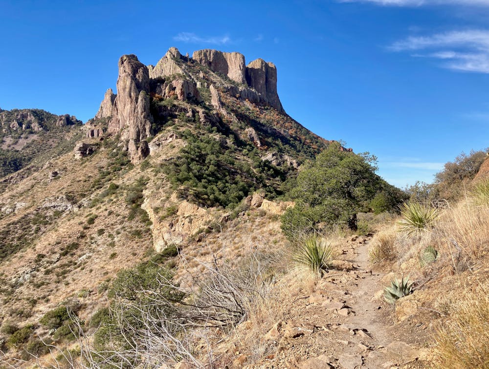
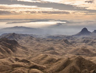
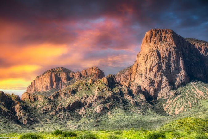
The trail ends on the crest of an exposed ridge, offering incredible 360-degree views. Lost Mine Peak can be seen to the northwest and towers above 7,400 feet. Legend has it that early explorers discovered an ore body atop the peak while searching for silver and gold. After years of mining followed by multiple disputes, the entrance was sealed and to this day, it has not been uncovered. According to one of the original printed publications, "legend states, that if a person stands in the chapel door of San Vincente's mission on Easter morn, he can watch the sun's first rays strike Lost Mine Peak at the exact mine entrance."
Sources: https://www.nps.gov/bibe/learn/historyculture/upload/lmt1956.pdf https://www.nps.gov/bibe/planyourvisit/mountainhikes.htm
Difficult
Hiking trails where obstacles such as rocks or roots are prevalent. Some obstacles can require care to step over or around. At times, the trail can be worn and eroded. The grade of the trail is generally quite steep, and can often lead to strenuous hiking.

Some trail sections have exposed ledges or steep ascents/descents where falling could cause serious injury.

Away from help but easily accessed.
1.4 km away
The most popular trail in the Chisos Basin.
Difficult Hiking
1.5 km away
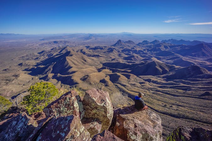
Gain stunning views off of Big Bend's elevated South Rim.
Difficult Hiking
1.5 km away
An incredible loop hike to Big Bend's dramatic South Rim.
Difficult Hiking
1.5 km away
A epic undertaking to the summit of Emory Peak, the tallest peak in the Chisos Mountains.
Difficult Hiking
1.5 km away
An epic multi-day journey through Big Bend National Park
Severe Hiking
12 routes · Hiking

10 routes · Hiking
14 routes · Hiking

63 routes · Alpine Climbing · Hiking