5.8 km away
Lone Peak
The effort on this unique and worthwhile hike puts you on top of one of the tallest and most dramatic peaks in the Wasatch Range.
Extreme Hiking
- Distance
- 19 km
- Ascent
- 1.7 km
- Descent
- 1.7 km
1600 Vert in 2.5 miles
Hiking Difficult

This is a popular hiking route which is generally considered to be difficult. It's an unknown remoteness, it features unknown exposure and is typically done in an unknown time of year. From a low point of 1.7 km to the maximum altitude of 2.2 km, the route covers 10 km, 537 vertical metres of ascent and 546 vertical metres of descent.
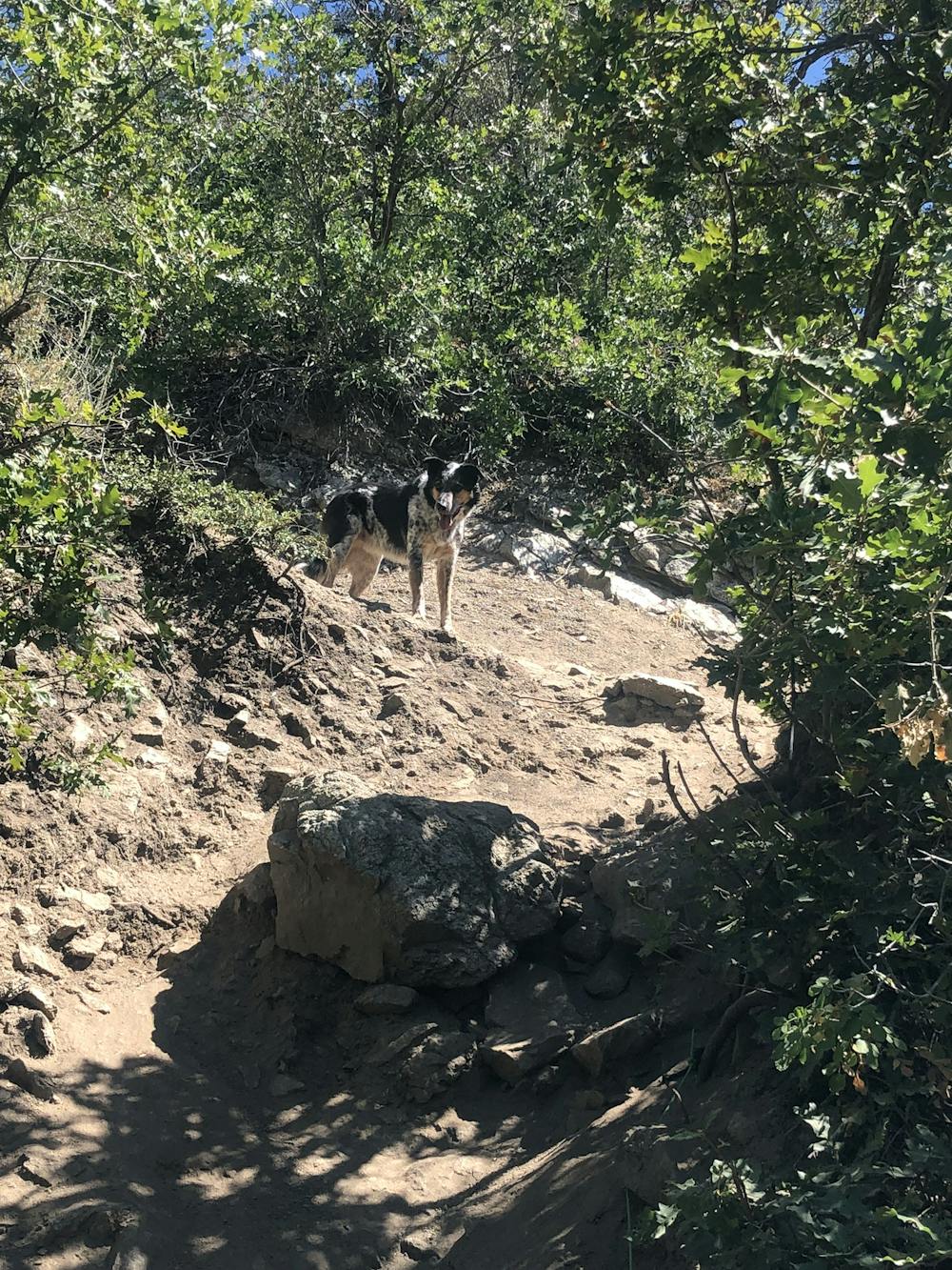
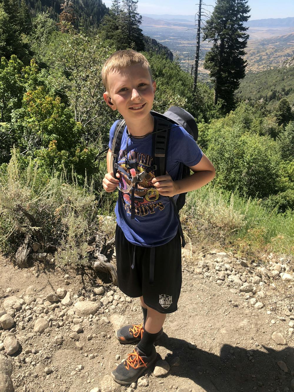
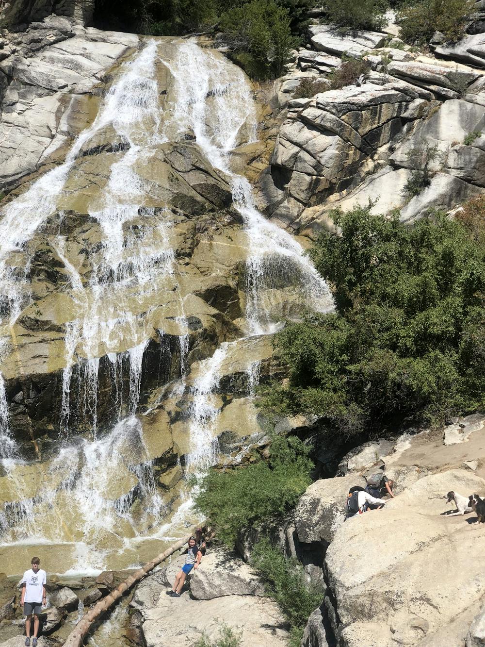
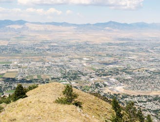
Worth the effort, starts with a straight climb, gets a little easier when the trail starts to wander a bit. Good water availability for the dog.
Difficult
Hiking trails where obstacles such as rocks or roots are prevalent. Some obstacles can require care to step over or around. At times, the trail can be worn and eroded. The grade of the trail is generally quite steep, and can often lead to strenuous hiking.
5.8 km away
The effort on this unique and worthwhile hike puts you on top of one of the tallest and most dramatic peaks in the Wasatch Range.
Extreme Hiking

10 routes · Hiking

10 routes · Alpine Climbing · Hiking