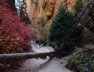
405 m away
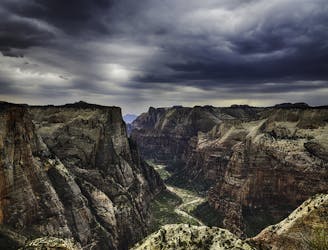
Canyon Overlook
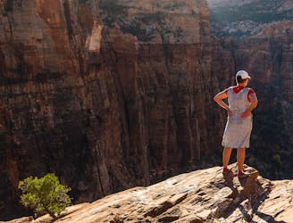
Short and sweet hike to sweeping views of lower Zion Canyon.
Moderate Hiking
- Distance
- 1.6 km
- Ascent
- 72 m
- Descent
- 72 m
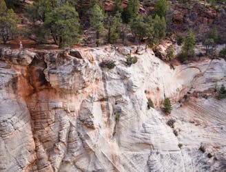
Off-trail hike leading to the mountain of the sun peak.
Hiking Severe

This is a popular hiking route which is generally considered to be severe. It's very remote, it features high exposure and is typically done between April and November. From a low point of 1.6 km to the maximum altitude of 2 km, the route covers 8.5 km, 827 vertical metres of ascent and 827 vertical metres of descent.
Off-trail hike with a little bit of scrambling, it takes you to the summit of MotS.
Severe
Hiking challenging trails where simple scrambling, with the occasional use of the hands, is a distinct possibility. The trails are often filled with all manner of obstacles both small and large, and the hills are very steep. Obstacles and challenges are often unexpected and can be unpredictable.

Some trail sections have exposed ledges or steep ascents/descents where falling could cause serious injury.
Little chance of being seen or helped in case of an accident.
405 m away
Short and sweet hike to sweeping views of lower Zion Canyon.
Moderate Hiking
2 km away
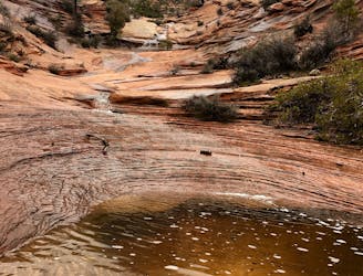
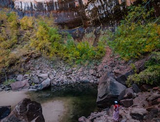
Easy off-trail adventure in a gorgeous side canyon of Zion National Park.
Difficult Hiking
4.4 km away
Short, easy trail between Zion Lodge and the Angels Landing Trail in the main area of Zion National Park.
Easy Hiking
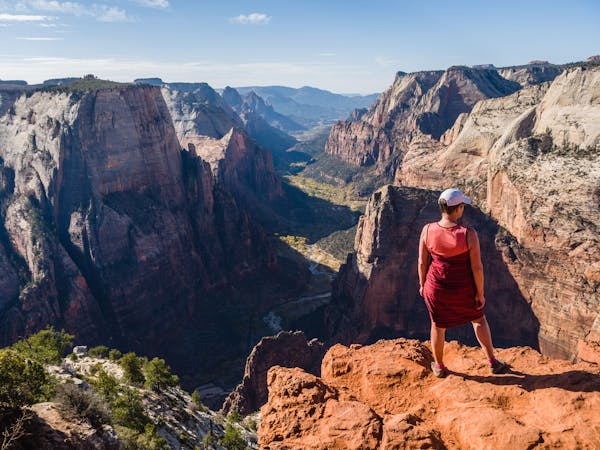
5.1 km away
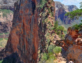
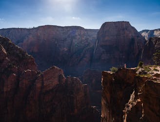
Zion National Park's iconic vertigo-inducing hike to a heavenly view.
Severe Hiking
5.1 km away
Spectacular journey from high elevation to low among Zion National Park's vertical canyon walls.
Difficult Hiking
5.1 km away
The West Rim Trail takes hikers away from the crowds.
Difficult Hiking
5.1 km away
The Emerald Pools provide a cool, refreshing oasis.
Moderate Hiking
5.6 km away
Solitude and splendor from the east entrance of Zion National Park.
Moderate Hiking
6.2 km away
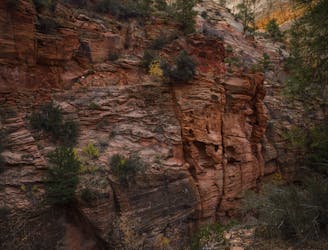
Hidden Canyon combines chains, scrambling and an arch.
Difficult Hiking
6.2 km away
This hike climbs four steep miles to a stunning overlook.
Difficult Hiking
11 routes · Hiking

25 routes · Alpine Climbing · Hiking

10 routes · Hiking

10 routes · Hiking
5 routes · Hiking

63 routes · Alpine Climbing · Hiking