3 m away
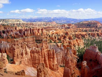
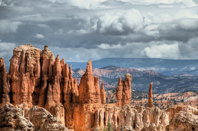
Peekaboo Loop from Bryce Point
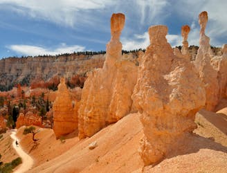
Marvel at a feast of rock formations along this twisting loop through the best of Bryce Canyon.
Difficult Hiking
- Distance
- 8.2 km
- Ascent
- 445 m
- Descent
- 445 m
Bryce Canyon’s premier backcountry trail, far from the crowds and with secluded campsites for backpackers.
Hiking Difficult

Bryce Canyon is well known for its sweeping overlooks and twisting trails among the hoodoos. It does not have many miles of trails, though, at least compared to other national parks. Consequently, backcountry hiking and camping are limited, but there is one great option for a multiday trip: the Under-the-Rim Trail. This route is 23 miles from Bryce Point to Rainbow Point, but it links with a handful of other trails to make shorter or longer variations possible.
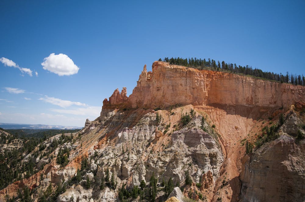
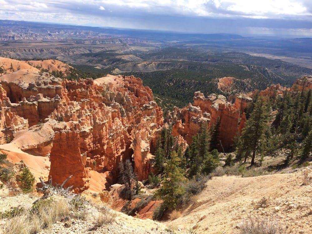
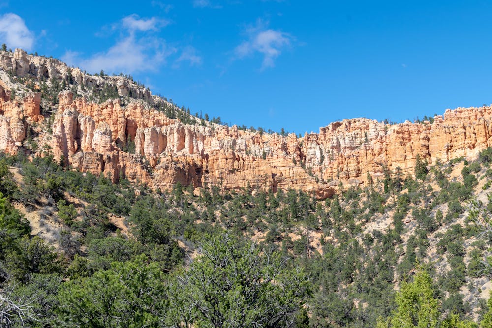
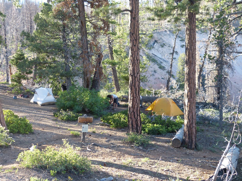
It is the park’s day hiking trails that tour the best of the rock formations and panoramas, so you won’t want to miss out on those when visiting Bryce. If you also want a backpacking trip away from the crowds, Under-the-Rim is the way to go. At either end of the trail, it begins with a steep descent off the plateau, then it meanders through pine forest and wildflower meadows, with frequent views toward colorful cliffs high above.
Camping is allowed only in designated sites, of which there are several. You must arrange a permit in advance, specifying the route and campsites you will use. Unlike many parks that issue them online, Bryce Canyon still does in-person permits only. You must show up at the visitor center within 48 hours of your trip to request it. Be sure to ask the rangers about water availability. There are natural springs along the route, but they aren’t always reliable. If you hike this trail as a point-to-point (as most do), you’ll need to have a plan for transportation as well. The park’s regular shuttle does not serve most of the trailheads for Under-the-Rim, so you might need to reserve a seat on the Rainbow Point Tour bus instead.
So, while there are some logistical hurdles to backpacking Under-the-Rim, they are less than what you’ll encounter in some other national parks. The preparation is well worth it to get off the beaten path in Bryce and to enjoy a moderate backpacking trip in the higher elevations of Southern Utah.
Sources: https://www.nps.gov/brca/planyourvisit/backcountryinfo.htm https://www.nps.gov/brca/planyourvisit/upload/BackcountryHikingBrochure2018.pdf
Difficult
Hiking trails where obstacles such as rocks or roots are prevalent. Some obstacles can require care to step over or around. At times, the trail can be worn and eroded. The grade of the trail is generally quite steep, and can often lead to strenuous hiking.

The trail contains some obstacles such as outcroppings and rock which could cause injury.

Little chance of being seen or helped in case of an accident.
3 m away
Marvel at a feast of rock formations along this twisting loop through the best of Bryce Canyon.
Difficult Hiking
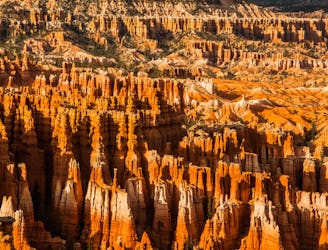
3 km away
The most popular hike in Bryce Canyon National Park.
Easy Hiking
5.1 km away
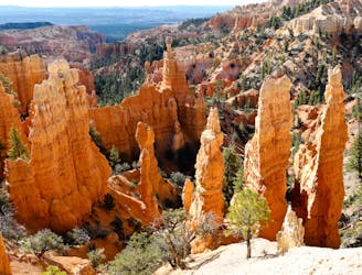
Let your imagination run wild among a maze of fantastically shaped hoodoos and other formations.
Difficult Hiking
5.1 km away
Take a short or long walk on the edge of the plateau, gazing over the entire Bryce Amphitheater from above.
Moderate Hiking

10 routes · Hiking
6 routes · Hiking

10 routes · Hiking
5 routes · Hiking

63 routes · Alpine Climbing · Hiking