3.2 km away
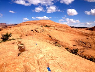
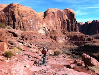
Slickrock Trail
One of the original world-famous mountain bike trails, the unique slickrock slabs provide an otherworldly ride experience
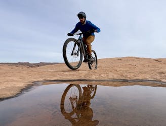
Severe Mountain Biking
- Distance
- 16 km
- Ascent
- 388 m
- Descent
- 388 m
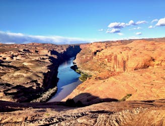
White Rim in a day, from Moab
Mountain Biking Difficult

This is a popular mountain biking route which is generally considered to be difficult. It's very remote, it features medium exposure and is typically done in March, April, September, October and November. From a low point of 1.2 km to the maximum altitude of 1.9 km, the route covers 270 km, 2948 vertical metres of ascent and 2948 vertical metres of descent.
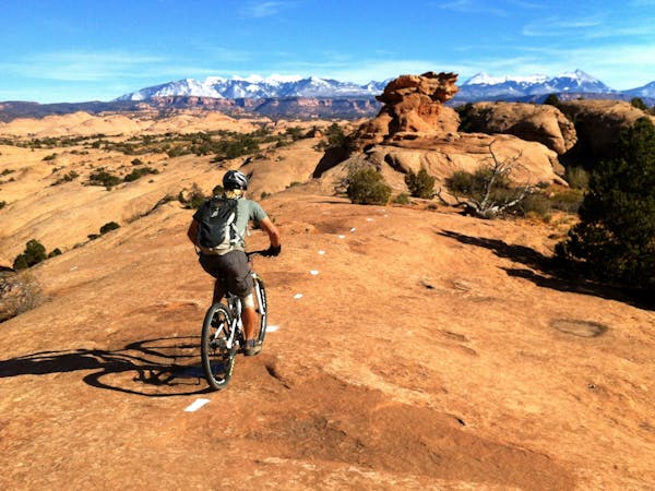
We start in town and do a BIG lollypop loop of the White Rim Trail
Difficult
Mostly stable trail tread with some variability featuring larger and more unavoidable obstacles that may include, but not be limited to: bigger stones, roots, steps, and narrow curves. Compared to lower intermediate, technical difficulty is more advanced and grades of slopes are steeper. Ideal for upper intermediate riders.

The trail contains some obstacles such as outcroppings and rock which could cause injury.

Little chance of being seen or helped in case of an accident.
3.2 km away
One of the original world-famous mountain bike trails, the unique slickrock slabs provide an otherworldly ride experience
Severe Mountain Biking
3.2 km away
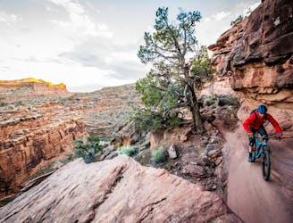
A fantastic change of pace from the classic Slickrock loop.
Severe Mountain Biking
6.3 km away
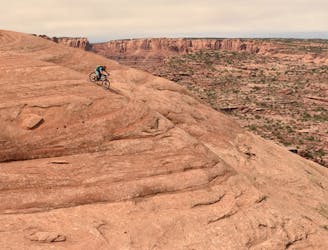
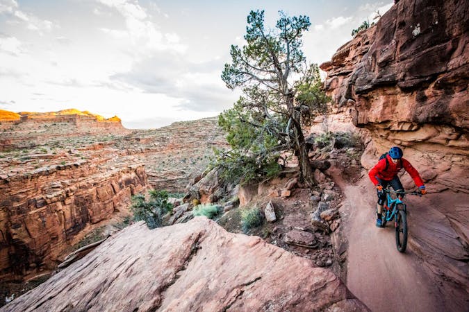
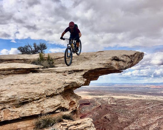
If death-defying ledge drops, massive boulders, narrow singletrack on top of a thousand-foot cliff, and jaw-dropping views constitute your idea of fun, then Rockstacker to Jackson's is for you!
Extreme Mountain Biking
6.4 km away
An incredible double loop covering several of the best mountain bike trails in the world!
Extreme Mountain Biking
6.6 km away
One of the original gnarly epics, the Amasa Back 4x4 trail still offers some serious gnar on the way down.
Severe Mountain Biking
6.6 km away
Captain Ahab combines the best new-school singletrack trail building techniques with Moab's famous views and challenging rocks for a classic mountain bike experience.
Extreme Mountain Biking
5 routes · Mountain Biking
20 routes · Mountain Biking

25 routes · Mountain Biking
4 routes · Mountain Biking · Hiking

37 routes · Mountain Biking
4 routes · Mountain Biking

25 routes · Mountain Biking

24 routes · Mountain Biking