112 m away
Dresden Face

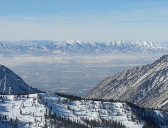
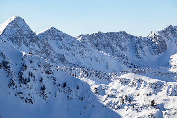
The Dresden is one of the longest and most continually steep faces in the Wasatch.
Severe Ski Touring
- Distance
- 658 m
- Ascent
- 0 m
- Descent
- 493 m

The Needle is about as steep and long as it gets, making it one of the most coveted and primo lines in the Wasatch.
Ski Touring Extreme

If you catch sight of this stunning line, you'll want to ski it. It's a chore to get to, but well worth the journey. From White Pine Trailhead follow the road then trail to Red Pine Canyon, cross the bridge and skin up into Maybird Drainage, head up and over the Maybird/Hogum Divide. From here ski down to the base of the Hypodermic Needle, boot directly up the Needle.
Skiing right off the ridge is mellow, but the chute rolls over and steepens to around 50 degrees and stays that way for over 1000 feet. In lean snow years there can be some rocks to negotiate near the top. The line is long and clean with plenty of time to savor the steep turns until the welcoming apron opens up and you're left with another thousand feet of great skiing. From here you might as well boot back up and exit out of Coalpit since you're in the neighborhood.
Extreme
Extreme skiing terrain above 45 degrees. These routes are reserved for experienced experts.
112 m away

The Dresden is one of the longest and most continually steep faces in the Wasatch.
Severe Ski Touring
1.5 km away

Probably the longest, most consistent rock-lined chute in the Wasatch if you're into that sort of thing.
Severe Ski Touring
5.4 km away

Scotty's is a classic north facing roadside attraction in upper Little Cottonwood Canyon.
Difficult Ski Touring
6.2 km away

Stairs Gulch is 4,000 feet long, serious with a combination of a steep, technical chute and a flat, more mellow finish.
Difficult Ski Touring

18 routes · Resort Ski Touring · Ski Touring