2.8 km away
Dresden Face

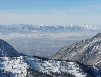
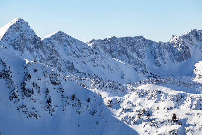
The Dresden is one of the longest and most continually steep faces in the Wasatch.
Severe Ski Touring
- Distance
- 658 m
- Ascent
- 0 m
- Descent
- 493 m

This is how to approach Lone Peak from the S via the town of Alpine.
Ski Touring Difficult

This trailhead sits at 5,300 feet. It is located at the N end of the town of Alpine. Take Exit 287 from I-15 and turn E onto Utah Highway 92. Continue E for 5.6 miles and reach a stoplight at 5300 West. Turn N towards Alpine and continue 1.8 more miles to reach 200 North. Turn right and go one block to a four-way intersection. Turn left onto Grove drive and you will reach a T intersection. Turn left onto Oakridge drive, and continue to Aspen drive. Continue on Aspen Drive to Aspen Grove after 9.7 miles from I-15. Parking is limited and the trailhead is unmarked. This trailhead provides access to the S slopes of Lone Peak via the 1st Hamongog (meadow) and the 2nd Hamongog.
Follow the road grade that turns into trails to the first and then 2nd hamongog. From the upper meadow keep heading N into the huge glacial valley. Continue skinning up it, trend to the left/W and gain the ridge. From the ridge, just continue along until hitting the S summit. From here you can continue out on the N face to the N summit (true summit). This is the start to the NE Couloir!
Difficult
Serious gradient of 30-38 degrees where a real risk of slipping exists.
2.8 km away

The Dresden is one of the longest and most continually steep faces in the Wasatch.
Severe Ski Touring
4.2 km away

Probably the longest, most consistent rock-lined chute in the Wasatch if you're into that sort of thing.
Severe Ski Touring
8.1 km away

Scotty's is a classic north facing roadside attraction in upper Little Cottonwood Canyon.
Difficult Ski Touring
8.5 km away

Stairs Gulch is 4,000 feet long, serious with a combination of a steep, technical chute and a flat, more mellow finish.
Difficult Ski Touring

18 routes · Resort Ski Touring · Ski Touring