637 m away
Dresden Face

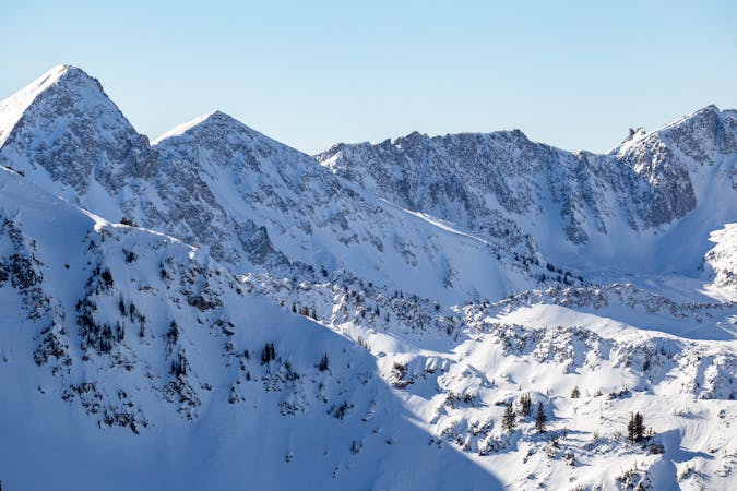
The Dresden is one of the longest and most continually steep faces in the Wasatch.
Severe Ski Touring
- Distance
- 658 m
- Ascent
- 0 m
- Descent
- 493 m

A steep and spicy chute that's a must if you've skied the other lines off of Thunder Ridge.
Ski Touring Extreme

To access, start from White Pine Trailhead follow the road then trail to Red Pine Canyon, cross the bridge and skin up into Maybird Drainage, head up and over the Maybird/Hogum Divide. From here ski down to the base of the Sliver, boot up the Sliver and head S along the ridge until you get to the entry of the chute.
This steep line starts with a hanging patch of snow that narrows into a rocky chute. The snow doesn't necessarily stick to the rocks so this might require a rappel to enter. You'll get a chance for a few very steep hop turns on some of the steepest skiable terrain in the Wasatch. The turns are short lived though as you'll come to the 75' rappel. There are two old pitons in the skiers left side of the wall. Bring a hammer because they have a tendency to loosen over time. Or, there is a large horn of rock you can loop webbing around to complete the rappel. The lower turns are steep and fun before you finish onto the wide open apron.
Extreme
Extreme skiing terrain above 45 degrees. These routes are reserved for experienced experts.
637 m away

The Dresden is one of the longest and most continually steep faces in the Wasatch.
Severe Ski Touring
2.3 km away

Probably the longest, most consistent rock-lined chute in the Wasatch if you're into that sort of thing.
Severe Ski Touring
5.7 km away

Scotty's is a classic north facing roadside attraction in upper Little Cottonwood Canyon.
Difficult Ski Touring
7 km away

Stairs Gulch is 4,000 feet long, serious with a combination of a steep, technical chute and a flat, more mellow finish.
Difficult Ski Touring

18 routes · Resort Ski Touring · Ski Touring