2.4 km away
God's Lawnmower

This is the huge avalanche path that's visible from the road on the N slope of Kessler Peak.
Difficult Ski Touring
- Distance
- 2 km
- Ascent
- 2 m
- Descent
- 946 m
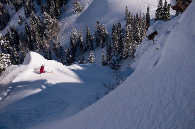
This it the easiest approach to Mount Raymond from Big Cottonwood Canyon.
Ski Touring Difficult

Park 8.2 miles up the Big Cottonwood Canyon Road on the left side at the Butler Fork Trailhead. Follow the tight gully and the summer trail up and over the bridge. Just past the bridge you'll encounter a trail sign and or junction. From here head to the left up towards Circle All Peak. The trail switches back up through the aspen trees, or continues up the gully to the ridge. Once on the ridge head to the right/SW through the aspen grove. Drop down a little into the valley, or contour around the lower flanks of the mountain. Head for the large saddle between Gobblers Knob and Mount Raymond. Head to the W staying on the ridge for safest travel. It's a nice broad ridge until you get higher up, it gets rocky and covered in trees making it a little sporty to get all the way to the summit. Persevere and you'll find yourself with a great view standing on top of a great line!
Difficult
Serious gradient of 30-38 degrees where a real risk of slipping exists.

Exposure is limited to that of the slope itself. Getting hurt is still likely if the slope is steep and/or the snow is hard.

Little chance of being seen or helped in case of an accident.
2.4 km away
This is the huge avalanche path that's visible from the road on the N slope of Kessler Peak.
Difficult Ski Touring
2.8 km away

A big fun run off of Kessler Peak with some great chute and trees skiing involved.
Difficult Ski Touring
3.7 km away

Virginia Slims is the fun dogleg chute next to the more popular Old Growth chute in the lower reaches of Cardiff Fork.
Difficult Ski Touring
4 km away

Old Growth chute is a mini classic that provides great rock wall lined ambience and easy access.
Difficult Ski Touring
7.4 km away

Major Tom is a steep and sporty couloir in a remote corner of the Wasatch that can have a few rappels to navigate!
Extreme Ski Touring
7.8 km away

Stairs Gulch is 4,000 feet long, serious with a combination of a steep, technical chute and a flat, more mellow finish.
Difficult Ski Touring
8.3 km away

Access from Brighton to backcountry zones like Patsy Marley and Wolverine Cirque.
Moderate Ski Touring
9.2 km away

Memorial #1 is a very long and clean chute that runs off the ridge of the S summit of Mount Olympus.
Difficult Ski Touring
9.4 km away

Tolcat Canyon is the large and prominent chute that splits the N and S summits of Mount Olympus.
Difficult Ski Touring
9.4 km away

Memorial #3 is one of the classic steep lines on the backside of Mount Olympus with large dramatic rock lined walls.
Difficult Ski Touring
9 routes · Resort Ski Touring · Ski Touring