2.5 km away
Dresden Face

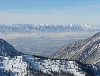
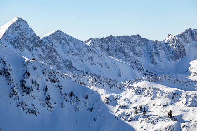
The Dresden is one of the longest and most continually steep faces in the Wasatch.
Severe Ski Touring
- Distance
- 658 m
- Ascent
- 0 m
- Descent
- 493 m

For those who have braved the NW couloir and are looking for something steeper and more exposed, this is the next level in steep skiing.
Ski Touring Extreme

To access, start at the White Pine trailhead 4.6 miles up Little Cottonwood Canyon on the right hand side. Follow the trail over into Red Pine Canyon and either proceed up Red Pine to the Pfeifferhorn Ridge, or cross the stream and climb into Maybird Gulch to access the Pfeifferhorn.
This line starts right off the Pfeifferhon's summit heading in the NE direction. In big years the fall line chute fills in and can be skied directly to the large rappel. This chute is over 50 degrees and gets very narrow. In leaner times one can ski down the north ridge and then traverse to the skiers right into the lower portion of the chute and then down to the rappel. Two solid bolts are anchored into the large boulder to the skier right. A single rap off a full length rope will deposit you onto the apron. This is a short and spicy run with serious exposure.
Extreme
Extreme skiing terrain above 45 degrees. These routes are reserved for experienced experts.
2.5 km away

The Dresden is one of the longest and most continually steep faces in the Wasatch.
Severe Ski Touring
3.3 km away

Probably the longest, most consistent rock-lined chute in the Wasatch if you're into that sort of thing.
Severe Ski Touring
4.3 km away

Scotty's is a classic north facing roadside attraction in upper Little Cottonwood Canyon.
Difficult Ski Touring
7.7 km away

Stairs Gulch is 4,000 feet long, serious with a combination of a steep, technical chute and a flat, more mellow finish.
Difficult Ski Touring

18 routes · Resort Ski Touring · Ski Touring