2.6 km away
Dresden Face

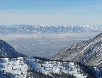
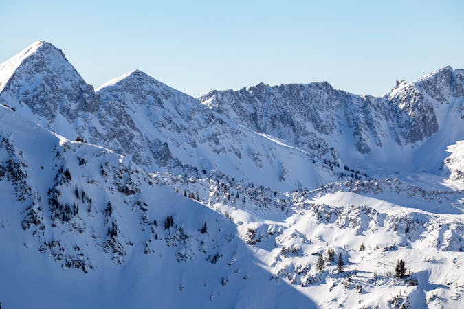
The Dresden is one of the longest and most continually steep faces in the Wasatch.
Severe Ski Touring
- Distance
- 658 m
- Ascent
- 0 m
- Descent
- 493 m

The SE ridge is a great ski run and the only way off the Pfeifferhorn without rappelling.
Ski Touring Difficult

Access the Pfeifferhorn SE Ridge by starting at the White Pine trailhead 4.6 miles up Little Cottonwood Canyon on the right hand side. Follow the trail over into Red Pine Canyon and either proceed up Red Pine to the Pfeifferhorn Ridge, or cross the stream and climb into Maybird Gulch to access the Pfeifferhorn.
Skiing the SE Ridge is done by backtracking down the standard climbing route. It starts off the summit where one can ski the S face, or stick closer to the E ridge. Skiing is in the lower 40 degree range, but a large cliff below keeps you honest and concentrated. Trend skiers left and meet up with the ridge. From here you can drop down into Maybird Gulch, or continue E along the ridge into Red Pine.
Difficult
Serious gradient of 30-38 degrees where a real risk of slipping exists.
2.6 km away

The Dresden is one of the longest and most continually steep faces in the Wasatch.
Severe Ski Touring
3.3 km away

Probably the longest, most consistent rock-lined chute in the Wasatch if you're into that sort of thing.
Severe Ski Touring
4.2 km away

Scotty's is a classic north facing roadside attraction in upper Little Cottonwood Canyon.
Difficult Ski Touring
7.8 km away

Stairs Gulch is 4,000 feet long, serious with a combination of a steep, technical chute and a flat, more mellow finish.
Difficult Ski Touring

18 routes · Resort Ski Touring · Ski Touring