476 m away
Dresden Face

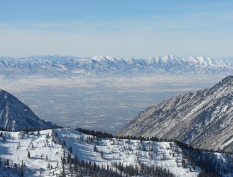
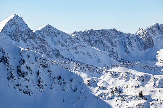
The Dresden is one of the longest and most continually steep faces in the Wasatch.
Severe Ski Touring
- Distance
- 658 m
- Ascent
- 0 m
- Descent
- 493 m

One of the long classic lines hidden deep in the Wasatch.
Ski Touring Difficult

From White Pine trailhead follow the road then trail to Red Pine Canyon, cross the bridge and skin up into Maybird Drainage, head up and over the Maybird/Hogum Divide. From here ski down to the base of The Sliver, and boot up The Sliver.
At the top of Thunder ridge find the entry which holds a small patch of small scrubby pine trees. Work through the trees which is the crux. This is a 1,700 foot run that starts at 45 degrees and mellows out into the thirties. The chute lessens in pitch and opens up nicely allowing bigger and faster turns as you descend into the glorious finishing bowl.
Difficult
Serious gradient of 30-38 degrees where a real risk of slipping exists.
476 m away

The Dresden is one of the longest and most continually steep faces in the Wasatch.
Severe Ski Touring
2.1 km away

Probably the longest, most consistent rock-lined chute in the Wasatch if you're into that sort of thing.
Severe Ski Touring
5.6 km away

Scotty's is a classic north facing roadside attraction in upper Little Cottonwood Canyon.
Difficult Ski Touring
6.8 km away

Stairs Gulch is 4,000 feet long, serious with a combination of a steep, technical chute and a flat, more mellow finish.
Difficult Ski Touring

18 routes · Resort Ski Touring · Ski Touring