21 m away
Narrow Chute Right

A challenging narrow chute above an open bowl
Extreme Freeride Skiing
- Distance
- 83 m
- Ascent
- 0 m
- Descent
- 57 m
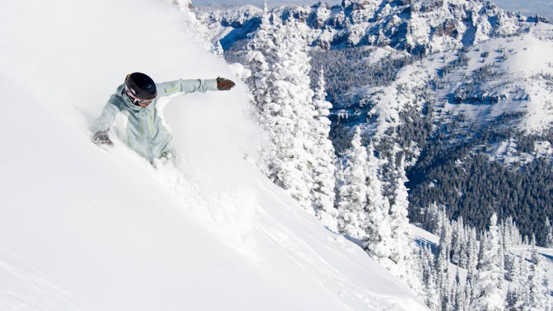
A steep glade that opens into Avalanche Basin
Freeride Skiing Difficult

A steep glade that opens into Avalanche Basin, Crystal Col consists of a broad face dotted with trees and narrow gullies. Watch out for cornices that form on the ridge. Drop into one of the many entrance points along the ridge. While the upper section of this run is steep, mandatory air is not necessary. Pick your way through the small alpine firs into the broad open bowl below, where you can enjoy 500 vertical feet to the bottom of upper Avalanche Basin. Either follow the traverse to Damn Fine Forest to the right or veer left into the trees to the bottom of Chair 6. Access from either Southback gate along the Throne ridge bootpack. Traverse around the back of the Throne to Avalanche Basin (A-Basin). Crystal Col is the relatively broad face heading into A-Basin just as the traverse turns more uphill heading towards Kirner's Cornice.
Difficult
Serious gradient of 30-38 degrees where a real risk of slipping exists.

As well as the slope itself, there are some obstacles (such as rock outcrops) which could aggravate injury.
Away from help but easily accessed.
21 m away
A challenging narrow chute above an open bowl
Extreme Freeride Skiing
58 m away

A beautiful hourglass couloir above a wide bowl.
Severe Freeride Skiing
81 m away

A prominent rocky buttress offering numerous lines, mostly requiring mandatory air.
Severe Freeride Skiing
82 m away

This open run drops into a wide bowl
Difficult Freeride Skiing
125 m away

A narrow, curving couloir guarded by large buttresses on either side.
Difficult Freeride Skiing
261 m away

A steep cliff requiring mandatory air.
Extreme Freeride Skiing
261 m away

This rarely explored, deep couloir is too narrow for most experts. Usually this gully is jumped in competitions.
Extreme Freeride Skiing
287 m away

A steep, rocky face for experienced experts
Extreme Freeride Skiing
297 m away

A steep, rocky face reserved for experienced experts
Extreme Freeride Skiing
301 m away

This iconic and challenging couloir is for experts only.
Severe Freeride Skiing
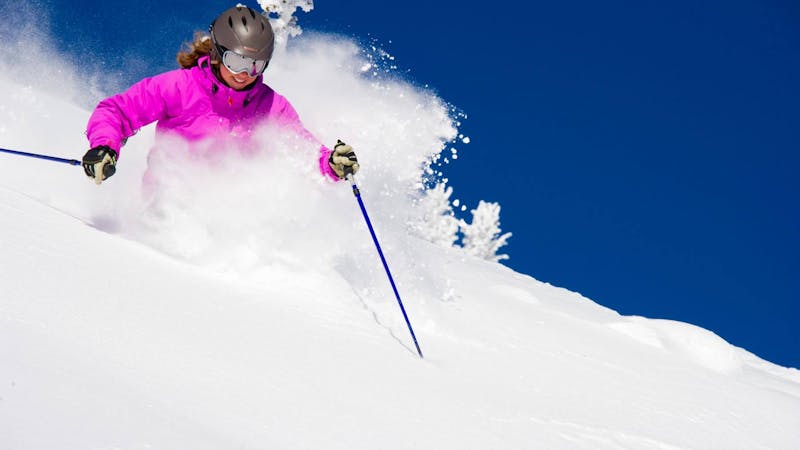
13 routes · Freeride Skiing · Ski Touring
14 routes · Freeride Skiing · Ski Touring