FATMAP by Strava

Pacific Crest Trail: Washington

Crystal Mountain

Mount Rainier National Park

The entire Washington segment of the Pacific Crest Trail.

Also in British Columbia, CanadaOregon, United States of America

Hiking Difficult

Distance
783 km
Ascent
21 km
Descent
20 km
Duration
1 day +
Low Point
46 m
High Point
2.1 km
Gradient
Pacific Crest Trail: Washington Map

"Stretching from dusty desert on the Mexican border, across snowy mountains in California, to chilly and rainy forests at the Canadian border, the Pacific Crest Trail travels through an overwhelming array of environments and covers a daunting distance of 2,650 miles," writes Jesse Weber. "It tours some of the American West's most iconic and wild scenery: the sky islands of Southern California, the tallest mountain in the contiguous United States, Yosemite and other national parks of the Sierra Nevada, the giant volcanoes of the Cascade Range, and the Columbia River Gorge. A thru hike earns all this scenery plus the distinguishment of traveling on foot from one international border to another, across the entire north-south span of the western United States."

Description

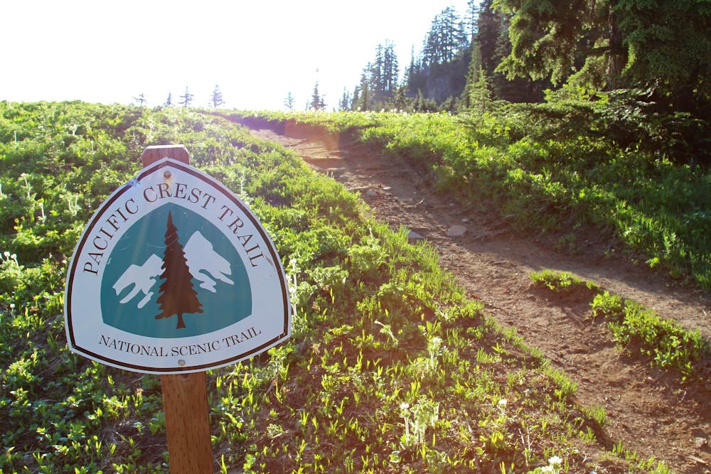
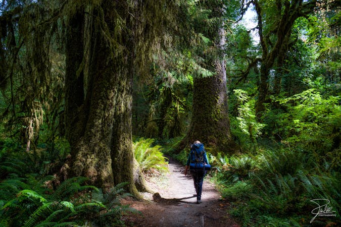
Through hiking the entire Pacific Crest Trail would dominate the majority of a year, making it a difficult endeavor for most hikers to even get that amount of time off of work. Tackling a shorter section of the PCT can still make for an epic adventure, and many hikers choose to break the trail down by state. Even though Washington and Oregon aren't nearly as long as California, the Washington section of the PCT still covers a whopping 487 miles of ground!

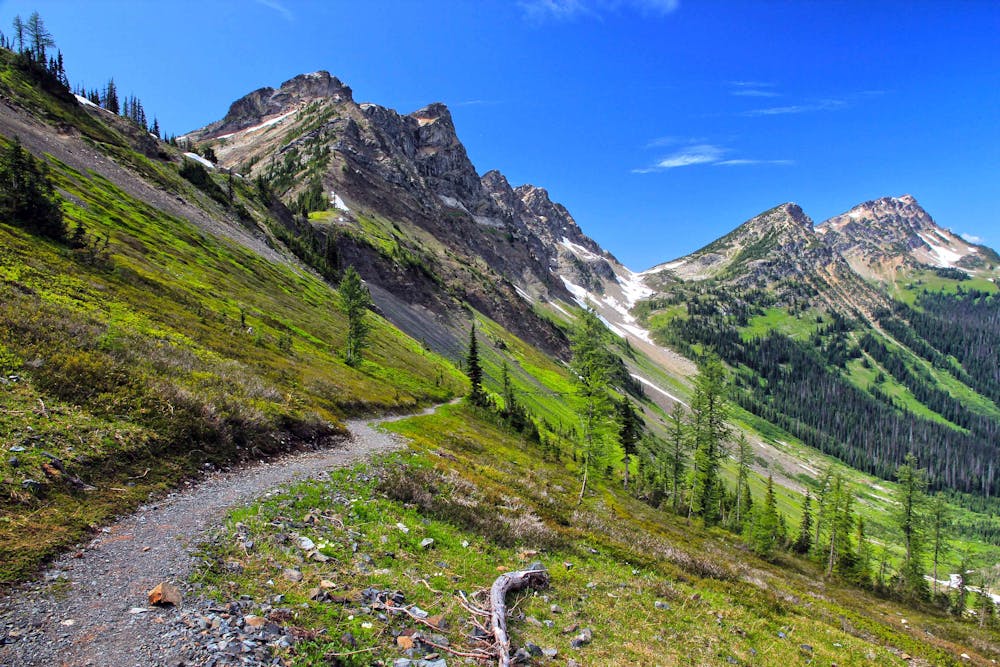
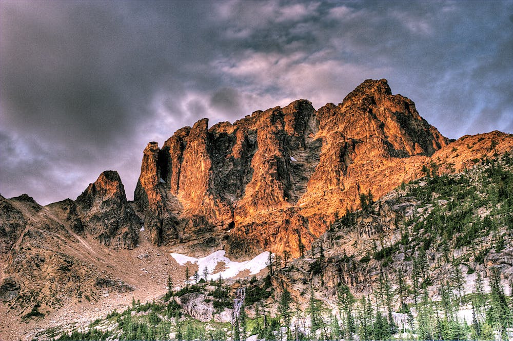
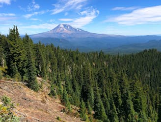
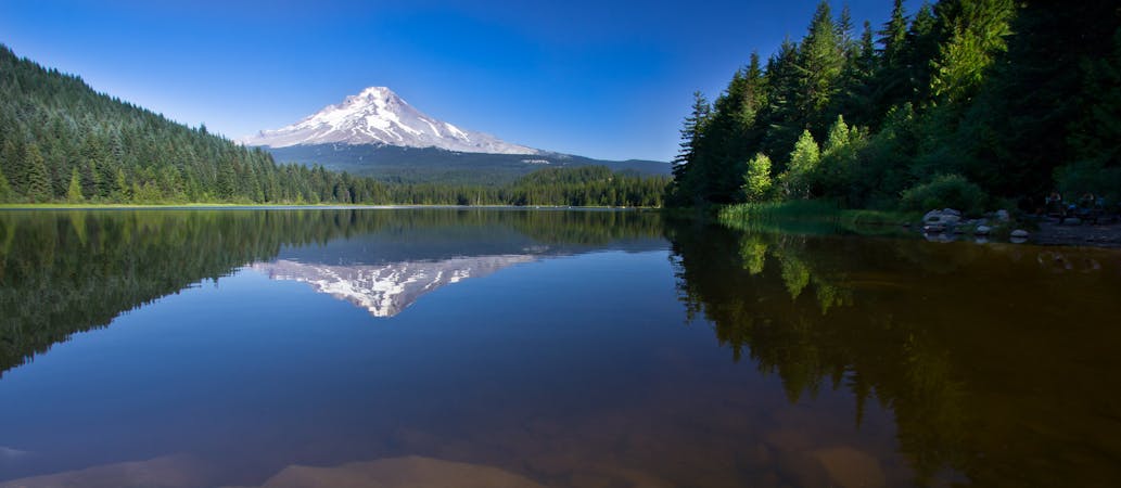
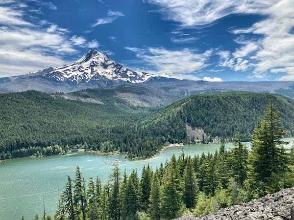
The Washington Section is dominated by towering trees and rugged mountains: the North Cascades. This mountain range provides one of the most difficult challenges found on the Pacific Crest Trail. "Not only is the North Cascades Range rugged, it is the wettest along the route, lying in a storm track most of the year," according to the Pacific Crest Trail Association. "This precipitation has produced about 750 perennial snowfields and small glaciers, which collectively account for about half the snowfield area in the lower 48 states," they continue.

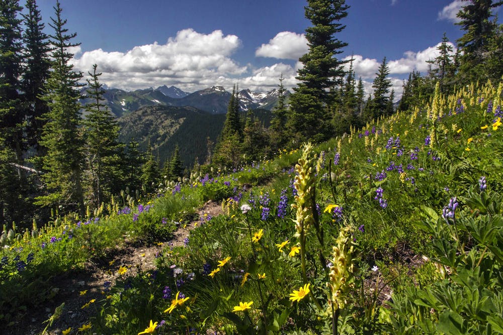
While the North Cascades aren't nearly as high as the Sierras, backpackers will still cross several high passes and traverse high mountain ridges. "Lakeview Ridge (elev. 7,126′) is the highest and is located only eight miles before the Canadian border," according to the PCTA.

Completing all 487 miles of the Washington section of the Pacific Crest Trail is a worthy accomplishment that any backpacker can be proud of!

Sources: https://fatmap.com/routeid/39877/PacificCrestTrail https://www.pcta.org/discover-the-trail/geography/washington/

Difficulty

Difficult

Hiking trails where obstacles such as rocks or roots are prevalent. Some obstacles can require care to step over or around. At times, the trail can be worn and eroded. The grade of the trail is generally quite steep, and can often lead to strenuous hiking.

Medium Exposure

2 out of 4

The trail contains some obstacles such as outcroppings and rock which could cause injury.

Remoteness

4 out of 4

In the high mountains or remote conditions, all individuals must be completely autonomous in every situation.

Best time to visit

between July and September

Features

  • Alpine
  • Picturesque
  • Forestry or heavy vegetation

Similar routes nearby

Guidebooks in this area