2 m away
Cougar Mountain Loop
One of the best trail systems near the Seattle suburbs.
Moderate Hiking
- Distance
- 12 km
- Ascent
- 360 m
- Descent
- 360 m
An easy, peaceful hike remarkably close to the Seattle suburbs
Hiking Easy

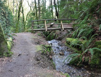
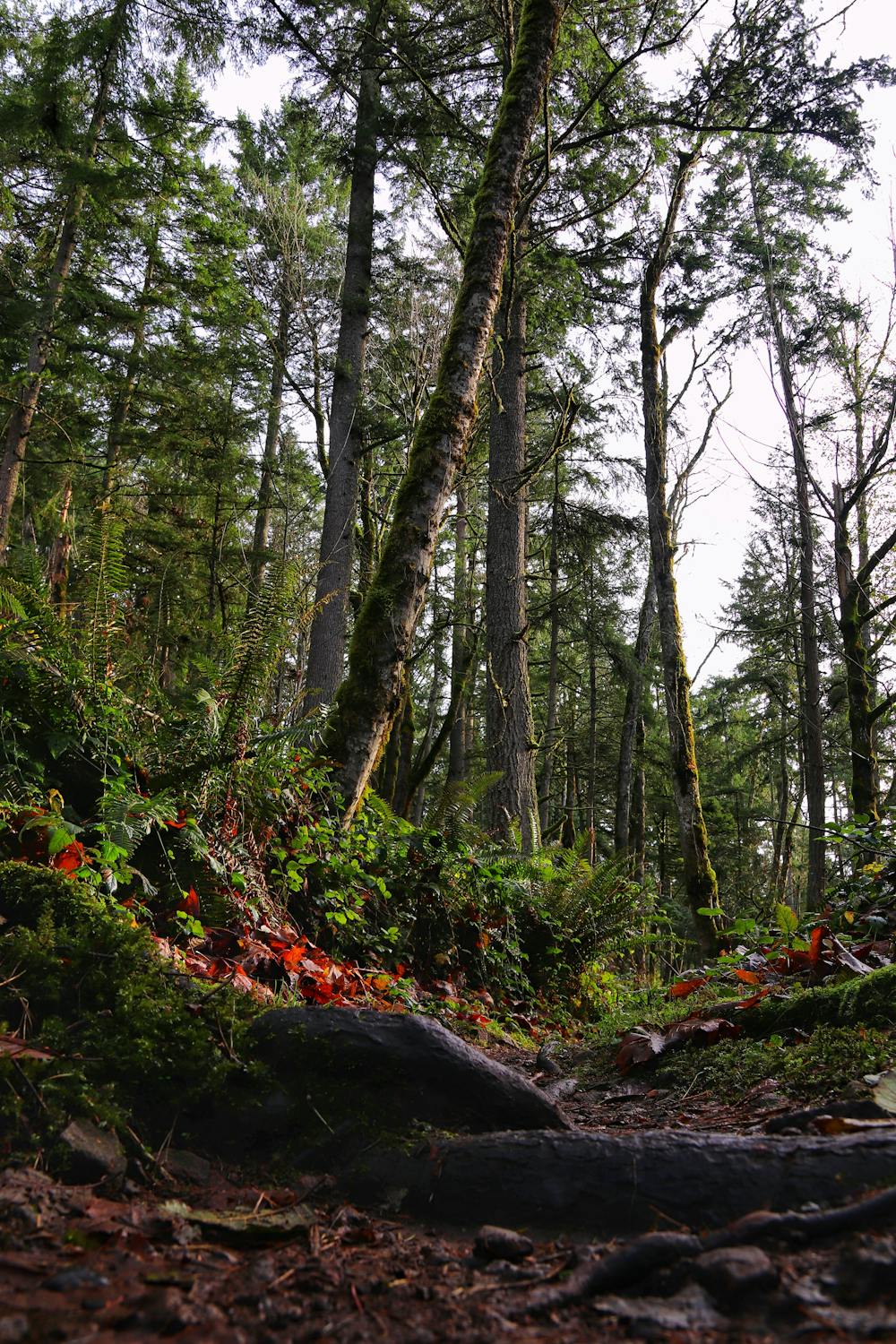
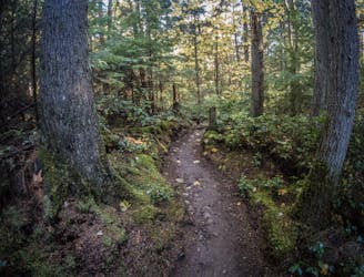
With a maze of perfectly built trails, the area around Cougar Mountain is one of the best hiking spots near Seattle. All of the trails are excellent, but the Red Town Trail is arguably the most famous of the lot, and hiking it is a great way to start exploring the area.
There is a designated parking lot for the trail and it's only a short drive from Bellevue, Seattle and Mercer Island, so there are no logistical issues to solve. Make a short drive, park up and set off to explore peaceful, forested trails - couldn't be much simpler!
Once you've hiked the Red Town Trail it's possible to return the same way, but dropping onto the Wildside Trail and following this back to the parking lot is a great way of turning the hike into a loop.
Easy
Walking along a well-kept trail that’s mostly flat. No obstacles are present.

The path is on completely flat land and potential injury is limited to falling over.
Close to help in case of emergency.
2 m away
One of the best trail systems near the Seattle suburbs.
Moderate Hiking
7.8 km away
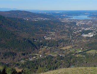
This grassy knoll on the shoulder of West Tiger Mountain provides beautiful views of Mt. Rainier and the nearby suburbs.
Moderate Hiking
8.1 km away

A remote-feeling hike just minutes from downtown Seattle.
Difficult Hiking
9.4 km away
A point-to-point multi-use trail connecting Duthie Hill and West Tiger
Moderate Hiking

10 routes · Hiking

5 routes · Hiking