7.3 km away
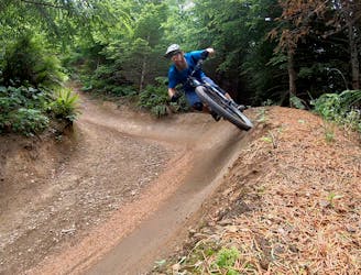
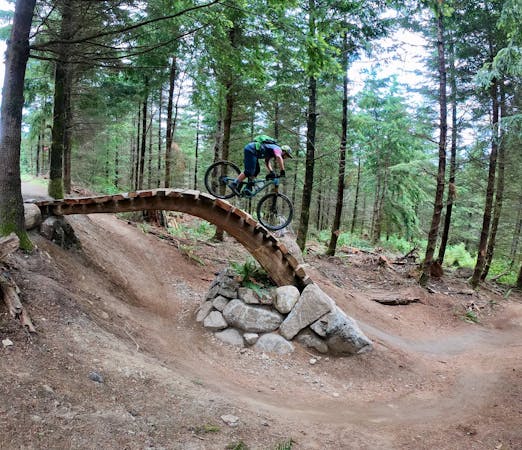
Galbraith Mountain Beginner Loop
Build your skills on this mellow, flowy singletrack loop.
Easy Mountain Biking
- Distance
- 8.1 km
- Ascent
- 101 m
- Descent
- 101 m
On this high-value loop, you'll pass a beautiful waterfall, idyllic Fragrance Lake, and traverse a beautiful stretch of singletrack.
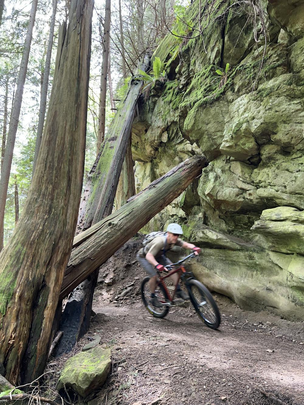
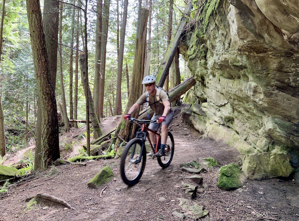
Mountain Biking Moderate

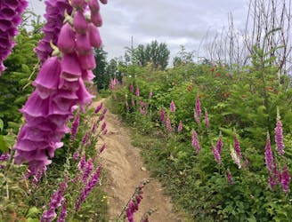
The Chuckanuts zone is renowned for its steep, gnarly riding on trails such as Double Black and Double Down. But it's also possible to link up a classic cross country ride through the network that offers moderate singletrack while visiting some of the best natural features. On this high-value loop, you'll pass a beautiful waterfall, idyllic Fragrance Lake, and traverse a beautiful stretch of singletrack.
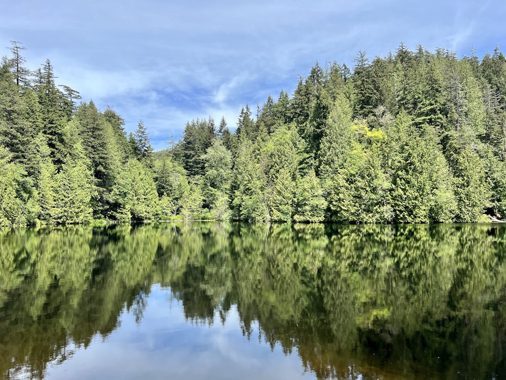
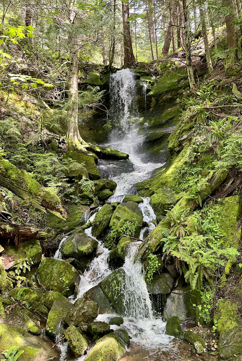
The ride begins by climbing the gated Fragrance Lake Road. While the climb is steep in places, it's generally manageable for most riders. Thanks to the gate at the bottom, you will thankfully be able to avoid vehicle traffic. About two-thirds of the way up, you'll pass the aforementioned waterfall, which is one of the most beautiful falls in the Bellingham area. This towering cascade is truly magical!
When you reach the Fragrance Lake Trail, be sure to ride cautiously, as this area is popular with hikers. It's still well-worth circling the lake, as you'll enjoy gorgeous views of this small body of water surrounded by towering trees. Once you turn onto Two Dollar, most of the crowds will disappear.
Once on Two Dollar, the climbing pays off big time! This smooth, flowy singletrack rolls up and down the mountainside, undulating along a gorgeous benchcut. A couple of sharp descending switchbacks will keep you on your toes, but other sections of the trail are just fast and wide-open fun! This trail is also largely non-technical and is quite approachable for competent beginner riders.
After swooping through a series of stacked switchbacks, you'll pop out onto a gravel road that is open to vehicle traffic. A high-speed bomb down the gravel awaits, and you can really open it up and rip! Just be sure to watch for oncoming car traffic.
At the bottom of the steep hill, take a left onto the Interurban Trail to return to the trailhead at Larrabee State Park.
Moderate
Mostly stable trail tread with some variability, with unavoidable obstacles 8in/20cm tall or less. Other obstacles such as rock gullies and steep sections may exist. Ideal for lower intermediate riders.

The trail contains some obstacles such as outcroppings and rock which could cause injury.
Away from help but easily accessed.
7.3 km away
Build your skills on this mellow, flowy singletrack loop.
Easy Mountain Biking
7.3 km away
The biggest and baddest jumps on Galbraith!
Severe Mountain Biking
7.3 km away
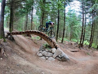
Unemployment Line is Galbraith's marquee jump trail, and is largely responsible for Galbraith's international fame.
Severe Mountain Biking
5 routes · Mountain Biking

16 routes · Mountain Biking

10 routes · Mountain Biking
5 routes · Mountain Biking