1.8 km away
Flett Glacier Headwall and Pleasant Peak Camp
Making the most out of a low snow year getting into the Northwest side of Mount Rainier
Difficult Ski Touring
- Distance
- 29 km
- Ascent
- 2.1 km
- Descent
- 2.1 km
A midwinter basecamp trip into the Mowich Lake Zone during the
Ski Touring Difficult

The Mowich lake area on the Northwestern corner of Mount Rainier is a stunning ski touring area rarely ventured into during winter months if only because of the long approach. Being that the road ascending into the area is snow covered until late July if you are willing to skin more than 5 miles just to get there you are almost guaranteed to have the place to yourself. Once on the shores you have numerous different directions to go ski touring with the only limit being your imagination. Below is one of my many adventures visiting this area mid winter.
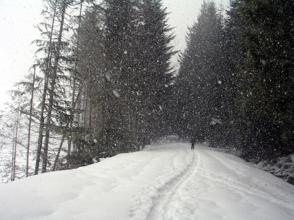
Driving up the Mowich Lake road it is not uncommon to be blocked by snow around the Evans Creek 4wd turn off. Starting there you have a long approach ahead of you skinning on a relatively flat road until it wraps around and into the Meadow Creek Basin. Climbing up to Mowich Lake you have 2 separate options 1st you can just keep following the road or 2nd you can attempt to climb within the forests loosely following the summer trail which is a bit more complicated but also relatively easy as it just cuts off the roads switchbacks. Once over the col keep following said road down to Mowich Lakes outflow where it is the perfect camping area and basecamp.
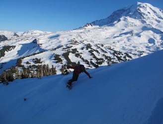
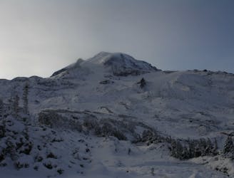
Being early season in February you can feel confident skinning on the lake making our way East towards Knapsack Pass, but if later or you feel uncomfortable just follow the shoreline on the Knapsack Pass trail. Once at the main outflow of Knapsack Pass make your way through the woods on its lookers right before arriving in the alpine and heading directly up to the pass with a few well placed switchbacks. Standing on the low col transition over and make your way down to the flats of Mist Park and take in the stunning view of Mount Rainier to the south. From here start skinning South towards Mount Pleasant but make sure to give a bit of space between you and the steep slopes just west until arriving at the base of Mount Pleasant.
Once at the Northeast Basin of Mount Pleasant work with the terrain first heading up to the mid basin flat bench before doing a low traverse Southeast to the Eastern Ridge before heading up to the summit. From here ride down the nice and open Northeast slopes back to your skin track. With limited daylight during the winter we decided to head back to Knapsack Pass with the only semi complicated section being skinning the steep slopes to the low col.
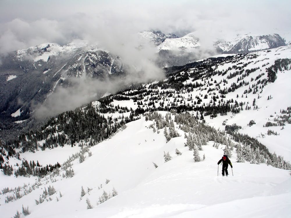
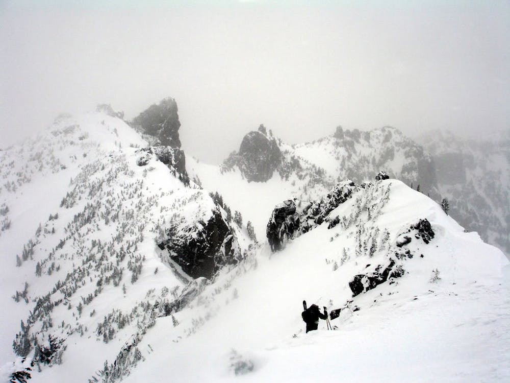
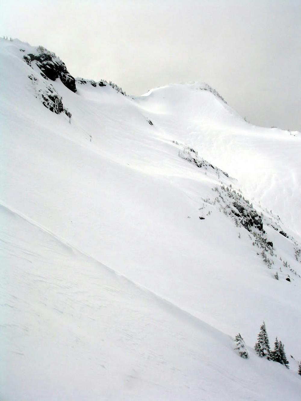
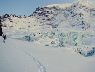
Once there put on the crampons and do a semi technical scramble climbing just below the North ridge of Fay Peak wrapping around the rock band before making your way directly up to the ridge. From here it is a mellow and scenic traverse until standing on top of the Northwest bowl. Before dropping in make sure that the snow is stable as this zone can slab big with the debris ending in a flat AKA it is a terrain trap. When and if you feel confident drop in and once riding down to the semi flat section make sure to keep your speed. Once you’re just above the final roller dropping to Mowich Lake make sure to stay skiers left of the main drainage and soon enough you will be back on the lake. Now head back to camp and prepare for a long exit.
When it comes to exiting the best way to do it in my opinion is make your way back up to the Mowich Road Col before descending down the trees to the road below. After arriving on the road the terrain below is quite flat so I would just stay on it putting my head down and slogging for hours on end.
To see my trip in the area and more photos check out this link https://www.whereiskylemiller.com/mt-rainier/mowich-lake/
Difficult
Serious gradient of 30-38 degrees where a real risk of slipping exists.

As well as the slope itself, there are some obstacles (such as rock outcrops) which could aggravate injury.

Little chance of being seen or helped in case of an accident.
1.8 km away
Making the most out of a low snow year getting into the Northwest side of Mount Rainier
Difficult Ski Touring
5.2 km away
Another option for early season powder conditions
Easy Ski Touring
6.9 km away
A mid-winter traverse on the North Side of Mount Rainier
Difficult Ski Touring
6.9 km away
Crossing the northern portion of Mount Rainier National Park
Difficult Ski Touring

11 routes · Ski Touring