45 m away
The Osceola Traverse
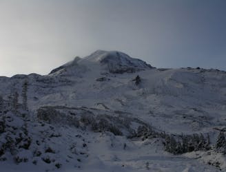
A mid-winter traverse on the North Side of Mount Rainier
Difficult Ski Touring
- Distance
- 49 km
- Ascent
- 5.4 km
- Descent
- 4.6 km
Crossing the northern portion of Mount Rainier National Park
Ski Touring Difficult

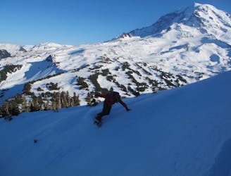
This is one of those ski tours when the resorts are closed and you are looking to go out on a unique mission. With the snow melted out in the valleys but still thick up high this is a mixture of ski tour and hiking with skis. It is best to do over a few days as your shoulders will thank you but once it is all done you won’t remember the pain as much as riding around the North side of Mount Rainier.
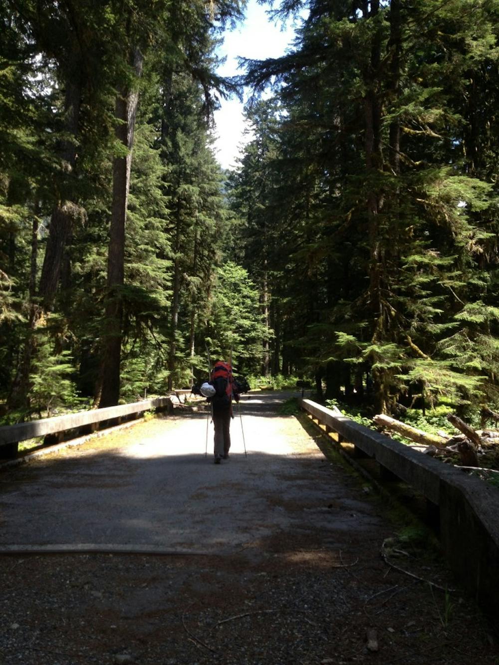
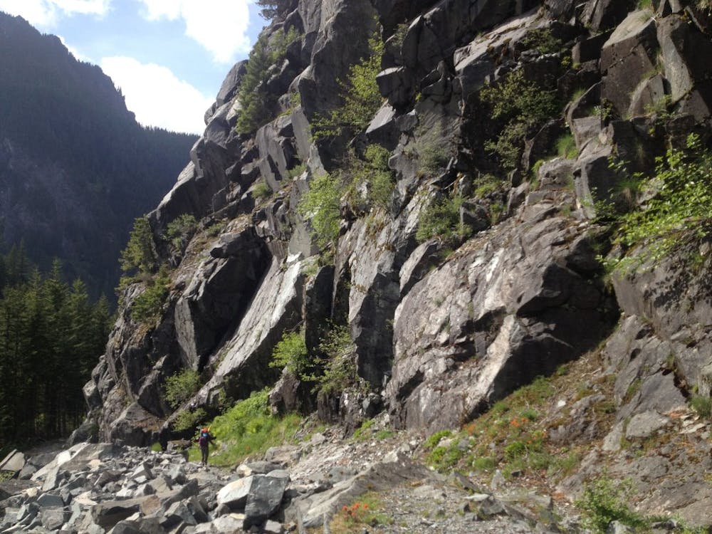
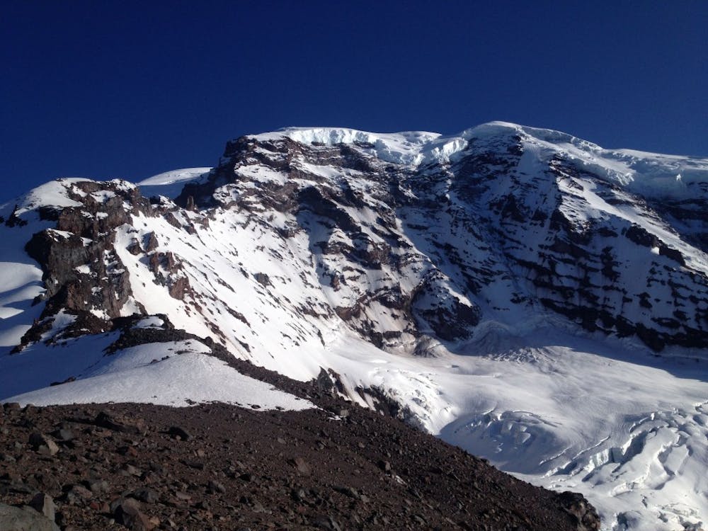
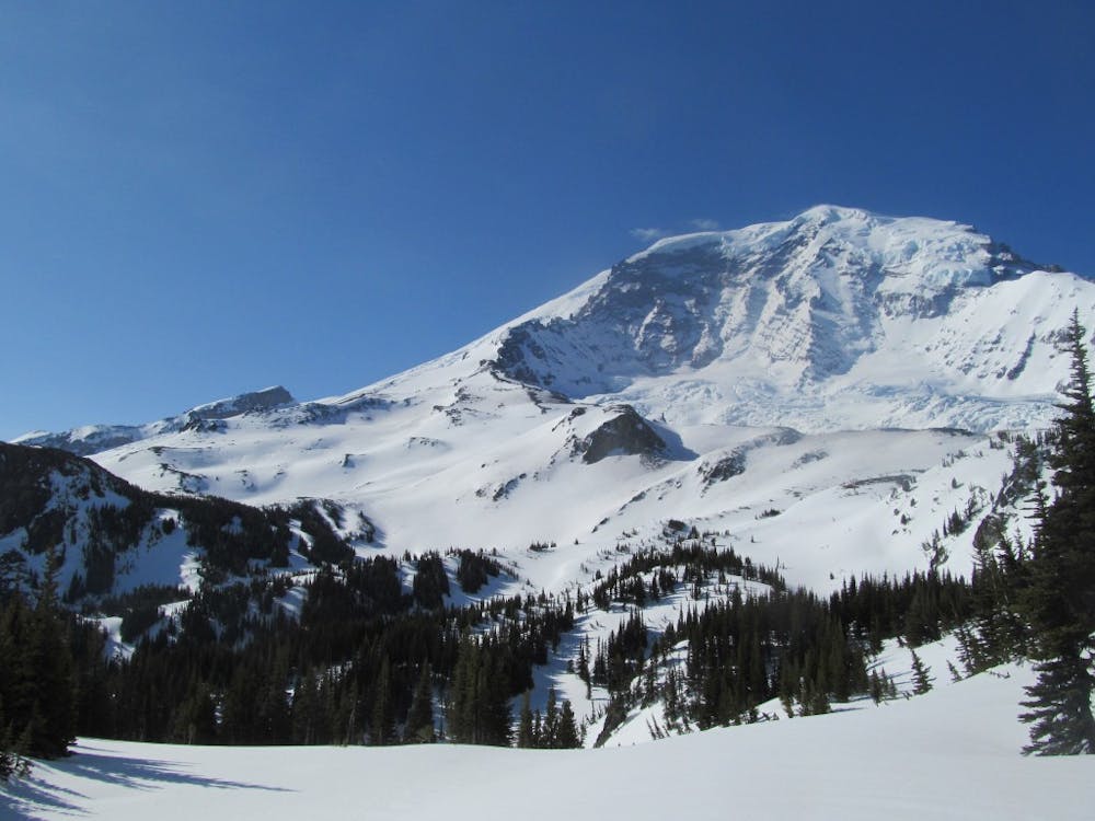
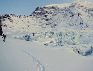
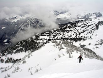
Leaving the Carbon River entrance to Mount Rainier strap your ski gear to the pack and start heading up the Carbon River Valley. Soon enough you will hit the wonderland trail and keep following it Southeast heading towards the Mystic lake area. Being that it was early May we started skinning once it hit alpine within the Moraine Creek area. Skinning up and over the pass we made our way over to Mystic Lake where we dropped off our gear. Now it is time to head south into the open slopes above and slowly heading southwest before gaining the ridge and climbing until you arrive at a flat on top of Curtis Ridge. Dropping into the Northern slopes make sure to head skiers left going through a small col on the western side of Mineral Mountain from here the drainage will take you all the way back to Mystic lake.
From Mystic lake make sure to stay on the Wonderland trail heading east as just dropping into the woods is quite confusing. Before long you will be just below the Winthrop glacier and heading towards Granite Creek. Once in the Granite Creek area keep following the trail until it crosses the drainage then start heading directly up until arriving in the alpine. Since we had the intentions of riding the Third Burroughs we made our way south up the basin until arriving at the high point.
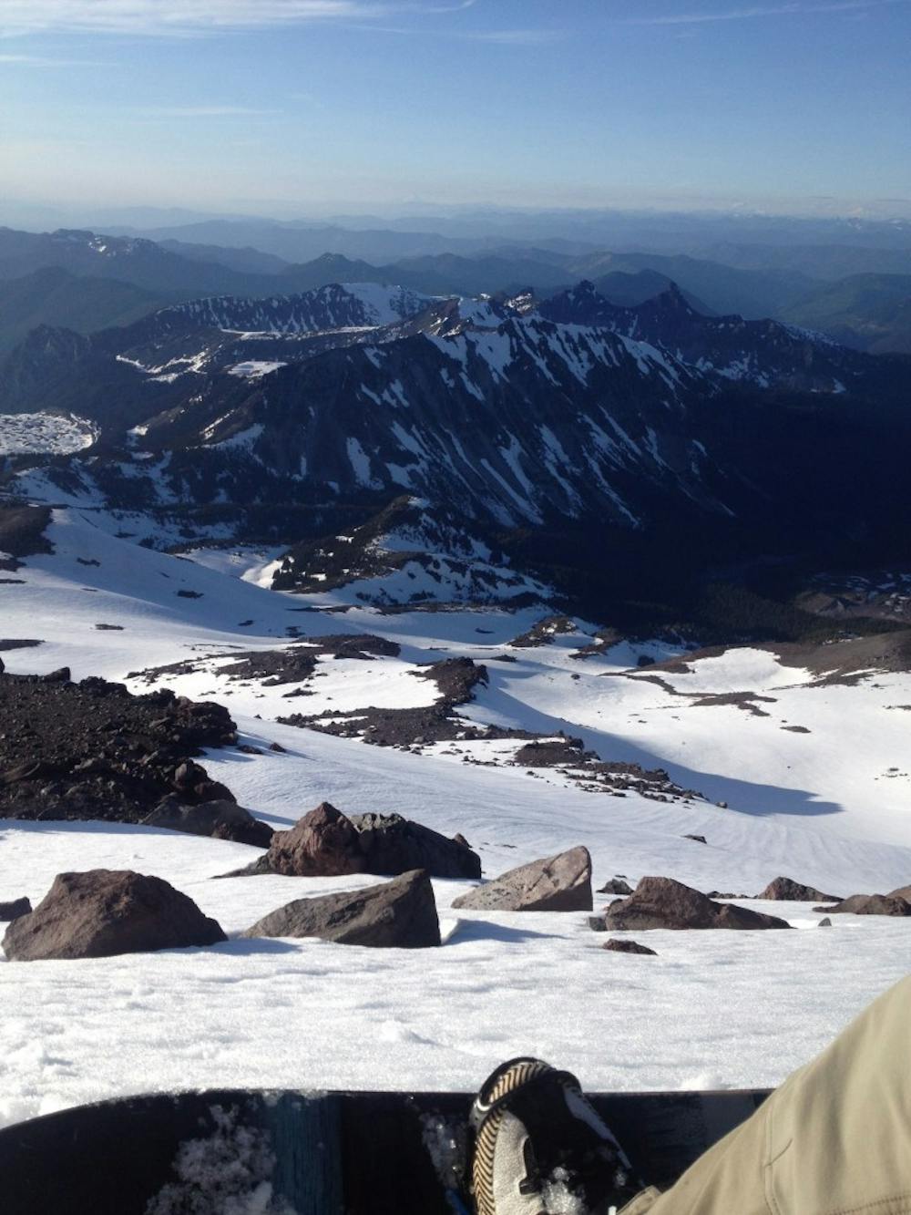
Standing on top of the Third Burroughs drop into the Eastern slope before doing a hard traverse to the skiers right. Before long the slope will roll over and if you traversed high enough you will be descending down an open bowl. Once in the basin you have 2 options 1 if the snowpack is still deep you can ride the drainage all the way to the White River trail or 2 is just head skiers left until hitting the Sunrise trail and riding it into the valley. Once near the shores of the White River just follow the trail east until arriving at the White River.
This trip is quite simple if you can follow the trails but trust me when I say that your shoulders will hurt from carrying the skis. You just can’t beat having the whole North side of Mount Rainier all to yourself.
To see my trip in the area and more photos check out this link https://www.whereiskylemiller.com/mt-rainier/wonderland-trail/
Difficult
Serious gradient of 30-38 degrees where a real risk of slipping exists.

As well as the slope itself, there are some obstacles (such as rock outcrops) which could aggravate injury.

Little chance of being seen or helped in case of an accident.
45 m away
A mid-winter traverse on the North Side of Mount Rainier
Difficult Ski Touring
6.7 km away
Making the most out of a low snow year getting into the Northwest side of Mount Rainier
Difficult Ski Touring
6.9 km away
A midwinter basecamp trip into the Mowich Lake Zone during the
Difficult Ski Touring
8 km away
Another option for early season powder conditions
Easy Ski Touring

11 routes · Ski Touring