1.9 km away
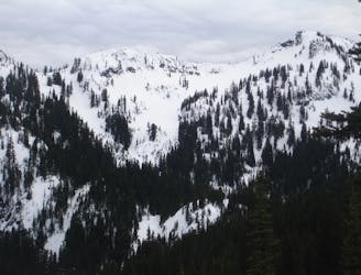
Pickhandle Peak and Crown Point
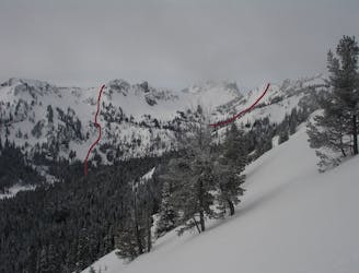
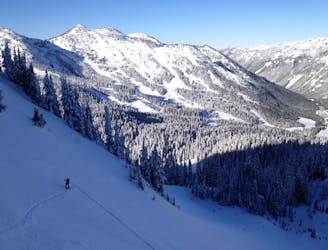
Linking together two great lines in Pickhandle Basin
Moderate Ski Touring
- Distance
- 6.4 km
- Ascent
- 908 m
- Descent
- 909 m
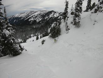
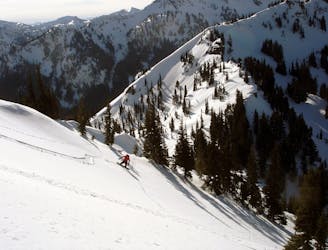
This north-facing basin holds powder for days after a storm. It's straight forward pitch and easy uptrack make for a fun day.
Ski Touring Severe

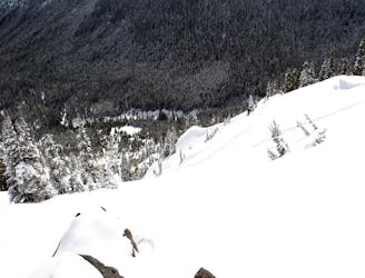
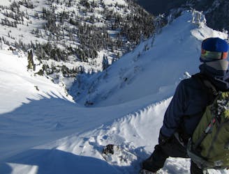
Avoid traversing below avalanche slopes; this is true backcountry. Carry proper equipment and ski or ride with a partner. Once you arrive at the bottom of the basin, set your skin track on the climber's left side of the bowl in the small trees, attaining the ridge before it gets too steep. Watch for cornices along the ridge as you make your way to the top of the bowl. Multiple lines abound, getting more challenging on the skier's right. Early season, individual chutes are apparent, but with more snow the entire basin fills in. Watch out for avalanches, cornices, cliffs and tree wells.
Severe
Steep skiing at 38-45 degrees. This requires very good technique and the risk of falling has serious consequences.

As well as the slope itself, there are some obstacles (such as rock outcrops) which could aggravate injury.

Little chance of being seen or helped in case of an accident.
1.9 km away
Linking together two great lines in Pickhandle Basin
Moderate Ski Touring
1.9 km away
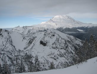
A great and scenic ski tour just South of Crystal Mountain
Moderate Ski Touring
1.9 km away
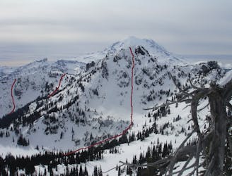
A steep and potential dangerous line just beyond the ski resort
Difficult Ski Touring
1.9 km away
A Long Day route tagging 4 Separate lines South of Crystal Mountain
Difficult Ski Touring
1.9 km away
Heading South of Crystal Mountain making a scenic loop
Difficult Ski Touring
1.9 km away
A full day of ski touring around Crystal Peak with an exit down 410
Difficult Ski Touring
1.9 km away
Heading out to Chinook Pass during the Winter
Difficult Ski Touring
2 km away
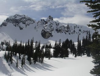
Making the most of of some great North Facing Chutes
Moderate Ski Touring
2 km away
A great ski tour based out of Bear Gap
Moderate Ski Touring
2 km away
Making the most out of the slopes around Dogleg Peak
Moderate Ski Touring