1.7 km away
Canyon Rim Boardwalk
The easiest and most popular way to view the impressive New River Gorge Bridge.
Easy Hiking
- Distance
- 648 m
- Ascent
- 22 m
- Descent
- 22 m
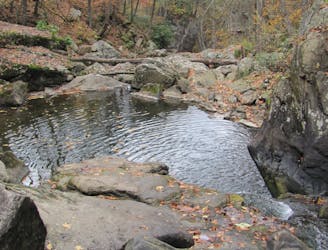
A short hike near Fayetteville with unique views from below the New River Gorge Bridge.
Hiking Moderate

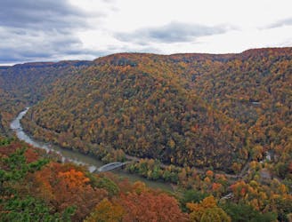
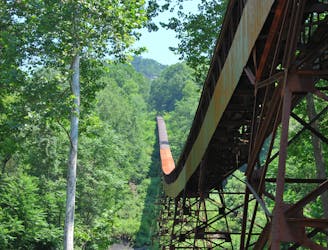
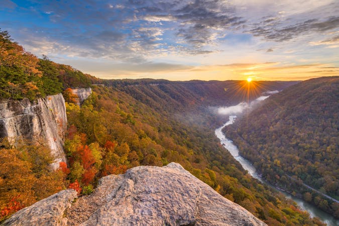
The Bridge Trail is one of the best short hikes near Fayetteville to see the iconic New River Gorge Bridge. Rocky and steep at times, the trail offers unique and intimate views of the bridge, which the park proudly considers to be "the most photographed place in West Virginia." Those seeking an easier view of the bridge will want to consider the Canyon Rim Boardwalk instead.
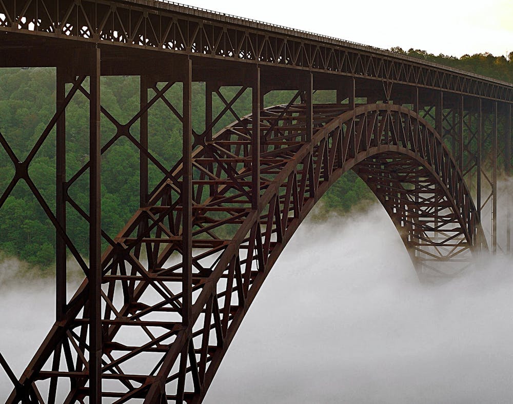
By itself, the trail is less than 1.5-miles to the bridge, a 2-hour round-trip hike at most. Once you reach the bridge, simply find a spot to relax or unpack your gear and try your hand photographing the massive engineering marvel. Just think - before its completion, someone would have to drive upwards of 40 minutes to get from one side of the New to the other! And today, we simply drive over it in under a minute.
For a longer day on the trail, the Bridge Trail ends at a junction with the Fayetteville Trail, where you could continue hiking to Station Road, Kaymoor Trail, or plan a longer outing on one of the many Fayetteville Area Trails. If you have two vehicles and a little bit of creativity, a point-to-point shuttle ending elsewhere in the park could be an option.
Moderate
Hiking along trails with some uneven terrain and small hills. Small rocks and roots may be present.

The path is on completely flat land and potential injury is limited to falling over.
Close to help in case of emergency.
1.7 km away
The easiest and most popular way to view the impressive New River Gorge Bridge.
Easy Hiking
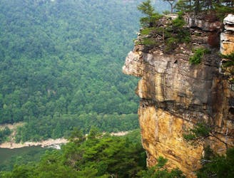
3.5 km away
A rock outcropping with impressive views of the New River Gorge Bridge.
Moderate Hiking
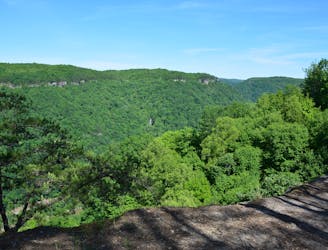
3.6 km away
A classic New River hike loaded with "endless" views from a bluff staring across the river to Fayetteville and the New River Gorge Bridge.
Moderate Hiking
3.7 km away
A steep, mostly-downhill hike near Fayetteville to a historic coal mine.
Difficult Hiking
5.4 km away
A short and steep hike to explore the historic Nuttall coal mine.
Difficult Hiking
10 routes · Hiking

63 routes · Alpine Climbing · Hiking