999 m away
Kaymoor Miners Trail
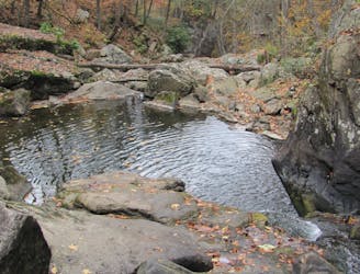
A steep, mostly-downhill hike near Fayetteville to a historic coal mine.
Difficult Hiking
- Distance
- 2 km
- Ascent
- 280 m
- Descent
- 280 m
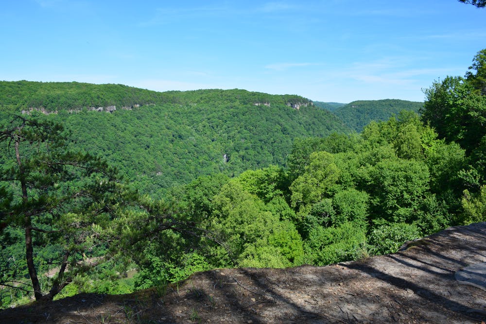
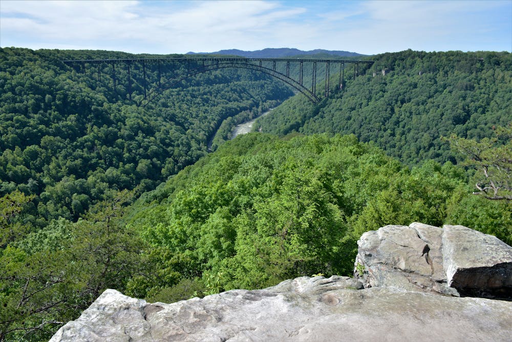
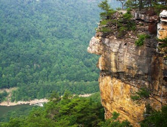
A rock outcropping with impressive views of the New River Gorge Bridge.
Hiking Moderate

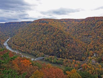
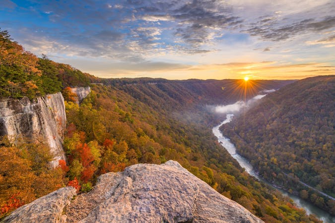
The New River Gorge Bridge is the must-see attraction for anyone visiting Fayetteville, and Long Point is one of the best ways to see it. Second only to the easier Canyon Rim Boardwalk, this vista offers spectacular views into the gorge at the confluence of Wolf Creek, with the railroad clearly visible along the banks of the river. The iconic Endless Wall can also be seen in the distance.
To experience the Long Point Trail, make your way to the main trailhead near Fayetteville. The lot has been improved in recent years, but can still fill quickly on holidays and weekends. "Resist the urge to park along the road," though, as local law enforcement may tow illegally parked cars this source warns.
Spring and summer provide an excellent selection of wildflowers, winter offers longer views, and the fall colors make a popular subject amongst photographers. According to the park, the bridge is considered one of the "most photographed places in West Virginia," an engineering marvel that sliced a 40-minute drive to less than a minute.
An official holiday famously known as "Bridge Day" occurs on the 3rd Saturday of October and is "West Virginia's largest one-day festival and the largest extreme sports event in the world. Those seeking more information on this annual event should click here.
Moderate
Hiking along trails with some uneven terrain and small hills. Small rocks and roots may be present.

The trail contains some obstacles such as outcroppings and rock which could cause injury.
Away from help but easily accessed.
999 m away
A steep, mostly-downhill hike near Fayetteville to a historic coal mine.
Difficult Hiking
3 km away
A classic New River hike loaded with "endless" views from a bluff staring across the river to Fayetteville and the New River Gorge Bridge.
Moderate Hiking
3.2 km away
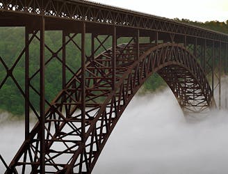
The easiest and most popular way to view the impressive New River Gorge Bridge.
Easy Hiking
3.5 km away
A short and steep hike to explore the historic Nuttall coal mine.
Difficult Hiking
3.5 km away
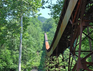
A short hike near Fayetteville with unique views from below the New River Gorge Bridge.
Moderate Hiking
10 routes · Hiking

63 routes · Alpine Climbing · Hiking