999 m away
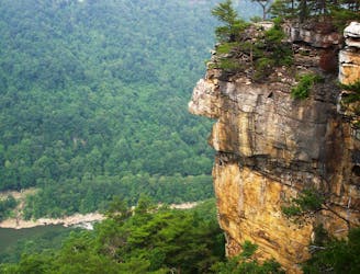
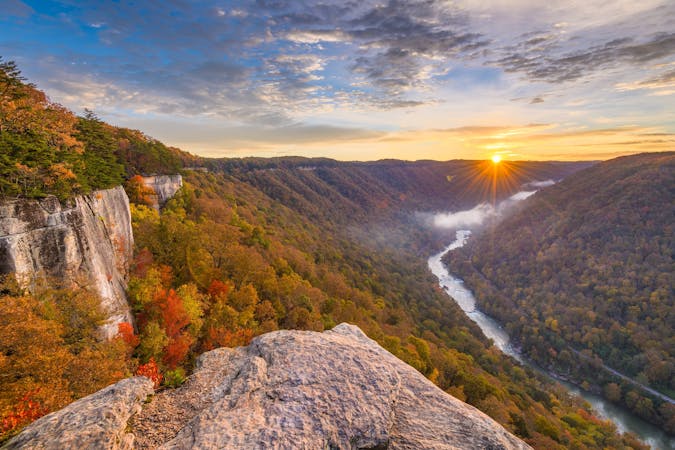
Long Point Trail
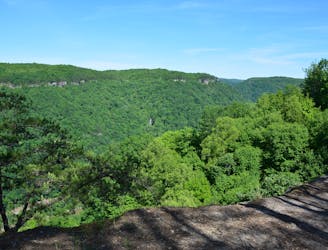
A rock outcropping with impressive views of the New River Gorge Bridge.
Moderate Hiking
- Distance
- 4.9 km
- Ascent
- 130 m
- Descent
- 130 m
A steep, mostly-downhill hike near Fayetteville to a historic coal mine.
Hiking Difficult

The Kaymoor Miners Trail is a steep trail that descends into the New River Gorge via stairs and switchbacks to the historic Kaymoor coal mine. For those seeking a quick view, an overlook sits just 0.2-miles from the trailhead. After that, the trail drops steeply to the mine, where "821 steps continue down to the remains of the coal processing plant, coke ovens, and town site near river level below," according to the NPS.
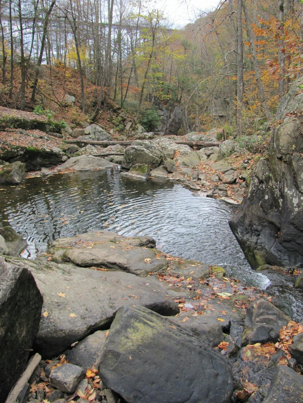
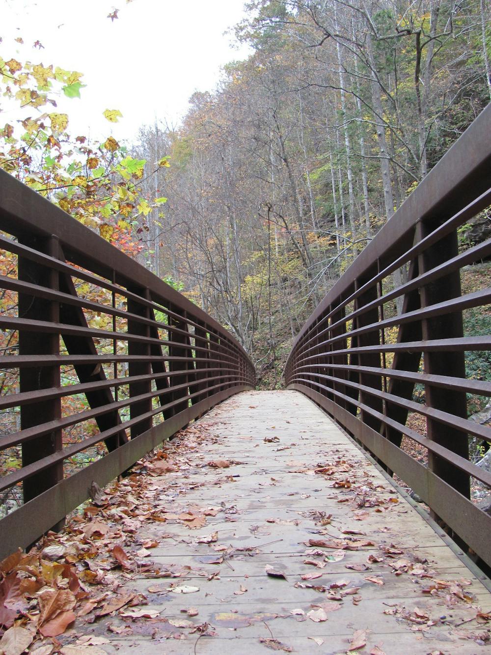
The trailhead is located on Kaymoor Road, making it a great option for anyone visiting Fayetteville. Neither restrooms nor water are available, though the park's main visitor center is not far away. Should you find yourself there, consider the quick hike on the Canyon Rim Boardwalk.
Per the park, "climbing, sitting, or walking on walls and other constructed features weakens them. Please leave historic structures and artifacts as you find them, where they help tell the story of the past." The railroad along the river is also active and privately owned, so please "do not walk on or cross the tracks."
Source: NPS
Difficult
Hiking trails where obstacles such as rocks or roots are prevalent. Some obstacles can require care to step over or around. At times, the trail can be worn and eroded. The grade of the trail is generally quite steep, and can often lead to strenuous hiking.

The trail contains some obstacles such as outcroppings and rock which could cause injury.
Away from help but easily accessed.
999 m away
A rock outcropping with impressive views of the New River Gorge Bridge.
Moderate Hiking
2.2 km away
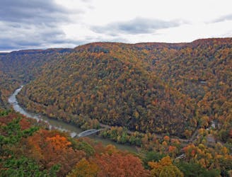
A classic New River hike loaded with "endless" views from a bluff staring across the river to Fayetteville and the New River Gorge Bridge.
Moderate Hiking
2.5 km away
A short and steep hike to explore the historic Nuttall coal mine.
Difficult Hiking
2.9 km away
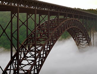
The easiest and most popular way to view the impressive New River Gorge Bridge.
Easy Hiking
3.7 km away
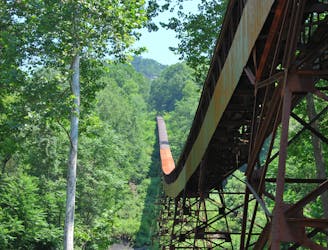
A short hike near Fayetteville with unique views from below the New River Gorge Bridge.
Moderate Hiking
10 routes · Hiking

63 routes · Alpine Climbing · Hiking