83 m away
Lake Louise
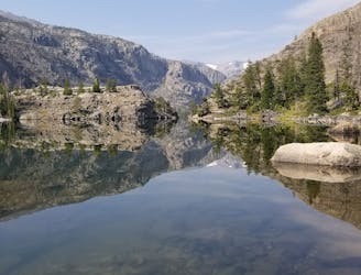
An out-and-back hike to a stunning glacial lake.
Moderate Hiking
- Distance
- 7.2 km
- Ascent
- 340 m
- Descent
- 340 m
An epic backcountry hike, trail run, or overnight trip along the eastern edge of the Winds.
Hiking Difficult

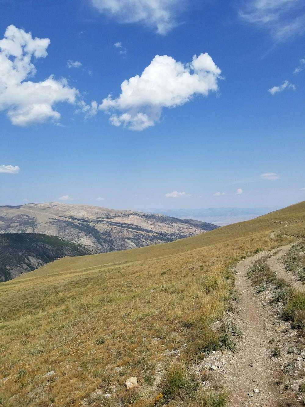
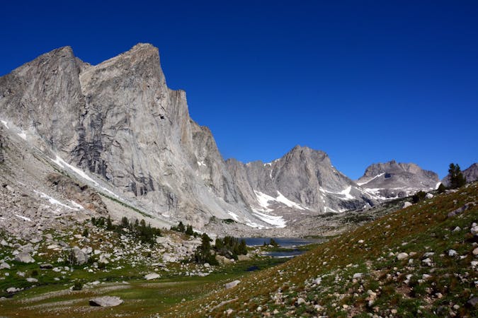
Located in the Fitzpatrick Wilderness portion of the Wind River Range, this backcountry loop is great as a day hike, overnight trip, and perfect for trail runners. Enjoy stunning mountainside views, a beautiful waterfall, summer wildflowers, but know that this loop requires a river ford at the beginning (or end) of the trip.
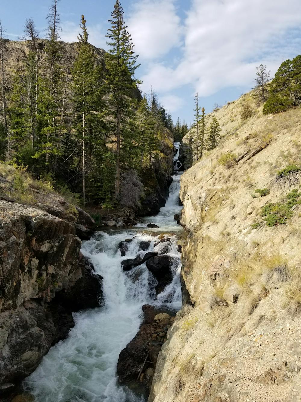
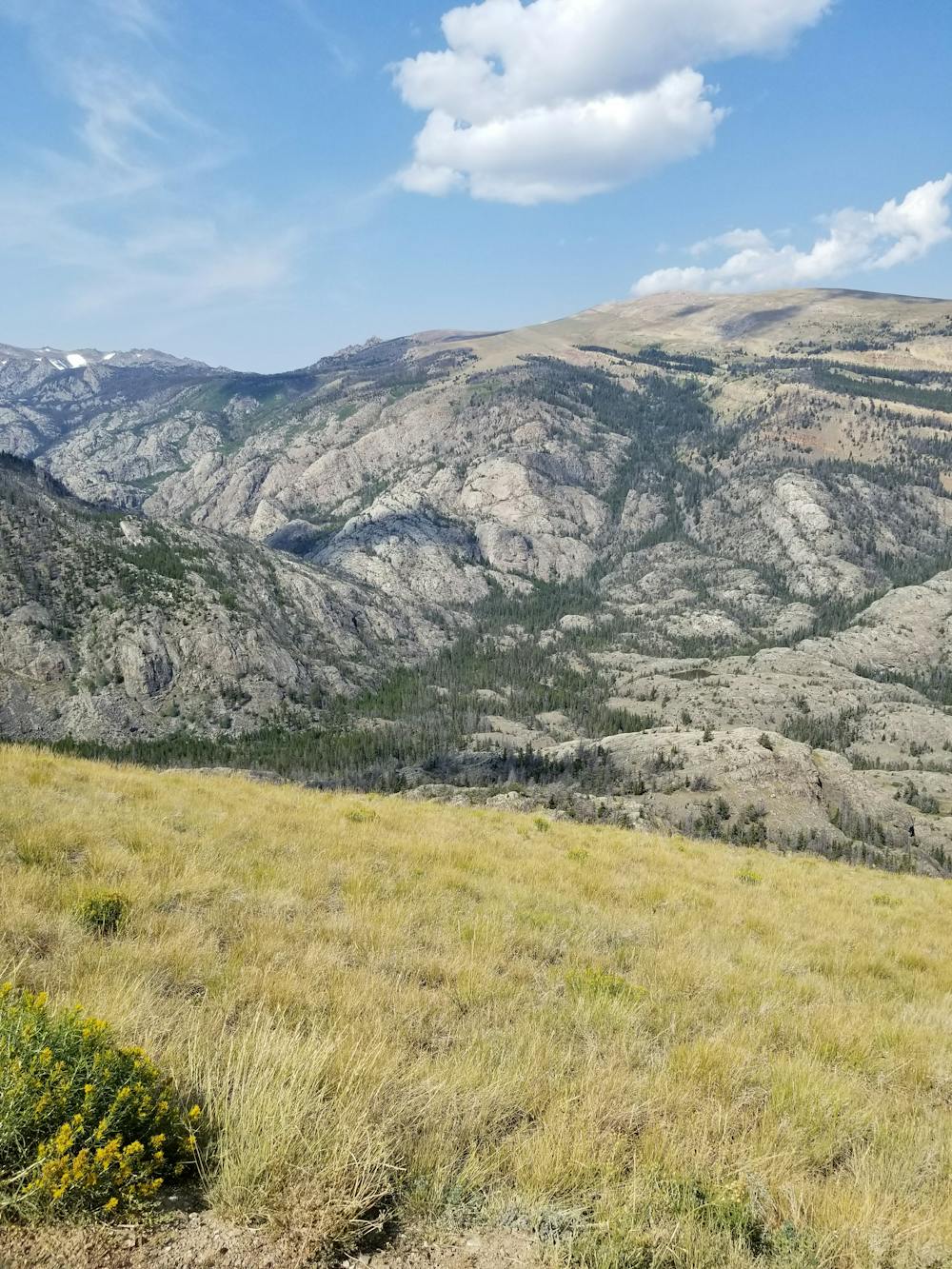
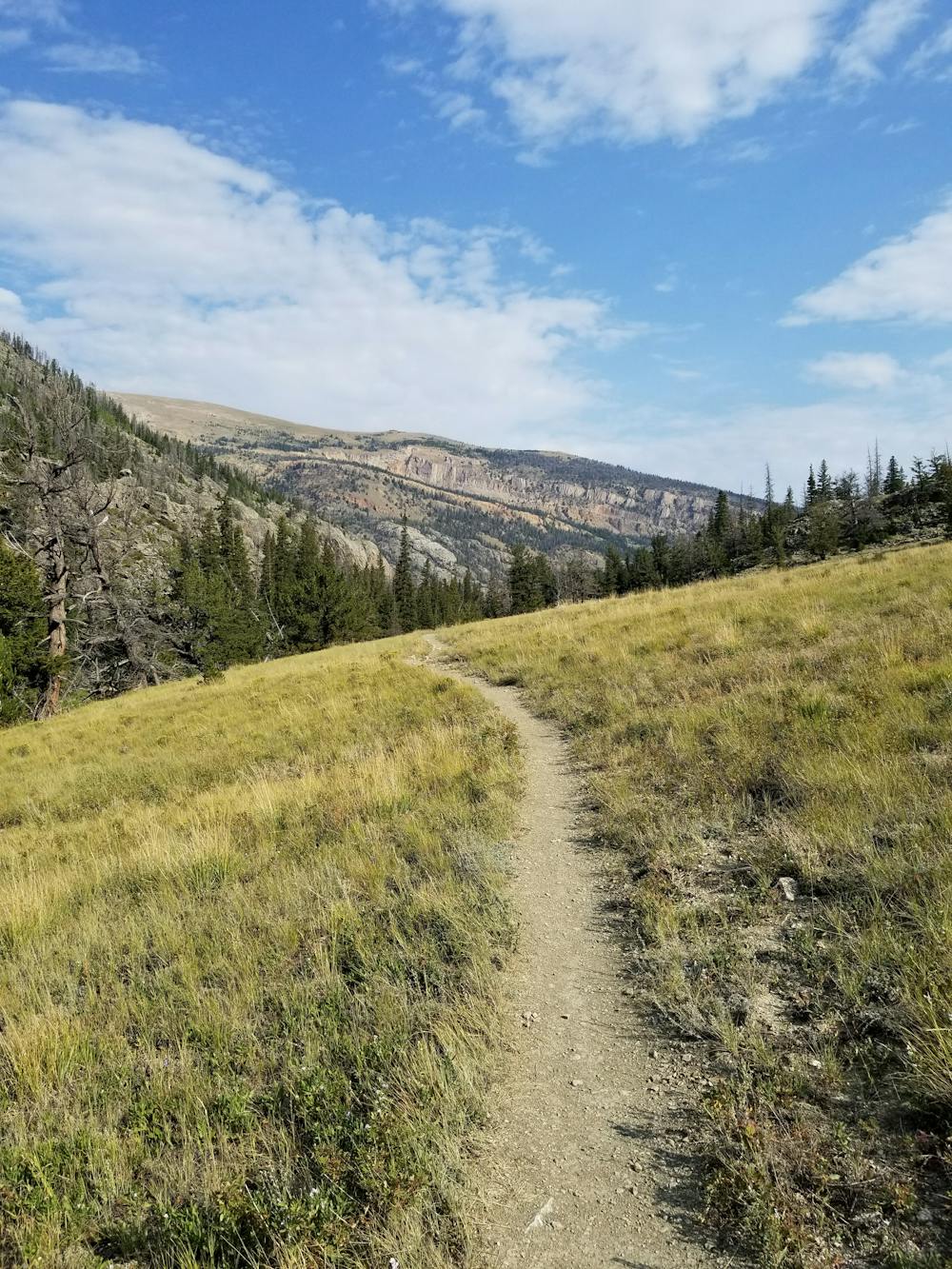
The trailhead is at the end of Trail Lake Road and boasts enough space for larger vehicles, RVs, and even trailers—though there is no reliable cell reception after you leave the paved state highway. The loop is best enjoyed counter-clockwise, beginning with the Whiskey Mountain Trail before spurring onto the New Glacier Trail. Not long after, a bridge crosses the river and offers stunning views of an unnamed waterfall up the canyon. The trail then follows the river upstream, alternating between open meadows and dense forests. Countless wildflowers and wildlife sightings are common.
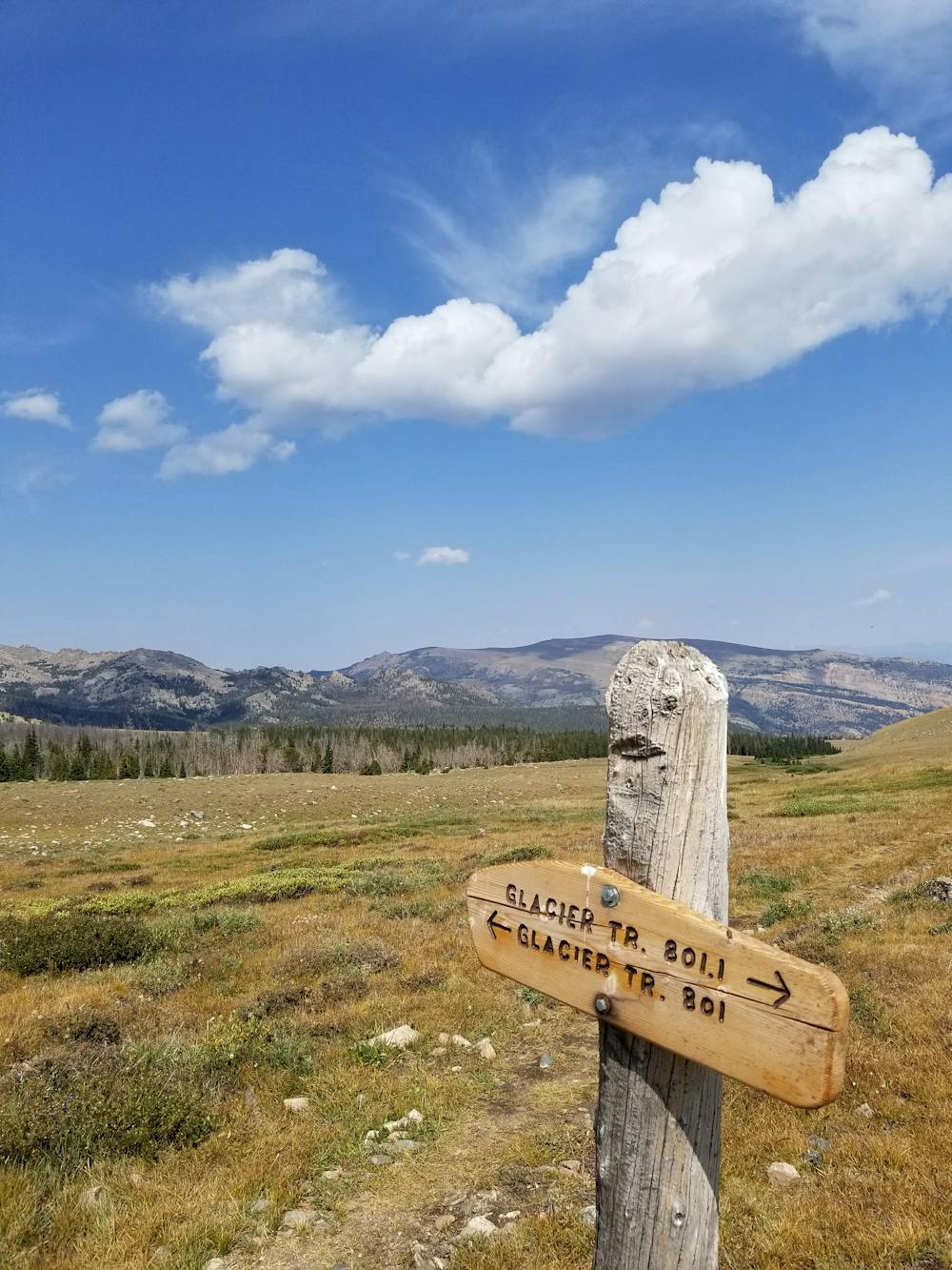
As you head further up the drainage, the trail intensifies and begins to switchback uphill through dark forests. Be sure to turn around and soak in the views any time you need to catch your breath. Cresting a high point, the route wanders into more exposed, barren tundra as it makes the final push to the intersection with the Old Glacier Trail. Keep left at the junction and continue back north. Most would consider this leg of the loop the most scenic, the exposed mountainside offering stunning views into the canyon that you climbed through earlier.
Despite the name, the old Glacier Trail is maintained and easy to follow. The difference, however, is that a bridge washed away on the Old Glacier Trail and now requires users to ford the river near the very end of the loop. In the peak of the summer, it could be waste high, though summer thunderstorms could make for even higher water levels.
Before departing on the loop, it would be wise to check the current river level to ensure you are capable of making the crossing at the end. The ford is just a few hundred feet from the parking lot where you begin. Know that if you are unable to make the crossing, there is no better alternative than the bridge that you crossed earlier into the loop.
Difficult
Hiking trails where obstacles such as rocks or roots are prevalent. Some obstacles can require care to step over or around. At times, the trail can be worn and eroded. The grade of the trail is generally quite steep, and can often lead to strenuous hiking.

Some trail sections have exposed ledges or steep ascents/descents where falling could cause serious injury.

In the high mountains or remote conditions, all individuals must be completely autonomous in every situation.
83 m away
An out-and-back hike to a stunning glacial lake.
Moderate Hiking
8 routes · Hiking