3 m away
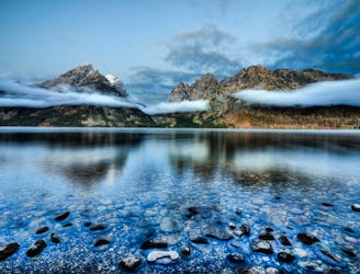
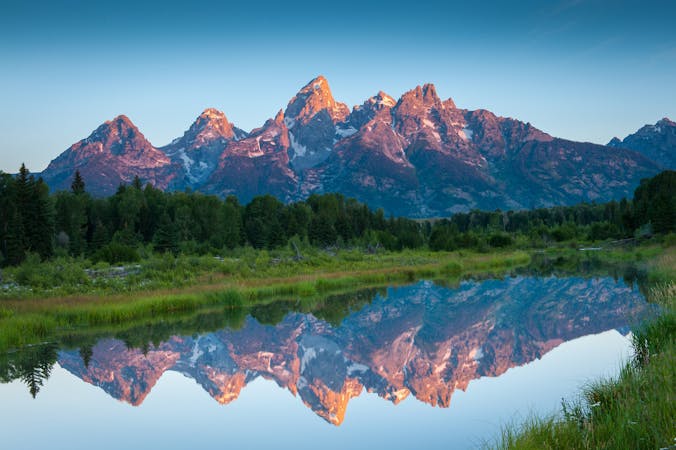
String Lake
One of the best short hikes in the Grand Teton National Park, and a great choice for everyone in the family.
Easy Hiking
- Distance
- 6 km
- Ascent
- 92 m
- Descent
- 92 m
A long yet relaxing hike to three of the park's stunning glacial lakes, and a great option to enjoy the sunrise as it illuminates the mountainside.
Hiking Easy

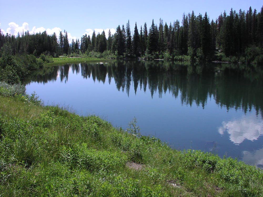
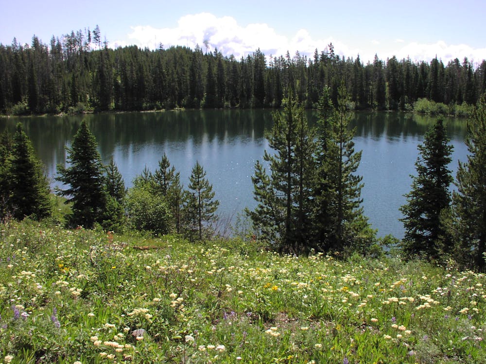
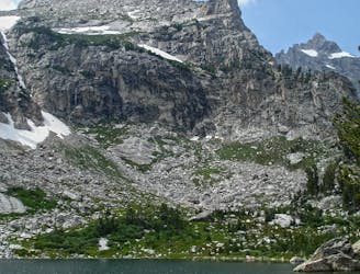
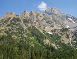
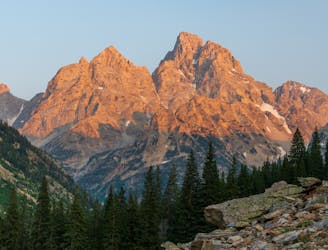
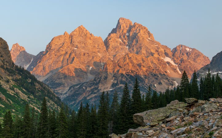
Pack your gear the night before, and get an early start on this hike along the shores of Leigh Lake, a glacial lake resting along the eastern slopes of Mount Moran. Though longer in length, this hike is somewhat easy, with no significant elevation gain as you follow well-established paths along the lakes. Locals often suggest an early morning start to enjoy the sunrise as it illuminates the mountainside with a stunning array of colors. Many consider Leigh Lake an excellent alternative to the popular Jenny Lake, offering a similar experience but often without the crowds.
This hike originates at a trailhead for both String and Leigh Lakes, labeled on some maps as Paintbrush Canyon Trailhead. As mapped, the entire route is 11 miles long, though it is an out-and-back so you could turn around whenever you'd like. For those who venture to the end, two side trails venture to Bearpaw and Trapper Lakes, as well as a quiet cove along the shores of Lake Jackson.
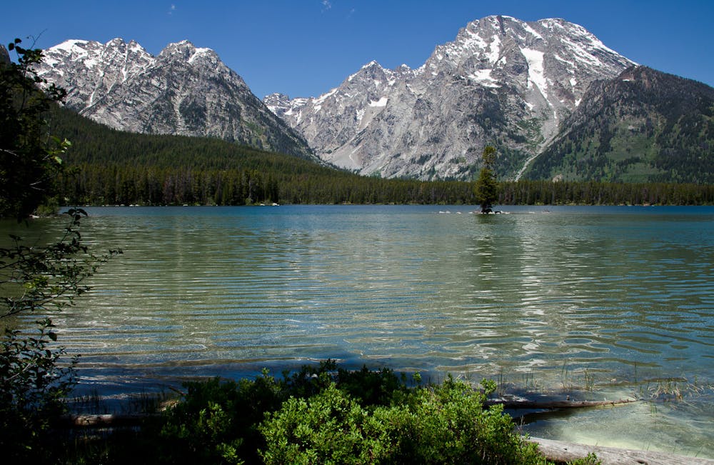
Named after a 19th-century trapper, the 1,800-acre lake reaches an impressive depth of 250 feet, with a surface elevation near 6,900 feet above sea level. For perspective, across the lake from the trail, the 12,600-foot peak of Mount Moran stands a full mile above where you'll be running. It's also the 4th highest peak in the Tetons!
The best time of year to enjoy this hike is between May and October. A large paved parking lot at the trailhead is suitable for larger vehicles, including RVs and trailers. Seasonal restrooms are also available.
Sources: https://en.wikipedia.org/wiki/LeighLake http://www.tetonhikingtrails.com/leigh-lake.htm
Easy
Walking along a well-kept trail that’s mostly flat. No obstacles are present.

The path is on completely flat land and potential injury is limited to falling over.

Away from help but easily accessed.
3 m away
One of the best short hikes in the Grand Teton National Park, and a great choice for everyone in the family.
Easy Hiking
4.3 km away
A easy lakeside hike with astounding views of the Tetons.
Easy Hiking
4.3 km away
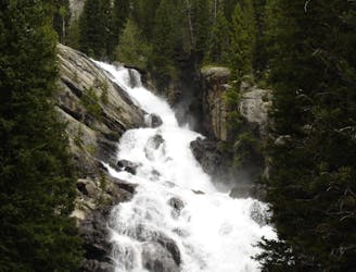
A shorter, family-friendly hike to the only year-round waterfall in Grand Teton National Park.
Moderate Hiking
6.1 km away
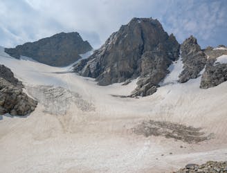
Epic trek to the saddle in between the Middle and Grand Teton.
Extreme Hiking
6.1 km away
A day hike to one of the prettiest lakes in the Tetons!
Difficult Hiking
6.1 km away
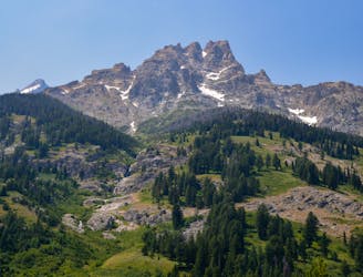
A difficult day hike to stunning sub-alpine lakes shouldered by the highest peaks in the Tetons.
Difficult Hiking
8.2 km away
One final stretch through beautiful Cascade Canyon
Moderate Hiking
8.2 km away
An epic final day on the Teton Crest Trail.
Difficult Hiking
7 routes · Hiking

25 routes · Alpine Climbing · Hiking
5 routes · Alpine Climbing · Hiking
11 routes · Hiking · Trail Running

63 routes · Alpine Climbing · Hiking