1 m away
Teton Crest Trail: North Fork Cascade Canyon to Leigh Lake Trailhead (via Cascade Canyon)
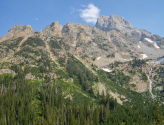
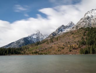
One final stretch through beautiful Cascade Canyon
Moderate Hiking
- Distance
- 13 km
- Ascent
- 80 m
- Descent
- 605 m
An epic final day on the Teton Crest Trail.
Hiking Difficult

There are two main exit points from the Teton Crest Trail: one exiting via Cascade Canyon and one exiting via Paintbrush Canyon. This route focuses on the latter. Both are spectacular, so choose whichever option works best!
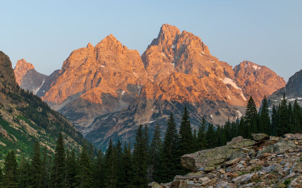
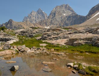
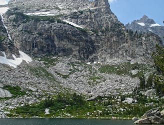
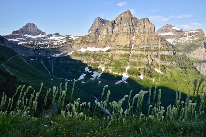
You are in for a treat, though, if you exit via Paintbrush Canyon. The day begins on a high as you reach Lake Solitude. This is one of the prettiest lakes in the Teton Range, so take your time at this marvelous spot.
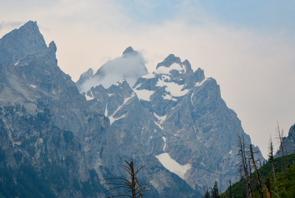
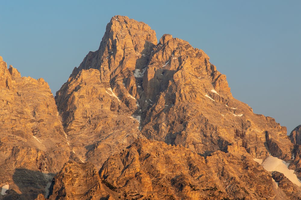
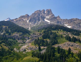
The next section is the last big climb of the entire Teton Crest. Make your way up to Paintbrush Divide where incredible views of the Teton Range await. The motivation to get to the Divide will help with the continuous uphill grind. Note, it is quite exposed on the Divide so pay close attention to the weather.
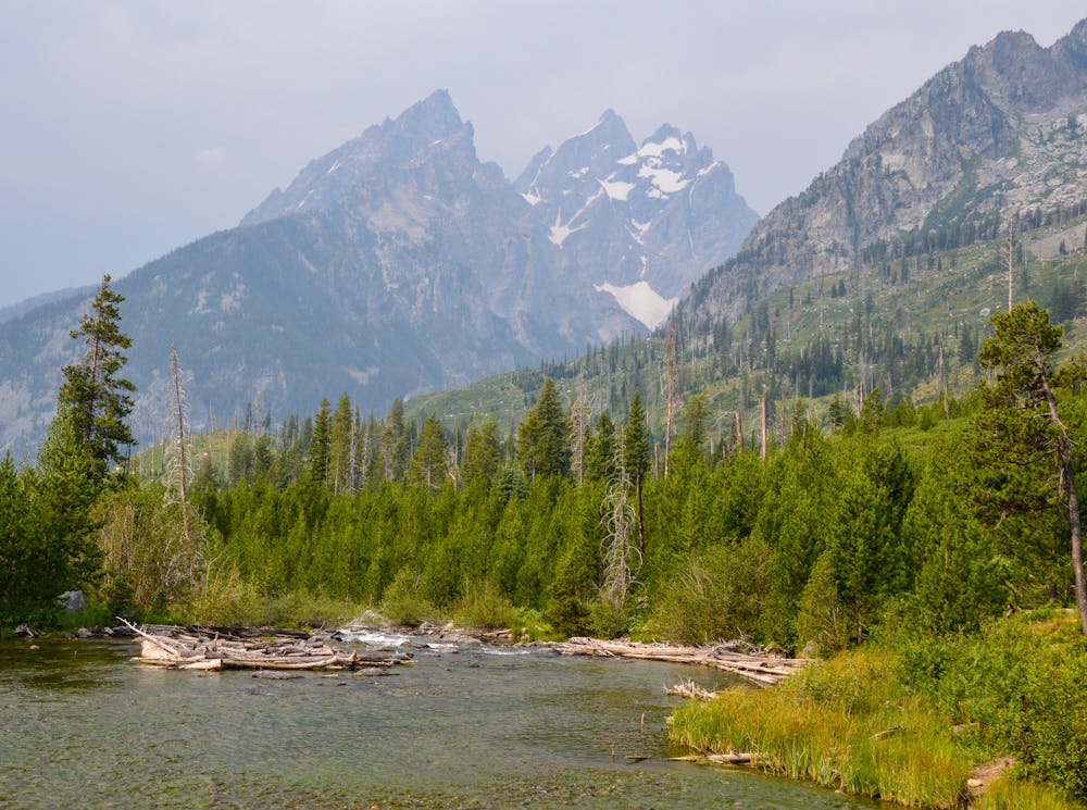
You may think you have seen it all once you are atop Paintbrush Divide, but there is more to come! Holly Lake lies below, which is another gorgeous lake along the trail. Take some time here as this is the last true alpine area on the trail. Forest makes up most of the route following Holly Lake.
The last few miles are relatively easygoing as you make your way through Paintbrush Divide. Make sure to look up every so often so you don't miss the views!
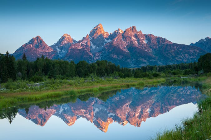
You will finally reach the Leigh and String Lake Trailhead, marking the end of the phenomenal Teton Crest Trail. This trail is truly one of the finest hiking routes within the entire National Park System. Every day along the trail is an experience in paradise. The trail will challenge you and will craft an experience that you'll remember for the rest of your life!
Difficult
Hiking trails where obstacles such as rocks or roots are prevalent. Some obstacles can require care to step over or around. At times, the trail can be worn and eroded. The grade of the trail is generally quite steep, and can often lead to strenuous hiking.

The trail contains some obstacles such as outcroppings and rock which could cause injury.
Away from help but easily accessed.
1 m away
One final stretch through beautiful Cascade Canyon
Moderate Hiking
6.1 km away
Incredible vistas combined with the highest lake in the Teton Range!
Moderate Hiking
7.4 km away
An incredibly steep approach to Table Mountain rewarded with stunning views of the Tetons.
Extreme Hiking
8.2 km away
A long yet relaxing hike to three of the park's stunning glacial lakes, and a great option to enjoy the sunrise as it illuminates the mountainside.
Easy Hiking
8.2 km away
One of the best short hikes in the Grand Teton National Park, and a great choice for everyone in the family.
Easy Hiking
9.2 km away
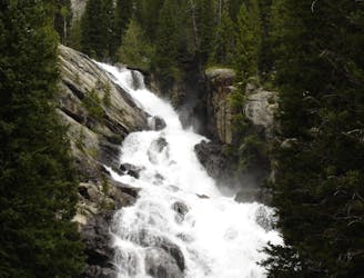
A shorter, family-friendly hike to the only year-round waterfall in Grand Teton National Park.
Moderate Hiking
9.3 km away
A difficult day hike to stunning sub-alpine lakes shouldered by the highest peaks in the Tetons.
Difficult Hiking
9.3 km away
A day hike to one of the prettiest lakes in the Tetons!
Difficult Hiking
9.3 km away
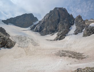
Epic trek to the saddle in between the Middle and Grand Teton.
Extreme Hiking
9.6 km away
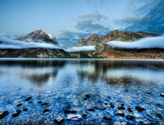
A easy lakeside hike with astounding views of the Tetons.
Easy Hiking

7 routes · Hiking

25 routes · Alpine Climbing · Hiking
5 routes · Alpine Climbing · Hiking
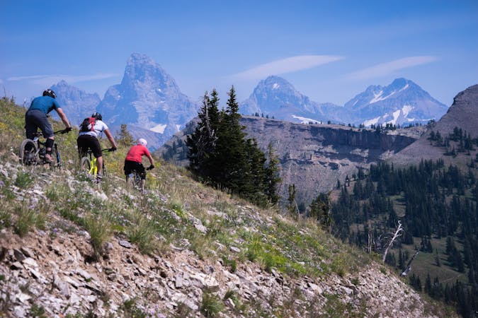
4 routes · Mountain Biking · Hiking · Trail Running
11 routes · Hiking · Trail Running

63 routes · Alpine Climbing · Hiking