11 m away
Table Mountain Loop
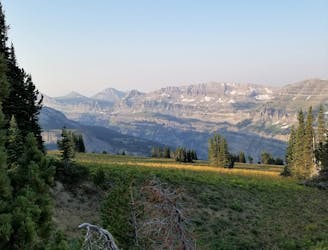
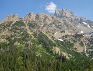
An incredibly steep approach to Table Mountain rewarded with stunning views of the Tetons.
Extreme Hiking
- Distance
- 16 km
- Ascent
- 1.3 km
- Descent
- 1.3 km
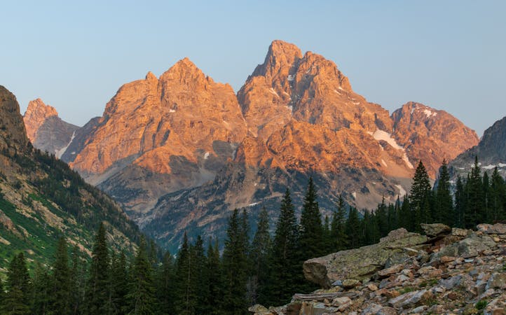
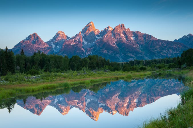
Sunset Summit of Table Mountain
Hiking Difficult

This is a popular hiking route which is generally considered to be difficult. It's very remote, it features medium exposure and is typically done between July and October. From a low point of 2.1 km to the maximum altitude of 3.4 km, the route covers 17 km, 1268 vertical metres of ascent and 1268 vertical metres of descent.
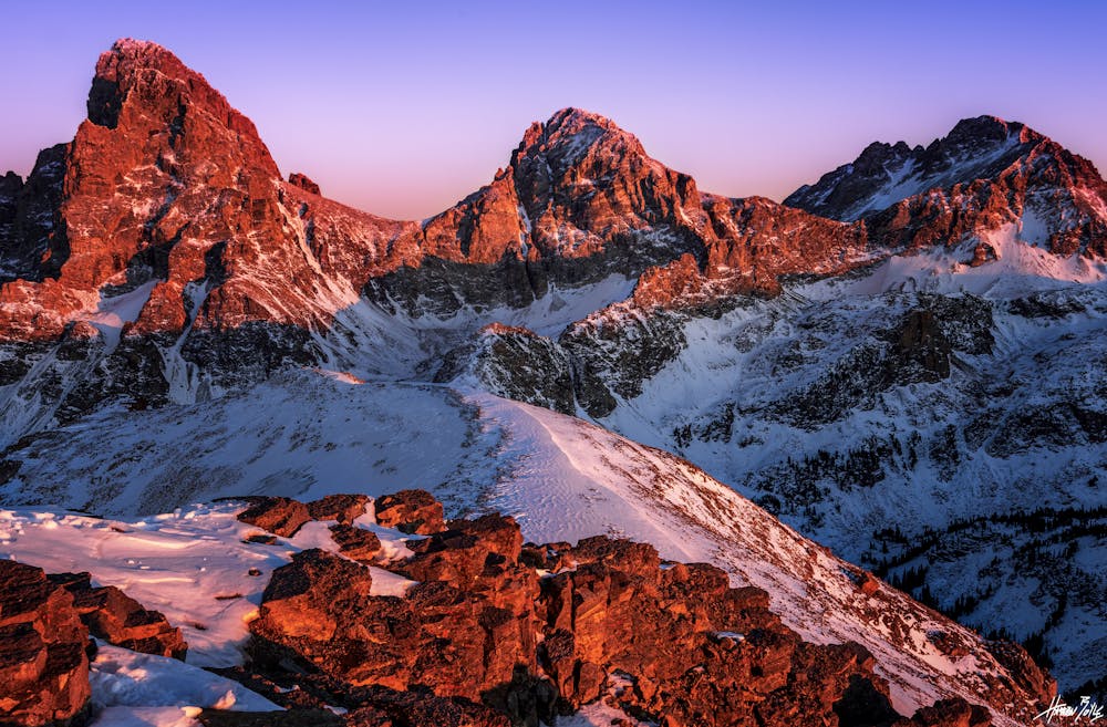
Sunset summit of Table Mountain, Grand Teton National Park. An incredible, view from the West Side of the Teton's for sunset alpenglow.
Difficult
Hiking trails where obstacles such as rocks or roots are prevalent. Some obstacles can require care to step over or around. At times, the trail can be worn and eroded. The grade of the trail is generally quite steep, and can often lead to strenuous hiking.

The trail contains some obstacles such as outcroppings and rock which could cause injury.

Little chance of being seen or helped in case of an accident.
11 m away
An incredibly steep approach to Table Mountain rewarded with stunning views of the Tetons.
Extreme Hiking
6.7 km away
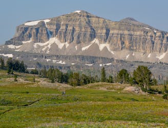
Incredible vistas combined with the highest lake in the Teton Range!
Moderate Hiking
7.4 km away
An epic final day on the Teton Crest Trail.
Difficult Hiking
7.4 km away
One final stretch through beautiful Cascade Canyon
Moderate Hiking
8.4 km away
One of the most beautiful sections of trail in the Tetons.
Difficult Hiking
8.4 km away
A must-do side trip off the Teton Crest Trail.
Extreme Hiking
7 routes · Hiking

25 routes · Alpine Climbing · Hiking
5 routes · Alpine Climbing · Hiking
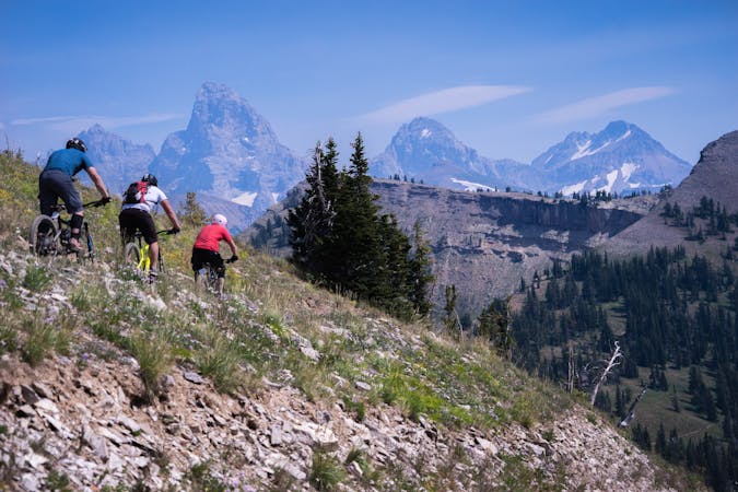
4 routes · Mountain Biking · Hiking · Trail Running
11 routes · Hiking · Trail Running