4.7 km away
Delta Lake
A day hike to one of the prettiest lakes in the Tetons!
Difficult Hiking
- Distance
- 11 km
- Ascent
- 700 m
- Descent
- 700 m
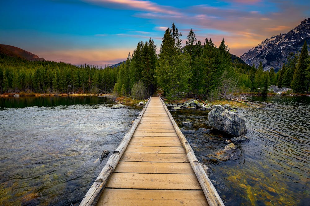
One of the most beautiful lake hikes in Grand Teton National Park.
Hiking Moderate

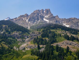
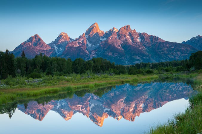
If you are looking for a scenic and easy hike that showcases the beauty of the Teton Range and its glacial lakes, you should try the Taggart Lake Loop hike in Grand Teton National Park.
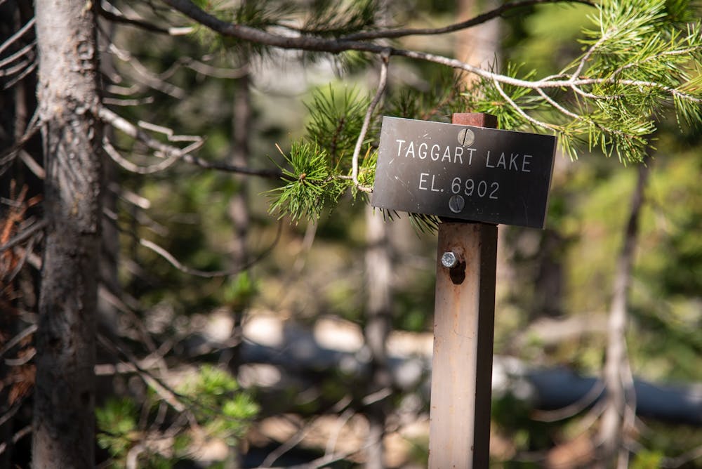
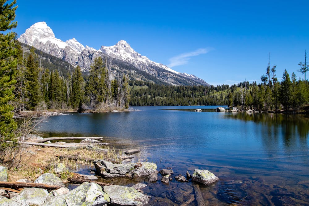
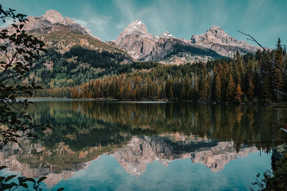
This 3.8-mile loop trail starts at the Taggart Lake Trailhead, located about 2.3 miles north of the Moose Entrance Station. The trail winds up an aspen-covered moraine before opening up to stunning views of the mountains. At the Bradley Lake trail split, stay left to reach Taggart Lake, a serene alpine lake with crystal-clear water and a backdrop of jagged peaks.
The view from Taggart Lake is one of the most spectacular in Grand Teton National Park. From the lakeshore, you can admire the reflection of the majestic Teton Range in the crystal-clear water. The lake is surrounded by forest and meadows, where you might spot wildlife such as moose, elk, deer, and bears. Depending on the season, you can also enjoy the colorful display of wildflowers or the golden glow of aspens.
The most prominent peaks that you can see from the lake are Middle Teton, Garnet Canyon, Grand Teton, Mt. Owen and Teewinot Mountain. These peaks are part of the Cathedral Group, a cluster of high and rugged mountains that form the core of the range. The view from Taggart Lake is a perfect example of the natural beauty and diversity of Grand Teton National Park.
From Taggart Lake, follow the trail left to complete the loop back to the parking lot, passing by Beaver Creek and enjoying more views of the forest and the range.
Sources: https://www.tetonhikingtrails.com/bradley-lake.htm https://www.nps.gov/thingstodo/taggartloop.htm https://www.yellowstonepark.com/things-to-do/hiking/taggart-lake-hike-grand-teton-national-park/ Conversation with Bing Chat
Moderate
Hiking along trails with some uneven terrain and small hills. Small rocks and roots may be present.

The path is on completely flat land and potential injury is limited to falling over.

Away from help but easily accessed.
4.7 km away
A day hike to one of the prettiest lakes in the Tetons!
Difficult Hiking
4.7 km away
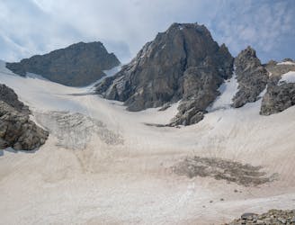
Epic trek to the saddle in between the Middle and Grand Teton.
Extreme Hiking
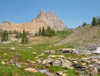
4.7 km away
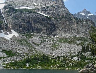
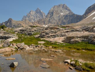
A difficult day hike to stunning sub-alpine lakes shouldered by the highest peaks in the Tetons.
Difficult Hiking
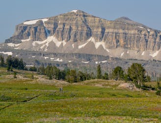
5.7 km away
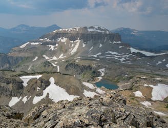
A rewarding scramble to one of the best viewpoints in the Tetons.
Extreme Hiking
6.3 km away
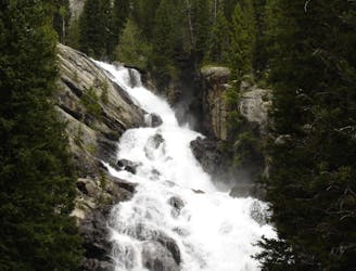
A shorter, family-friendly hike to the only year-round waterfall in Grand Teton National Park.
Moderate Hiking
6.4 km away
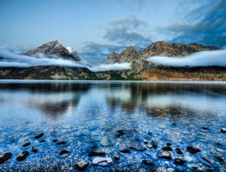
A easy lakeside hike with astounding views of the Tetons.
Easy Hiking
9.5 km away
One of the most beautiful sections of trail in the Tetons.
Difficult Hiking
9.5 km away
A must-do side trip off the Teton Crest Trail.
Extreme Hiking
9.5 km away
Incredible vistas combined with the highest lake in the Teton Range!
Moderate Hiking
7 routes · Hiking
11 routes · Hiking · Trail Running

63 routes · Alpine Climbing · Hiking