2 m away
Phillip's Ridge
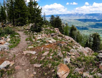
An instant classic ridgeline trail ride.
Severe Mountain Biking
- Distance
- 16 km
- Ascent
- 257 m
- Descent
- 696 m
One of the most technical, old school descents in the region.
Mountain Biking Severe

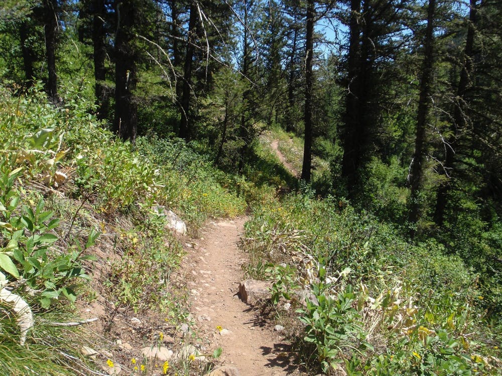
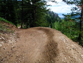
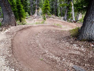
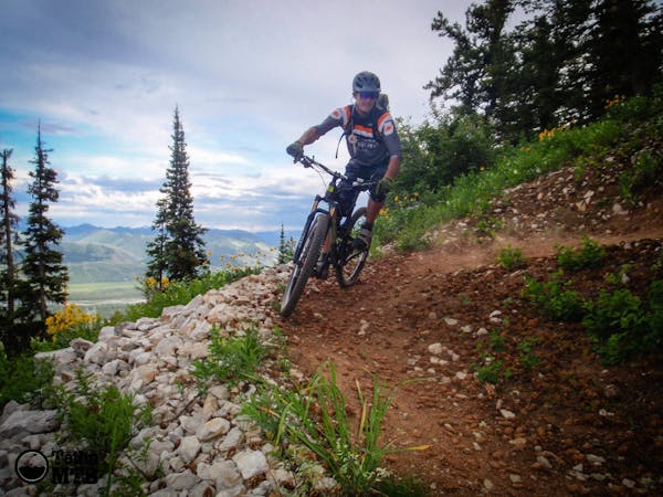
Phillips Canyon can be shuttled from Teton Pass, but the vibe of the trails here is completely different than the jump- and drop-filled downhill trails on the other side of the pass. Instead, it’s old school technical singletrack that can be ridden in both directions—if you’re ambitious enough.
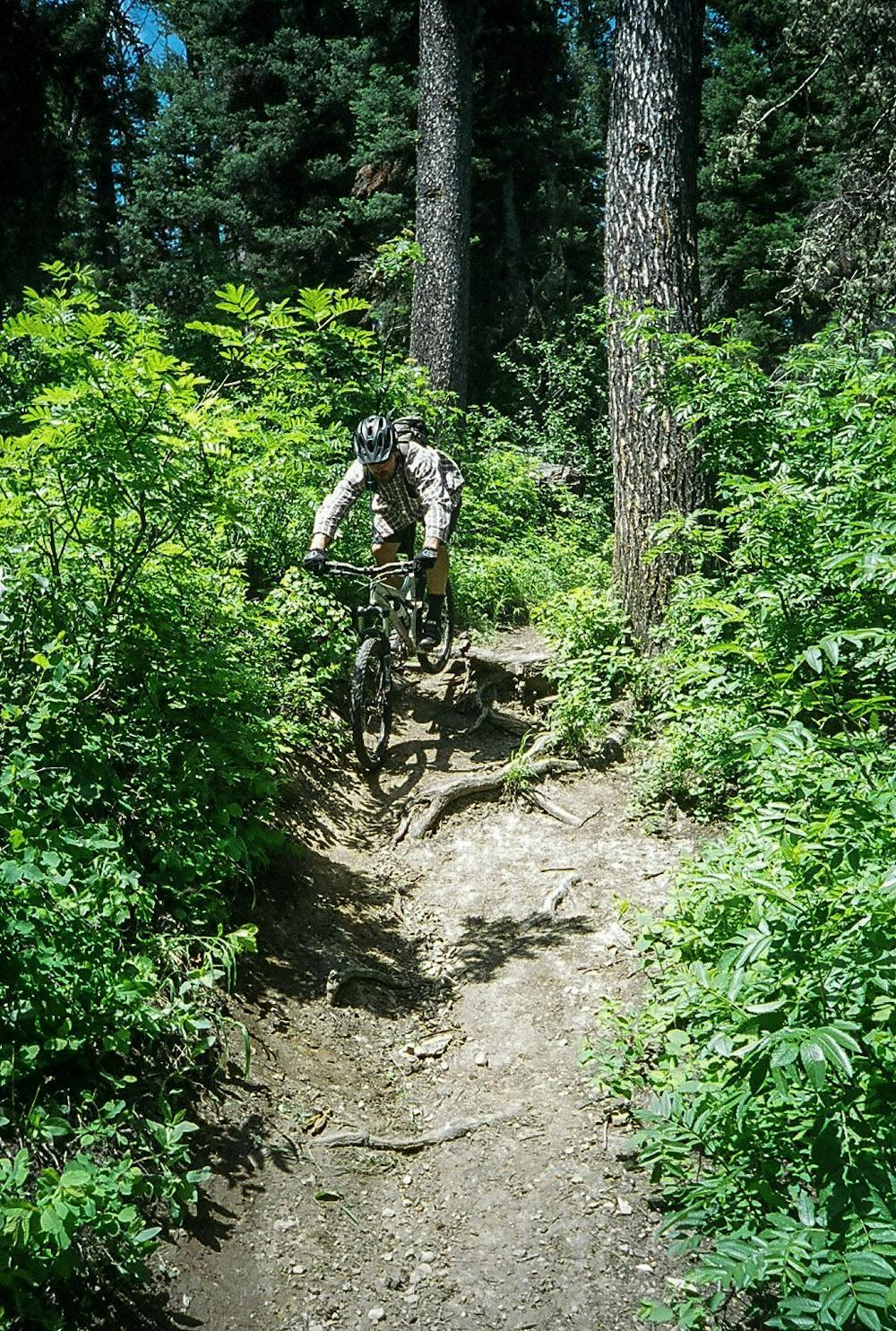
“Phillip’s Canyon hasn’t changed much over the years,” write the Executive Director of Mountain Bike the Tetons. "It’s still one of the more technical descents in the area with lots of rocks and roots.”
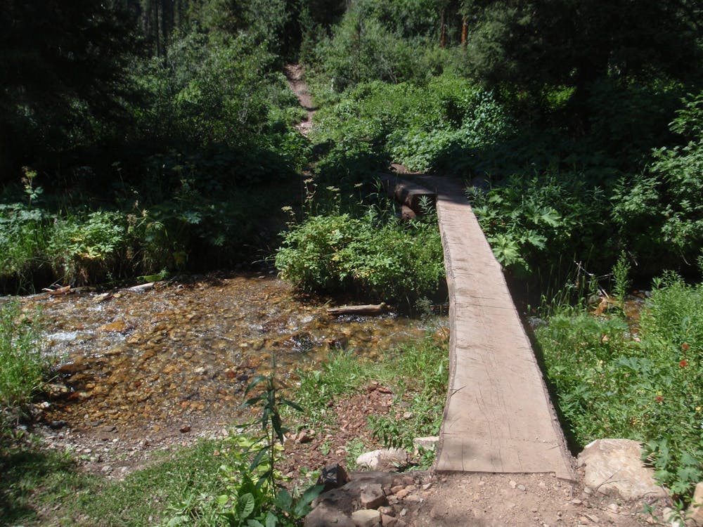
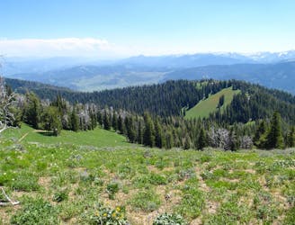
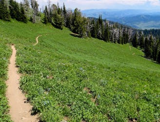
The singletrack teases views of the surrounding peaks, but drops into a beautiful canyon bottom, running along a rushing creek. The lush undergrowth provides a beautiful respite from the drier zones nearby.
The route mapped here is the shuttle option, but it can also be ridden as an out-and-back, or "as a loop by riding Arrow or Phillip’s Ridge to this trail and returning on the opposite trail,” according to Mountain Bike the Tetons.
Sources: https://mountainbiketetons.org/local-mountain-bike-rides/trail-map-updates-snotelphillips-canyon/ http://www.tetonmtb.com/trails/jacksonhole/teton-pass/phillips-canyon
Severe
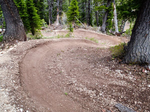
Widely variable, narrow trail tread with steeper grades and unavoidable obstacles of 15in/38cm tall or less. Obstacles may include unavoidable bridges 24in/61cm wide or less, large rocks, gravel, difficult root sections, and more. Ideal for advanced-level riders.

The path is on completely flat land and potential injury is limited to falling over.

Away from help but easily accessed.
2 m away
An instant classic ridgeline trail ride.
Severe Mountain Biking
3 m away
An expert-only downhill run filled with big jumps—including significant gaps.
Extreme Mountain Biking
2.5 km away
This combination of trails forms one of the most renowned freeride downhill runs in the Teton Pass area.
Extreme Mountain Biking
2.5 km away
One of the longest runs in the Teton Pass area.
Extreme Mountain Biking
2.5 km away
A backcountry enduro shuttle that's been a longtime Jackson Hole classic.
Difficult Mountain Biking
8 routes · Mountain Biking
3 routes · Mountain Biking