2.3 km away
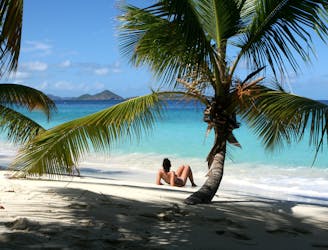
Salt Pond Bay and Ram Head
Easy stroll to a secluded beach, followed by a tougher hike up a windswept peak at the tip of the island.
Moderate Hiking
- Distance
- 4.2 km
- Ascent
- 79 m
- Descent
- 79 m
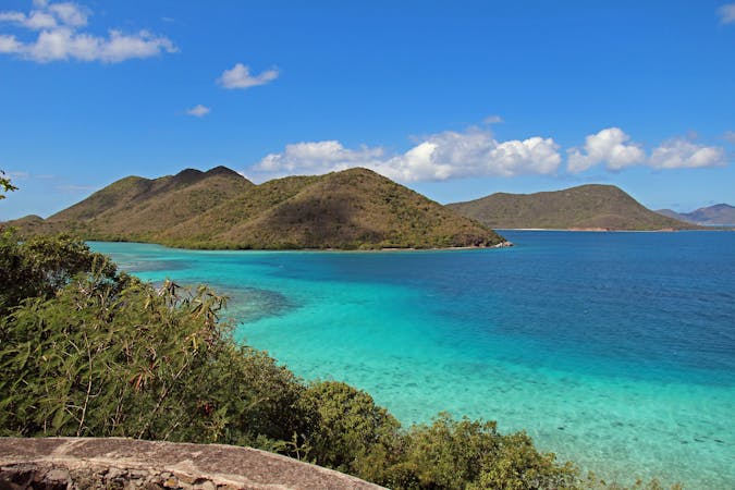
The best trail for a hiking workout on St. John.
Hiking Difficult

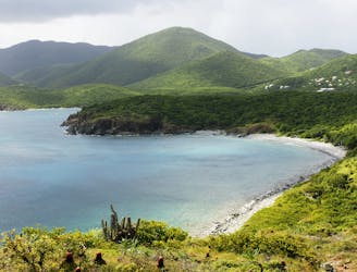
This trail begins at the beach and goes straight up a mountainside, ending near the highest point of St. John Island. The top of the trail is at Bordeaux Mountain Road, not at an overlook or any particular point of interest. Therefore, the main draw of this trail is just to get a good workout and to conquer the island’s biggest hill from sea level. However, there are good views to be had along the way, looking down the trail toward the bay.
The entire hike is on steep and rocky terrain, among prickly vegetation and entirely exposed to the sun. It requires proper hiking attire and lots of water. After climbing the whole trail and coming back down, you can cool off with a well-earned dip in the water at Lameshur Beach.
Source: https://www.nps.gov/viis/planyourvisit/upload/New%20Trail%20Map%201.pdf
Difficult
Hiking trails where obstacles such as rocks or roots are prevalent. Some obstacles can require care to step over or around. At times, the trail can be worn and eroded. The grade of the trail is generally quite steep, and can often lead to strenuous hiking.

The trail contains some obstacles such as outcroppings and rock which could cause injury.
Away from help but easily accessed.
2.3 km away
Easy stroll to a secluded beach, followed by a tougher hike up a windswept peak at the tip of the island.
Moderate Hiking
3.4 km away
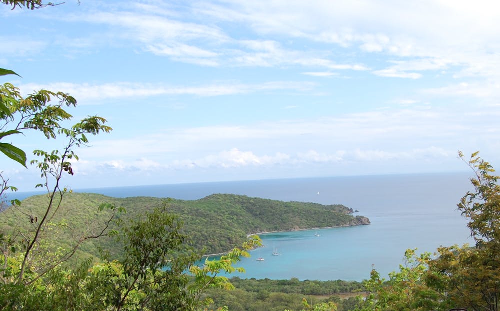
One of the best hikes on St. John: Descending through a forest rich with wildlife, past plantation ruins and even older petroglyphs, to a deserted beach on the quiet side of the island.
Difficult Hiking
4.7 km away
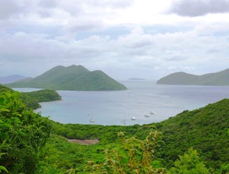
Beginning from the spectacular Annaberg Ruins, this route follows a series of trails through increasingly secluded scenery, ending at the very remote Brown Bay.
Moderate Hiking
7.1 km away
Walk through the forest to find secluded, sandy beaches that are perfect for swimming and snorkeling.
Easy Hiking
5 routes · Hiking

63 routes · Alpine Climbing · Hiking