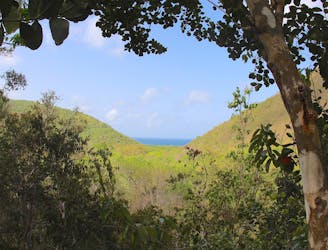
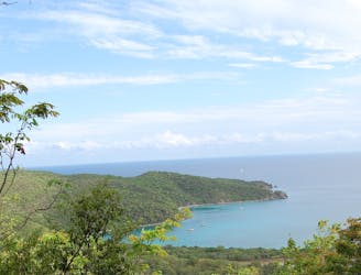
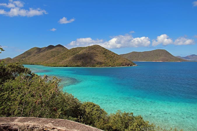
Hikers can choose between the upper and lower Lind Point trails, and the route mapped here makes a loop with them both, taking the upper trail first. This upper trail is steeper and rockier than the lower and rewards with at least one elevated overlook. It’s likely to work up a sweat, so it’s recommended to hike first, then enjoy a comparatively easy walk between the swimming beaches on the lower trail.
The two beaches are Honeymoon Beach and Salomon Beach. Both are adorned with white sands and offer shady spots beneath overhanging palms. Wading, swimming, and snorkeling are excellent in the clear and relatively calm water. Salomon is the smaller and more secluded of the two, accessible only by trail. Honeymoon is still rather remote and rarely crowded, but can be reached by a road. A concession stand, rental chairs, and kayaks are typically available there. From Honeymoon Beach, it’s possible to continue walking the road east and soon reach Caneel Bay Resort, but to complete the loop you’ll go west on the Lower Lind Point Trail to Salomon Beach. Beyond Salomon, the trail re-enters the forest then rounds the point to eventually return to the start.
Sources:
https://www.nps.gov/thingstodo/hike-the-lind-point-trails.htm
https://www.fueledbywanderlust.com/lind-point-trail/
