2.3 km away
Bordeaux Mountain Trail
The best trail for a hiking workout on St. John.
Difficult Hiking
- Distance
- 3.3 km
- Ascent
- 313 m
- Descent
- 313 m
Easy stroll to a secluded beach, followed by a tougher hike up a windswept peak at the tip of the island.
Hiking Moderate

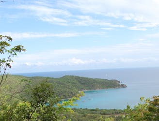
This hike offers a stellar combination of shoreline trails, sandy beaches, and elevated overlooks, as well as a good workout. Though the distance is short, reaching the top of Ram Head requires some elevation gain on a rocky trail.
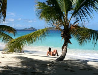
The hike begins from a well-signed, medium-sized parking area. From there, it goes downhill on a gated vehicle track to the beach. This is a narrow strip of sand on a calm bay, usually never crowded because of its remote location. You’ll certainly want to relax here and maybe get in the water, before or after the rest of the trail to Ram Head.
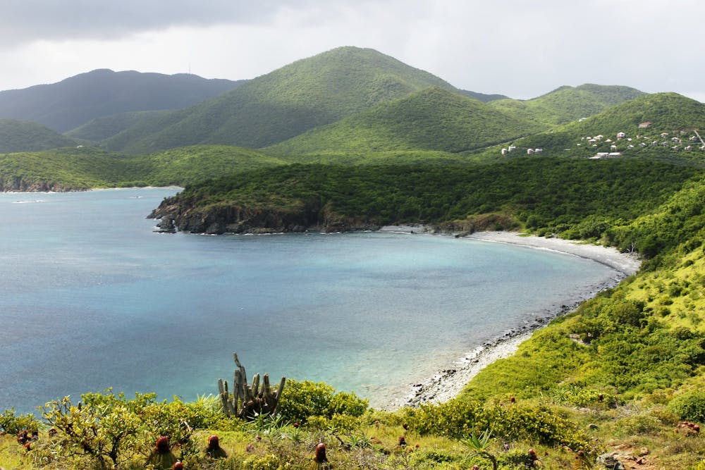
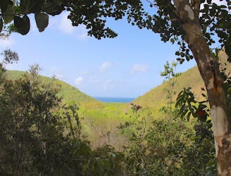
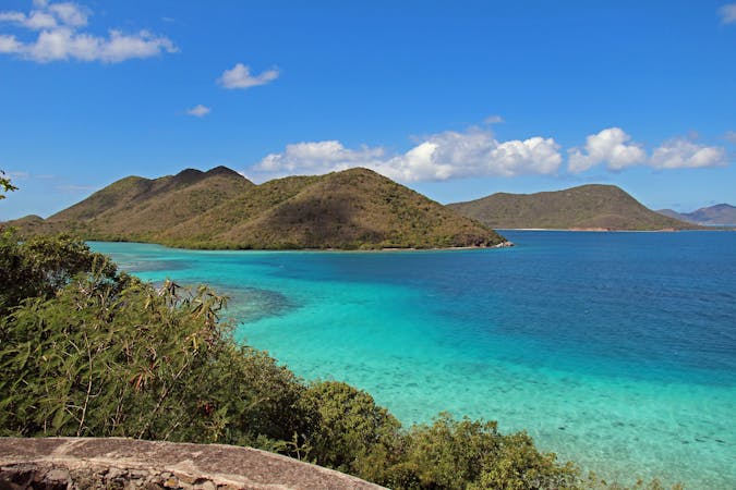
A footpath continues from the end of this beach and passes the Salt Pond, an uninviting body of water but a good place to see birdlife. The trail then turns sharply uphill, using rock stairs in some spots to aid the ascent. You’ll weave among cacti and vines on a narrow, rocky path. The desert-like vegetation does little to obscure views over the ocean and the undeveloped south shores of the island. After going over this first hill, the trail drops down to a stony beach. It then goes back up, and more steeply the second time.
The trail works its way to the top of Ram Head, a windswept peak with a broad summit and sheer cliffs on three sides. Up here is only low vegetation, with lots of plump barrel cacti and wispy grasses. Views are unobstructed in all directions, and you can look straight down on waves lapping 100 feet below. Expect intense sun but also strong winds on this exposed point.
The return journey is back the way you came, passing the same beaches and opportunities to dip in the water. There is also Drunk Bay Beach on the other side of the point, reached by a spur trail from the Salt Pond. Currents on that side are much stronger, however, so it’s not recommended for swimming.
Sources: https://www.nps.gov/viis/planyourvisit/hiking-in-paradise.htm https://embracesomeplace.com/best-hikes-virgin-islands/
Moderate
Hiking along trails with some uneven terrain and small hills. Small rocks and roots may be present.

Some trail sections have exposed ledges or steep ascents/descents where falling could cause serious injury.

Away from help but easily accessed.
2.3 km away
The best trail for a hiking workout on St. John.
Difficult Hiking
5.4 km away
One of the best hikes on St. John: Descending through a forest rich with wildlife, past plantation ruins and even older petroglyphs, to a deserted beach on the quiet side of the island.
Difficult Hiking
6.2 km away
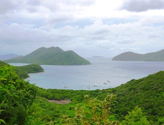
Beginning from the spectacular Annaberg Ruins, this route follows a series of trails through increasingly secluded scenery, ending at the very remote Brown Bay.
Moderate Hiking
9.3 km away
Walk through the forest to find secluded, sandy beaches that are perfect for swimming and snorkeling.
Easy Hiking
5 routes · Hiking

63 routes · Alpine Climbing · Hiking