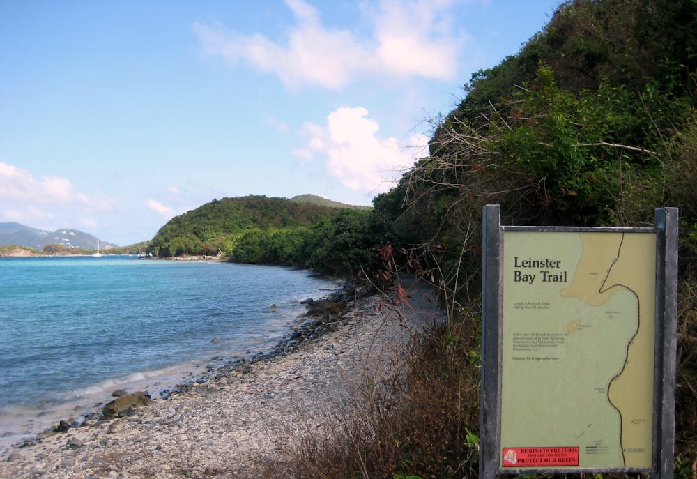
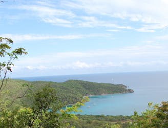
From the end of Watermelon Bay Beach, the trail goes into the foliage and starts uphill, to soon reach two sets of ruins. These are smaller than the Annaberg Ruins but with even better views, and their location is much more secluded. The trail continues beyond these ruins to join the Johnny Horn Trail and continue toward Brown Bay. Most people turn around at the Leinster Ruins, so the trail becomes more rugged and somewhat overgrown beyond there. Long pants are recommended to guard against thorny plants. The Johnny Horn Trail proceeds uphill through the sunny scrub forest to a ridge top and a junction with Brown Bay Trail. Turn on Brown Bay Trail and follow it downhill all the way to the coast.
Note that you could cut out some or all of this walking distance with a boat. Lots of people kayak or paddleboard from Annaberg to Watermelon Bay. By doing that, you could stash or moor your boat and start the hiking in Watermelon Bay, or even continue paddling around Leinster Point to Brown Bay, though the water is rougher out there.
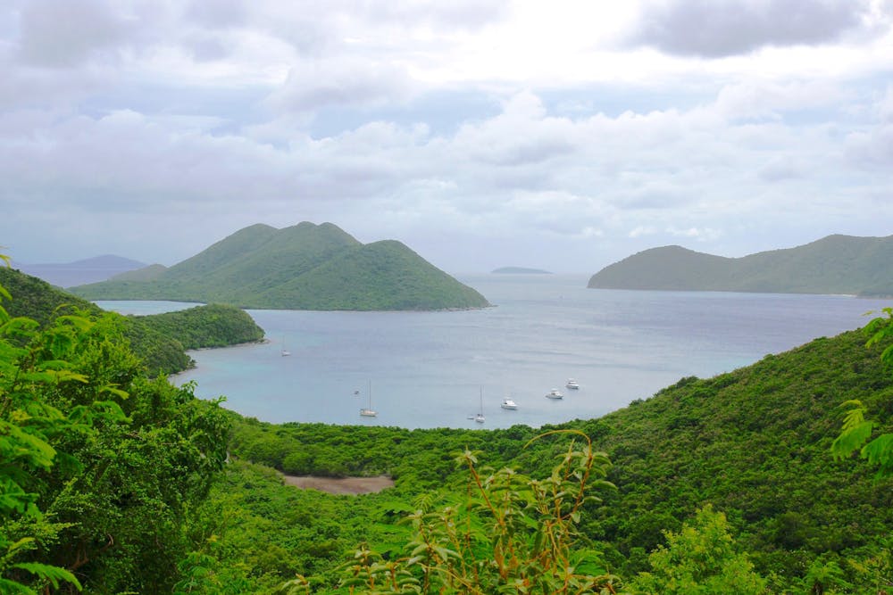
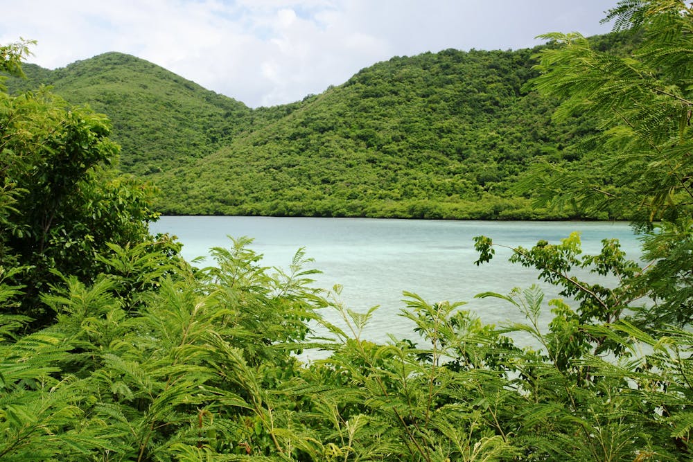
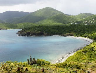
No matter how you reach it, by water or by trail, at Brown Bay you’ll find a cove of calm water where hardly anyone goes. The bay has a narrow sand beach, but it can get covered with the tide, and the nearby salt pond contributes some extra odors and insects. Therefore you should bring snorkeling gear to get full value out of this spot, as the water is the best place to be.
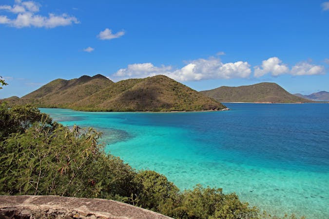
The Brown Bay Trail actually continues up the nearby ridge to an overlook of Hurricane Hole on the other side of the island. It then crosses over to meet East End Road, so you could hike to Brown Bay from that end of the trail instead.
Source:
https://www.nps.gov/viis/planyourvisit/upload/New%20Trail%20Map%201.pdf