"West Couloir" of the Pic de la Montagnette
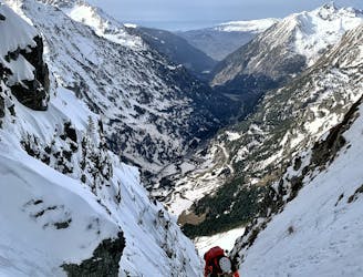
Nice alpine route up an easy couloir with a spicy mixed climbing section three quarters the way up
Severe Alpine Climbing
- Distance
- 7.3 km
- Ascent
- 813 m
- Descent
- 813 m
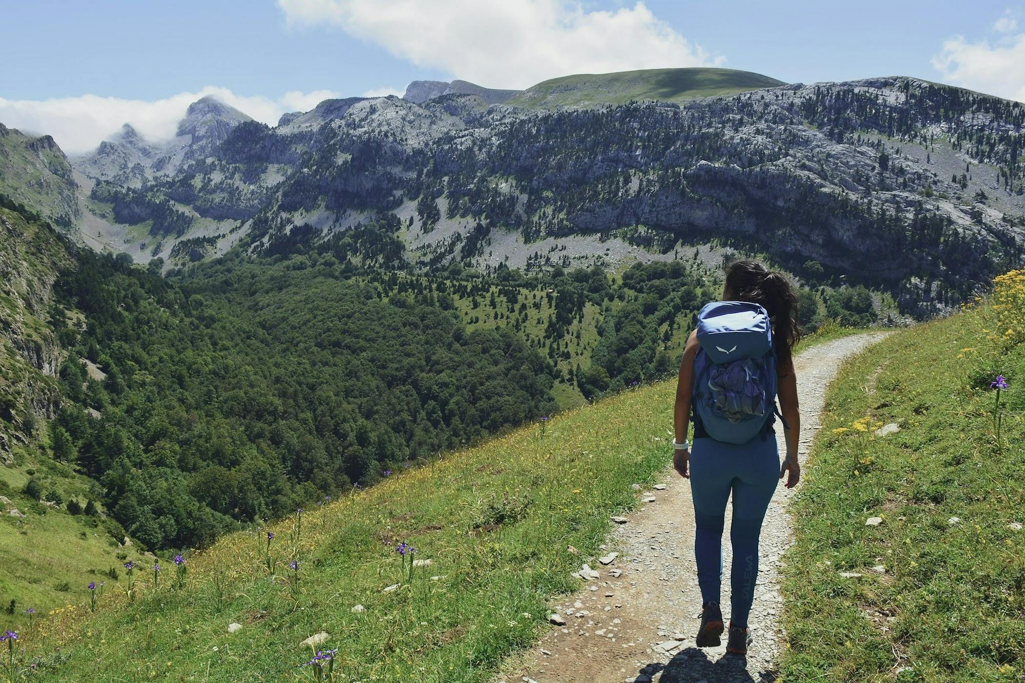
Explore Huesca with curated guides of the best hiking trails, mountain bike trails, ski routes, and more. With over 54 3D trail maps in FATMAP, you can easily discover and navigate the best trails in Huesca.
No matter what your next adventure has in store, you can find a guide on FATMAP to help you plan your next epic trip.
Get a top trail recommendation in Huesca from one of our 1 guidebooks, or get inspired by the 54 local adventures uploaded by the FATMAP community. Start exploring now!
Nice alpine route up an easy couloir with a spicy mixed climbing section three quarters the way up
Severe Alpine Climbing

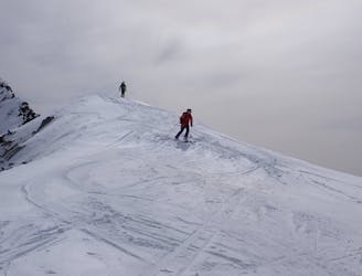
bajada entretenida desde silla raca
Moderate Freeride Skiing

bajada desde estacion de candanchu inclinada y divertida
Difficult Freeride Skiing

canal de rara formacion solo años de mucha nieve
Extreme Freeride Skiing

canal muy inclinada en un valle precioso
Extreme Freeride Skiing

trepada facil en buenas condiciones y bajada sencilla con buenas condiciones
Severe Freeride Skiing

larga canal desde silla de la raca
Severe Freeride Skiing

ruta que combina treking y ski
Severe Freeride Skiing
retorno del refugio por el camino largo
Moderate Ski Touring

Ruta muy Completa y asequible
Moderate Hiking
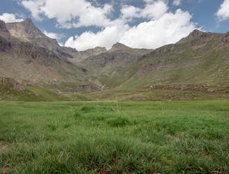
An accesible peak between the both sides of the range
Moderate Hiking
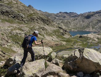
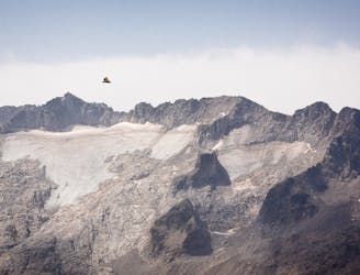
Great mountain lakes and high mountains
Moderate Hiking
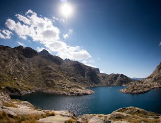
Visiting an surprising (sometimes dry but flowery) mountain lake
Moderate Hiking
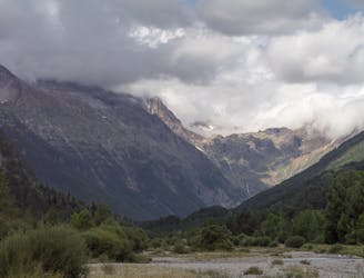
Beautiful paths along the forests of Pineta valley
Easy Hiking

larga y bonita ruta para conocer valles poco visitados
Moderate Hiking
escursion sencilla para conocer la zona norte del Balneario de Panticosa
Moderate Hiking