Marcheuson's between slope line

Small short cut line going close the slopes.
Severe Freeride Skiing
- Distance
- 410 m
- Ascent
- 0 m
- Descent
- 112 m
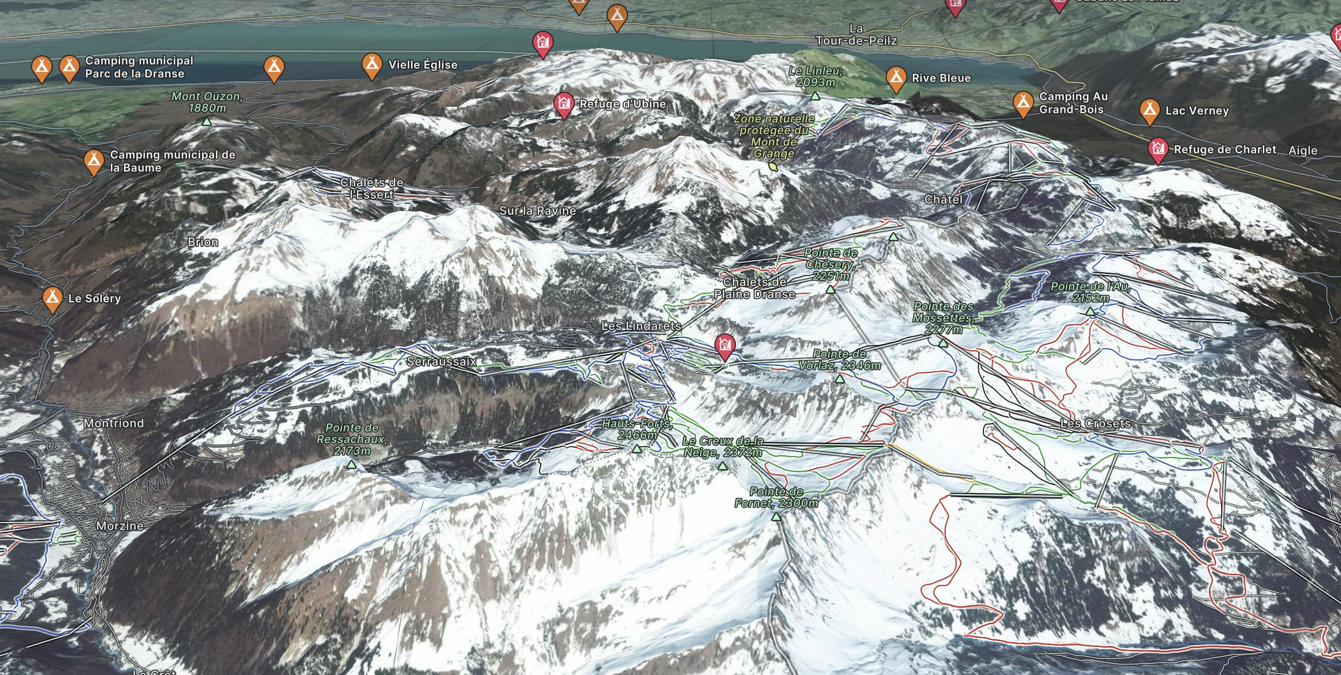
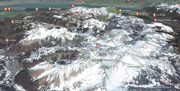
Go Freeride in Avoriaz with curated guides of the best routes across the region. With over 85 3D trail maps in FATMAP, you can easily discover and navigate the best routes in Avoriaz.
No matter what your next adventure has in store, you can find a guide on FATMAP to help you plan your next epic trip.
Get a top Freeride recommendation in Avoriaz from one of our 3 guidebooks, or get inspired by the 85 local adventures uploaded by the FATMAP community. Start exploring now!
Small short cut line going close the slopes.
Severe Freeride Skiing

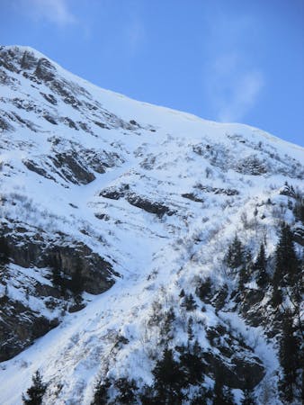
Easily accessed line but really steep.
Extreme Freeride Skiing

A long hike needed what give you access to a steep and then forested line.
Extreme Freeride Skiing

Short cut line under "Mossettes-Suisse" chairlift with some very steep ground.
Extreme Freeride Skiing

A half day line with a lot of hiking and some really good skiing skills required.
Extreme Freeride Skiing

A steep hike with a short line but really steep.
Extreme Freeride Skiing

A long hike access line until the summit where a really steep hike is present including a steep line.
Extreme Freeride Skiing

Easy and gentle line close the trees.
Easy Freeride Skiing

18 routes · Freeride Skiing
9 routes · Freeride Skiing · Ski Touring