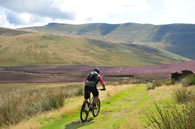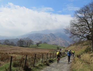
This mountain bike route could definitely be called Loughrigg Lite in comparison to some possibilities in the area, but this wouldn’t really do justice to a superb little loop that in just 10km takes in a little of everything that’s good about Lakeland mountain biking.
Moderate Mountain Biking
- Distance
- 9.7 km
- Ascent
- 318 m
- Descent
- 309 m
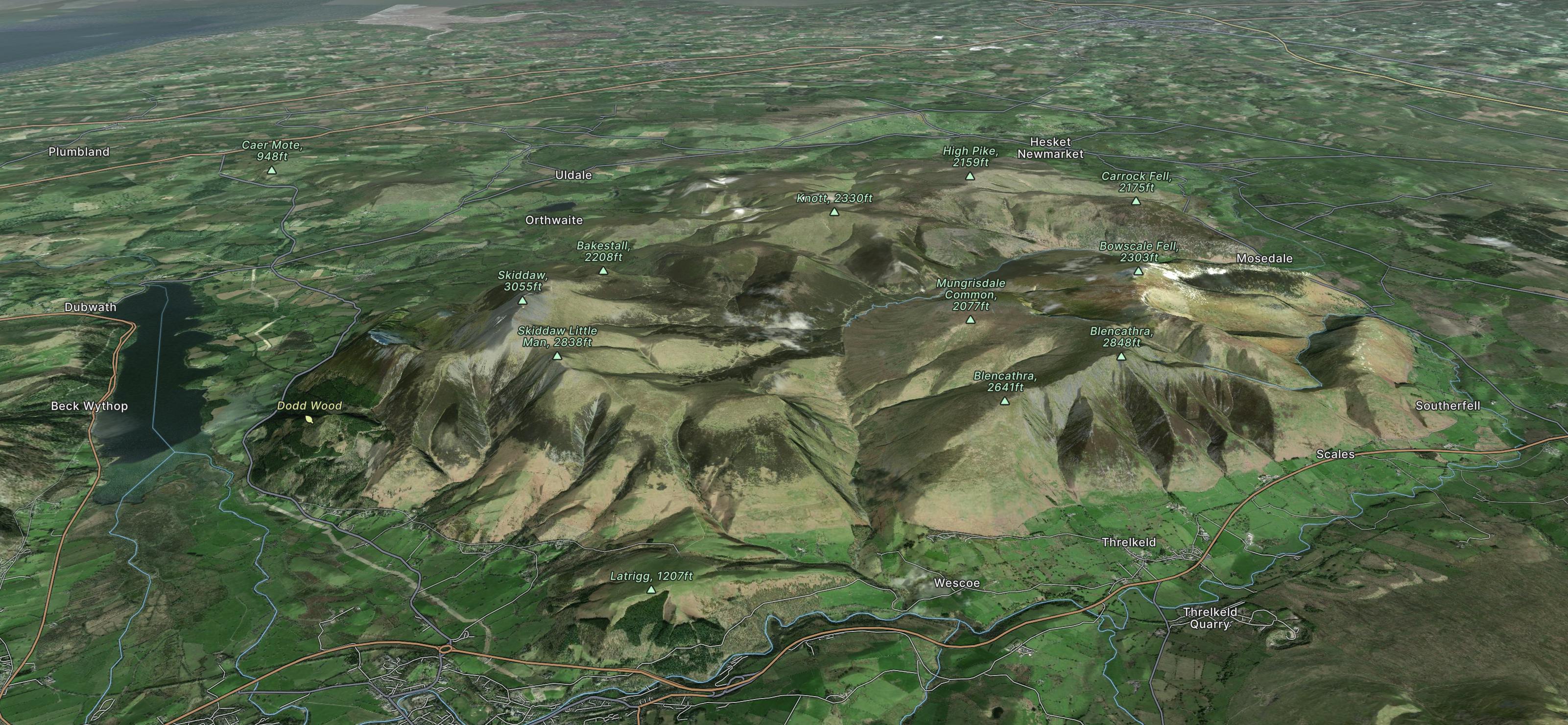
A short but sweet loop from Keswick heading out to Threlkeld and back via some great singletrack skirting Lonscale Fell and a fast descent from Lattrig back into town.
Difficult Mountain Biking
- Distance
- 17 km
- Ascent
- 474 m
- Descent
- 473 m
A steep ride, carry and push from Keswick to the top of one of the highest legally rideable fells in the Lakes, followed by a fast, loose and wild descent back to town! Not for beginners!
Severe Mountain Biking
- Distance
- 7.8 km
- Ascent
- 856 m
- Descent
- 19 m
A big ride for experienced mountain bikers, climbing to and descending from two classic Lakeland passes on some of the best riding in the Lakes.
Severe Mountain Biking
- Distance
- 22 km
- Ascent
- 887 m
- Descent
- 1.1 km
A big route up England's highest legally ride-able hill, with a long steep and technical descent on challenging trails suitable for experienced riders.
Extreme Mountain Biking
- Distance
- 19 km
- Ascent
- 1 km
- Descent
- 1 km
A ride on the lesser used side of Helvellyn for fit and technically skilled riders prepared for a full-on mountain day!
Severe Mountain Biking
- Distance
- 19 km
- Ascent
- 1.2 km
- Descent
- 1.2 km
A mammoth outing from Grasmere climbing up and over the entire Helvellyn ridge, before returning on the Old Coach Road and back on the Thirlmere Valley road to Grasmere. This is a big mountain day out so pack a backpack accordingly!
Severe Mountain Biking
- Distance
- 40 km
- Ascent
- 1.6 km
- Descent
- 1.6 km
A big day out with a tough climb up to Helvellyn, a ridge-top adventure crossing the Dodds, fast grassy singletrack, and the great descent of the Old Coach Road to St John's in the Vale.
Severe Mountain Biking
- Distance
- 26 km
- Ascent
- 1 km
- Descent
- 1.1 km